Hooper Inlet
- Saltwater
- Inlet
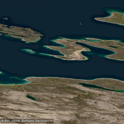
Hooper Inlet
- Saltwater
- Inlet
- Sq. miles
- 173
- Boat Ramps
- 0
- Access Points
- 0
- Campsites
- 0
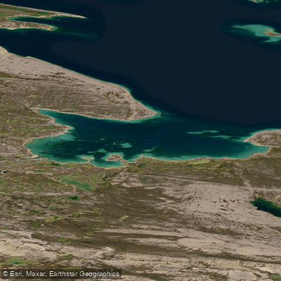
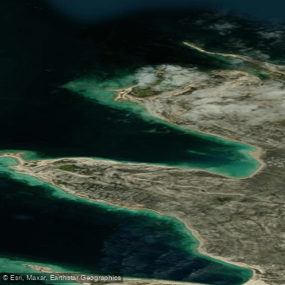
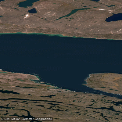
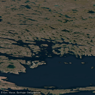
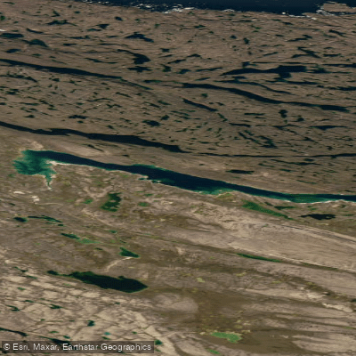
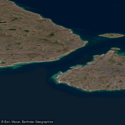
Hooper Inlet is a coastal inlet located north of the Melville Peninsula, forming part of the frigid marine passage between mainland Canada and Baffin Island. It connects to the larger Fury and Hecla Strait. The inlet's landscape is characterized by a transition from a rough Precambrian terrain to low-lying beds of later sedimentary strata, which create gentle gradients and shallow offshore areas. This geography suggests a generally shallow and potentially complex shoreline for paddlers. The region is locked in ice for much of the year, with the inlet's bay typically clearing of pack ice only by the first week of August. Paddling is therefore only viable during a very short summer window. The pack ice drifting south from Fury and Hecla Strait can sometimes enter the inlet even during the clearing period, representing a significant and dynamic hazard. The surrounding environment is a stark Arctic landscape, with the smooth ice of the inlet historically used as a travel corridor for ice trails. The waters are part of the Foxe Basin ecosystem. Given the extreme remoteness, severe ice conditions, and very short navigable season, this area is suitable only for highly experienced expedition paddlers prepared for self-sufficient, wilderness travel in a challenging polar environment with no facilities or amenities.
Water access, boat ramps & amenities
Learn how to get on Hooper Inlet. Uncover great paddling access points, boat ramps, and all the facilities you need for an unforgettable day on the water. Some locations shown may border or include private property. Always check property boundaries and applicable regulations before visiting. PaddleWays's Public & Private Land layer can help you plan your access with confidence.
Paddle smarter with real-time insights
Whether you're en route and conditions shift or you're looking for the best spot based on current flows, we enable you to make informed decisions on the fly.








Find Places to Paddle

Over 400,000 Places to Paddle
Every user gets free access to launch points, boat ramps, and public property parcels.


Tides, wind & water conditions (10 day forecast)
On open water, wind and tide matter as much as the weather. See the best times to paddle Hooper Inlet and check the marine forecast before you launch.
Loading tide predictions…
Explore Nu waters
Top paddling waters
No waters available right now.
Popular Cities
Loading popular cities...
Explore near Hooper Inlet

Smarter Paddling Starts in the App.
Paddleways gives you everything you need to plan smarter, paddle better, and own every trip from first launch to takeout.