Mogg Bay
- Saltwater
- Bay
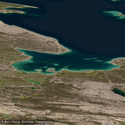
Mogg Bay
- Saltwater
- Bay
- Sq. miles
- 17
- Boat Ramps
- 0
- Access Points
- 0
- Campsites
- 0
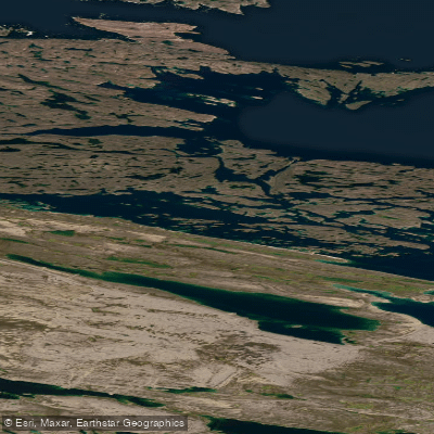
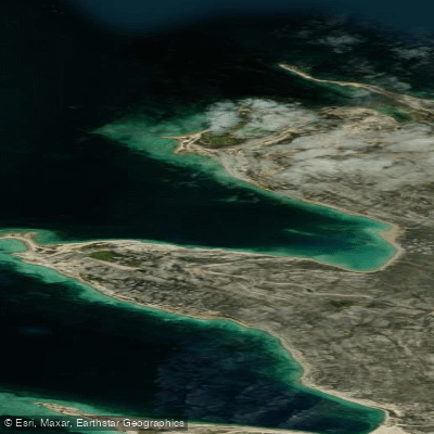
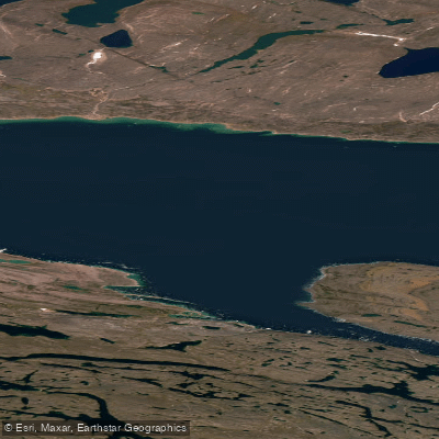
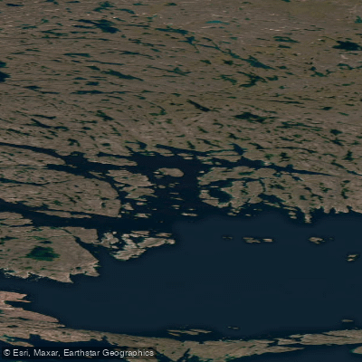
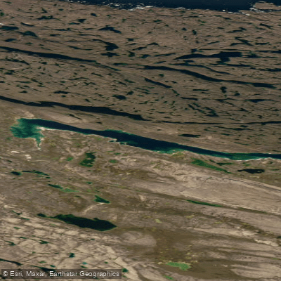
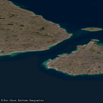
Mogg Bay is a shallow coastal bay located near the community of Igloolik in Nunavut. The bay is very shallow, with the adjacent stretch of coast bordered by shoal water extending a considerable distance offshore. This extensive shallowness is a primary consideration for paddlers, as it significantly limits access for larger vessels but also means that even small waves can break over a wide area, creating potentially hazardous conditions in wind. The coastline here is generally low-lying. Notable nearby geographical features include the Coxe Islands, which rise to over 30 meters, and the steep, rugged Khemig Island. The passage between Coxe Islands and Igloolik Island contains uncharted rocks, presenting a navigation hazard. Tidal streams in the outer part of the larger Turton Bay area, into which Mogg Bay feeds, are weak. The region experiences a significant ice season; ice typically clears for a period in late summer, with the optimum open-water period being around the first week of September, and freeze-up generally occurring in mid-October. The area holds cultural significance as part of the territory near Igloolik, a community known as a cultural centre. The bay is used locally for activities like fishing throughout the day and night during the ice-free season. For paddlers, the combination of extreme shallowness, the presence of uncharted rocks in key passages, and the short, specific open-water window are the most critical planning factors.
Water access, boat ramps & amenities
Learn how to get on Mogg Bay. Uncover great paddling access points, boat ramps, and all the facilities you need for an unforgettable day on the water. Some locations shown may border or include private property. Always check property boundaries and applicable regulations before visiting. PaddleWays's Public & Private Land layer can help you plan your access with confidence.
Paddle smarter with real-time insights
Whether you're en route and conditions shift or you're looking for the best spot based on current flows, we enable you to make informed decisions on the fly.








Find Places to Paddle

Over 400,000 Places to Paddle
Every user gets free access to launch points, boat ramps, and public property parcels.


Tides, wind & water conditions (10 day forecast)
On open water, wind and tide matter as much as the weather. See the best times to paddle Mogg Bay and check the marine forecast before you launch.
Loading tide predictions…
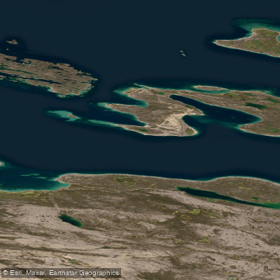
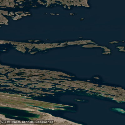
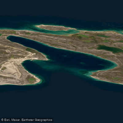
Explore Nu waters
Top paddling waters
No waters available right now.
Popular Cities
Loading popular cities...
Explore near Mogg Bay

Smarter Paddling Starts in the App.
Paddleways gives you everything you need to plan smarter, paddle better, and own every trip from first launch to takeout.