Tim River Algonquin Provincial Park Access
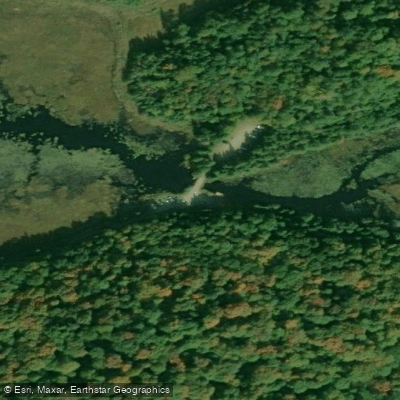
Tim River Algonquin Provincial Park Access
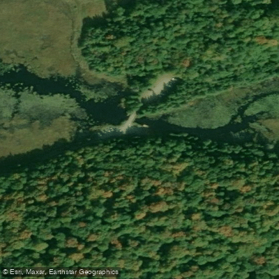
The Tim River Access Point (Access Point #2) is a backcountry canoe launch located on the west side of Algonquin Provincial Park. To reach it, turn east off Highway 11 at Emsdale onto Highway 518, pass through Kearney, continue for 14.
4 km, then turn right onto Forestry Tower Road and follow it 19 km to the river. Tim Lake lies approximately 2 km downstream (east) of the put-in.
The access point connects paddlers to the Tim River corridor and, via portage routes, to the broader western interior of the park.
It is noted as a good entry point for reaching the Nipissing River, which is regarded as one of Algonquin's better waterways for spring brook trout fishing.
The western access points in this area generally see fewer crowds than the more heavily used Highway 60 corridor. The access point office serving this location is situated in Kearney on Highway 518.
Nearby points of interest
Find excellent paddling spots, easy access to boat ramps, and all the amenities you need for a memorable day. Your adventure starts here.
Water and weather conditions (10 day forecast)
Check the forecast at Tim River Algonquin Provincial Park Access before you go paddling.
No forecast data available.
Paddling near Tim River Algonquin Provincial Park Access
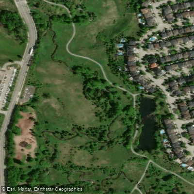
Holland River East Branch
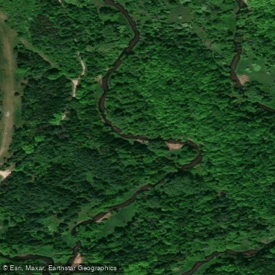
Humber River
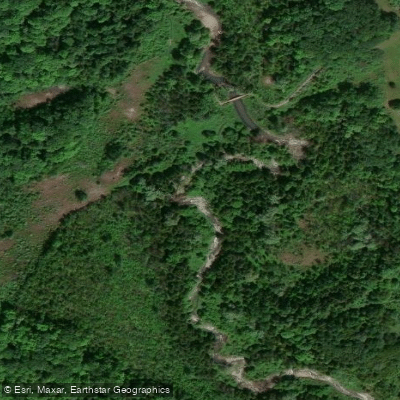
Duffins Creek
Pefferlaw River
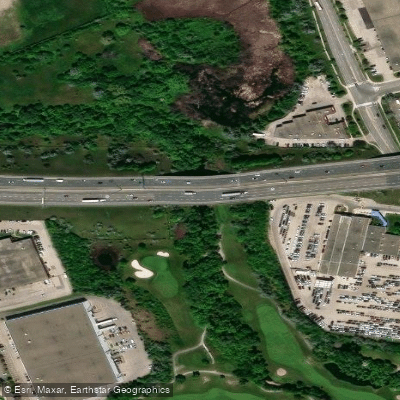
Mimico Creek
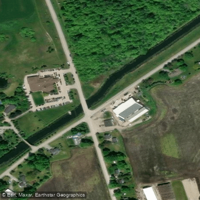
Holland River
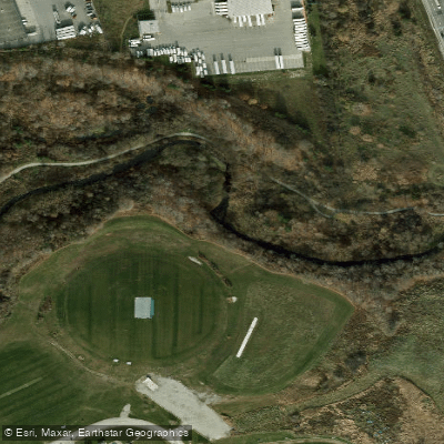
Etobicoke Creek
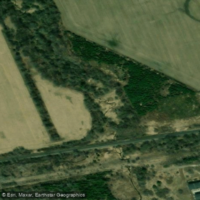
Petticoat Creek
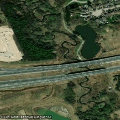
Lynde Creek
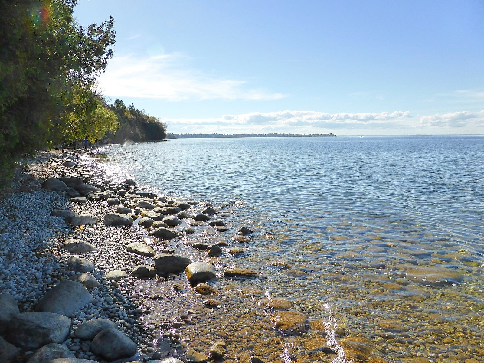
Lake Simcoe
On licenses and regulations
Explore On waters
Top paddling waters
No waters available right now.
Popular Cities
Loading popular cities...
Explore near Tim River Algonquin Provincial Park Access

Smarter Paddling Starts in the App.
Paddleways gives you everything you need to plan smarter, paddle better, and own every trip from first launch to takeout.