Lake Temagami
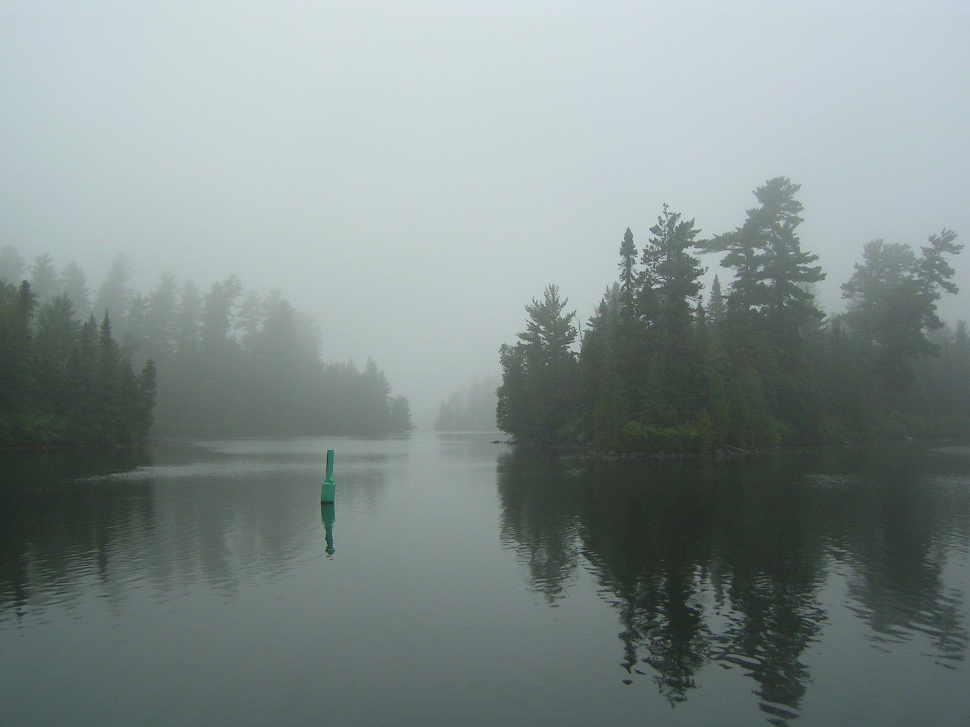
Lake Temagami
- Boat Ramps
- 5
- Access Points
- 0
- Campsites
- 49
Lake Temagami is a large lake in near-North Ontario, stretching approximately 25 miles from north to south with over 1,500 islands, more than 2,000 miles of shoreline, and numerous bays and inlets. The lake's geography ranges from rocky outcrops at the far north end to a sandy beach at the south end. It forms the hub of one of the most extensive backcountry canoe networks in North America, with roughly 4,700 kilometres of canoe routes across the broader Temagami region.
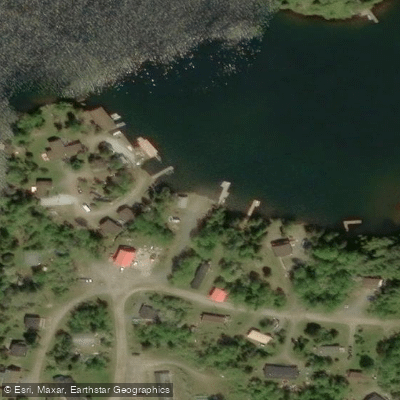
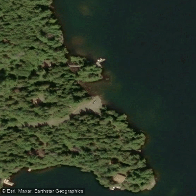
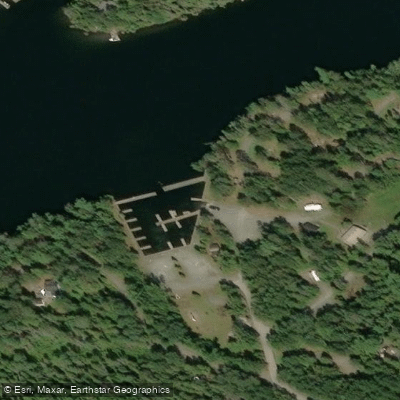
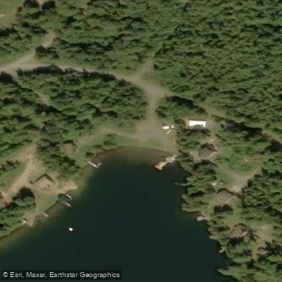
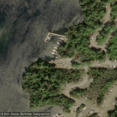
The primary access point is via the Central Lake Temagami Access Road, an 18-kilometre gravel road that turns west off Highway 11 just south of the town of Temagami. This road serves Bear Island First Nation residents and cottagers, so paddlers should expect regular vehicle traffic. Two large public boat launches and a private marina are located at the end of the road, with free parking available. Additional launch options exist in the town of Temagami itself, where paddlers can head east toward Snake Island Lake or west onto Lake Temagami. Parking in town can be arranged through local outfitters such as Temagami Outfitting Company or Lakeland Airways.
The lake connects to an extensive system of routes that can range from easy three-day loops to multi-week expeditions. A popular introductory loop begins at the Central Lake Temagami Access point and takes in the old-growth trails on Temagami Island, passes through Kokoko Lake, and includes a visit to the Devil Mountain lookout — a site used by the Anishinaabe in the mid-1600s as a lookout point. The eastern cliffs of central Lake Temagami provide a scenic return leg. For paddlers looking to venture further, the lake connects via short portages to Lady Evelyn Lake, Sucker Gut Lake, and Willow Island Lake, offering thousands of kilometres of largely undeveloped shoreline.
The paddling season typically opens after ice-out, which can occur anywhere from the third week of April to the second week of May. To avoid peak-season congestion, the best windows are before early July and after the third week of August. Wildlife along the shoreline includes moose, bear, and beaver. The broader Temagami area also contains Indigenous pictographs at various locations; paddlers are expected to treat these sites with respect and not touch the rock art.
Water access, boat ramps & amenities
Learn how to get on Lake Temagami. Uncover great paddling access points, boat ramps, and all the facilities you need for an unforgettable day on the water. Some locations shown may border or include private property. Always check property boundaries and applicable regulations before visiting. PaddleWays's Public & Private Land layer can help you plan your access with confidence.
Paddle smarter with real-time insights
Whether you're en route and conditions shift or you're looking for the best spot based on current flows, we enable you to make informed decisions on the fly.








Find Places to Paddle

Over 400,000 Places to Paddle
Every user gets free access to launch points, boat ramps, and public property parcels.


Water and weather conditions (10 day forecast)
See the best times to paddle Lake Temagami and check the forecast before you go.
No forecast data available.
Paddling near Lake Temagami
Holland River East Branch
Humber River
Duffins Creek
Pefferlaw River
Mimico Creek
Holland River
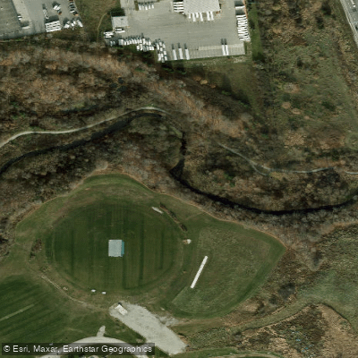
Etobicoke Creek
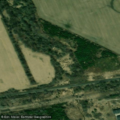
Petticoat Creek
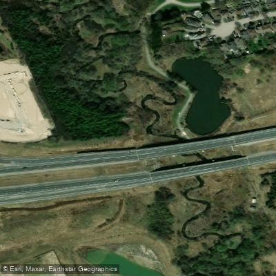
Lynde Creek
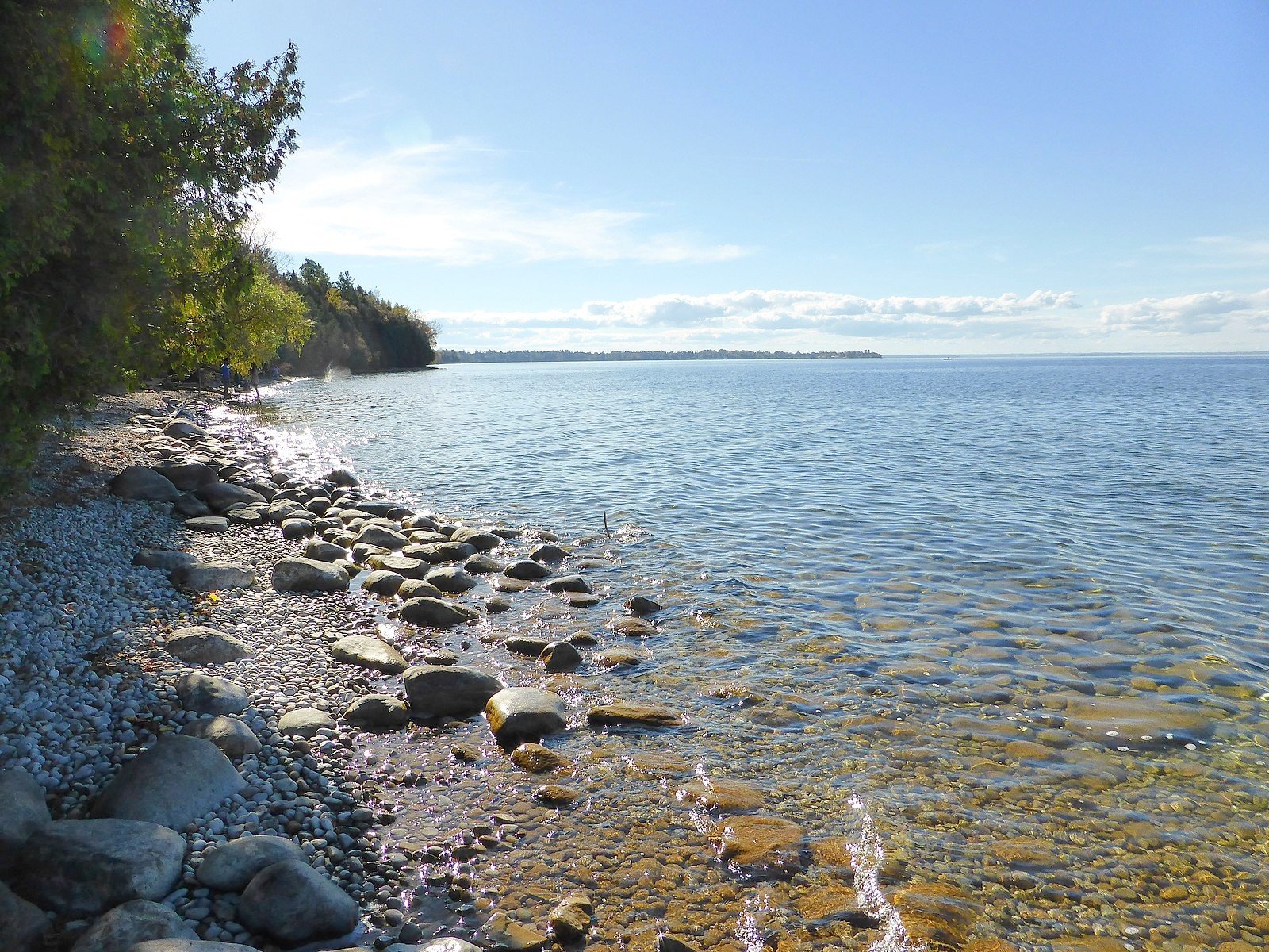
Lake Simcoe
Explore On waters
Top paddling waters
No waters available right now.
Popular Cities
Loading popular cities...
Explore near Lake Temagami
Access points
Nearby waters
More in On

Smarter Paddling Starts in the App.
Paddleways gives you everything you need to plan smarter, paddle better, and own every trip from first launch to takeout.