Paddling in Ivvavik National Park
- National Park
- Lakes
- 3
- Rivers
- 38
- Access
- 0
- Boat Ramps
- 0
- Shops
- 0
Ivvavik sits in the northwest corner of Yukon, roadless and remote, where the British Mountains merge into Alaska's Brooks Range and drain north toward the Arctic Ocean.
The paddling here is defined almost entirely by one river, and that river demands serious respect. The Firth River is the reason paddlers come.
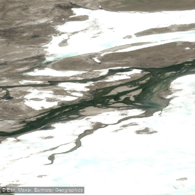
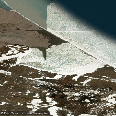
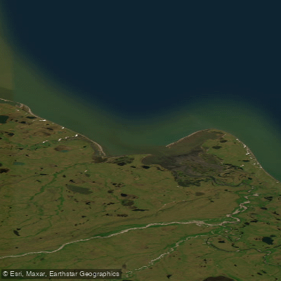
It runs from year-round aufeis formations at its headwaters, through a succession of deep canyons, across open Arctic coastal plain, and finally fans into a delta before reaching Nunaluk Spit on the Beaufort Sea — roughly 80 miles of moving water.
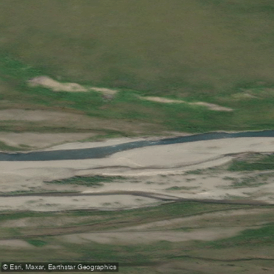
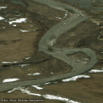
The river is considered one of the oldest on the continent, and its character shifts dramatically along that distance: canyon whitewater gives way to braided tundra channels as the gradient eases toward the coast.
Trips typically begin with a bush plane drop at Margaret Lake near the headwaters and run one to two weeks to the takeout at the coast, which is also air access only. There are no roads in or out. The season is short and dictated by Arctic conditions.
The park's contact hours run May through mid-September, which brackets the practical paddling window. Water levels and ice conditions at the headwaters aufeis can affect launch timing significantly. This is not a river for building skills.
The combination of remote canyon whitewater, cold water, wildlife exposure — grizzly, wolf, muskox, and the Porcupine caribou herd moving through — and the complete absence of road access means self-rescue is the only rescue.
A float plan filed with Parks Canada is essential. The park requires visitors to be aware of and comply with national park regulations; contact Parks Canada in Inuvik before your trip for current permit and registration requirements.
The Firth doesn't ask whether you're ready. It just keeps moving north.
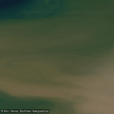
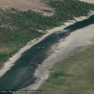
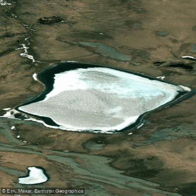
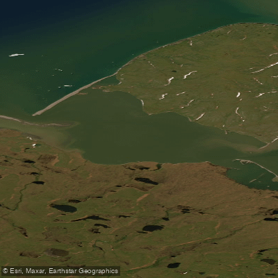
Top waters to paddle near Ivvavik National Park
Water and weather conditions (10 day forecast)
See the best times to paddle Ivvavik National Park and check the forecast before you go.
No forecast data available.
Paddle smarter with real-time insights
Whether you're en route and conditions shift or you're looking for the best spot based on current flows, we enable you to make informed decisions on the fly.







Paddling near Ivvavik National Park
Loading...
Gateway towns
Where to base yourself for paddling in Ivvavik National Park.
- InuvikNT
The mandatory Parks Canada orientation, trip registration, fishing permits, and charter flights into the park all depart from here.
Explore Ivvavik National Park
Top paddling waters
Popular Cities
Loading popular cities...

Smarter Paddling Starts in the App.
Paddleways gives you everything you need to plan smarter, paddle better, and own every trip from first launch to takeout.