Paddling in Jacques-Cartier National Park
- National Park
- Lakes
- 87
- Rivers
- 9
- Access
- 2
- Boat Ramps
- 0
- Shops
- 0
The Jacques-Cartier sits in a deep glacial valley in the Laurentian Mountains, about 30 minutes north of Quebec City. The park — 670 sq.
km of forested ridges and carved bedrock — is built around moving water, and the Rivière Jacques-Cartier is the axis everything else turns on. The river runs through the park valley for roughly 26 km of navigable water.
Most of that stretch is calm, with cliffs rising as high as 500 metres off the water — the kind of scale that makes you paddle slowly just to take it in.
There are rapids in the mix, but the park has portage trails around the technical sections, so paddlers who aren't looking for whitewater can stay on the flatwater without being forced off the river.
SUP is possible on a shorter, quieter section of the same corridor.
The park operates a shuttle service that carries paddlers and their boats to the upper launch points, with runs roughly every hour — useful if you want to do the downstream run without spotting a vehicle.
Rentals at the park are sit-on-top kayaks, open-deck inflatables, and canoes, available at the km 3 facility. The park also rents stand-up paddleboards.
These are not the craft you'd choose for the Tewkesbury whitewater downstream — that's a different, more serious section of the same river outside the park boundary — but they're well-suited to the valley corridor the park manages.
Fishing on the river comes with a specific requirement: a daily fishing permit issued by the park, on top of your provincial licence. Atlantic salmon are present, and salmon fishing is prohibited — any salmon caught must be released immediately.
Check with the park directly for current rules before you go. The valley is a summer destination for paddling, with the park open year-round but water activities concentrated in the warmer months.
What the park gives you that the commercial whitewater operations downstream don't is quiet — long flatwater stretches, steep valley walls, and the particular stillness of a protected river corridor close to a major city that somehow still feels remote.
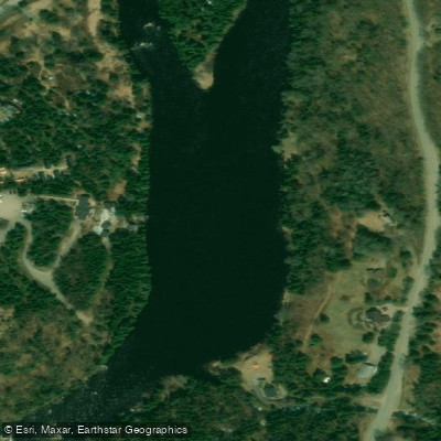
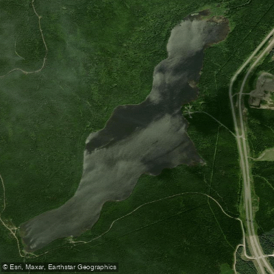
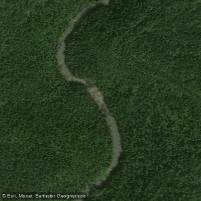
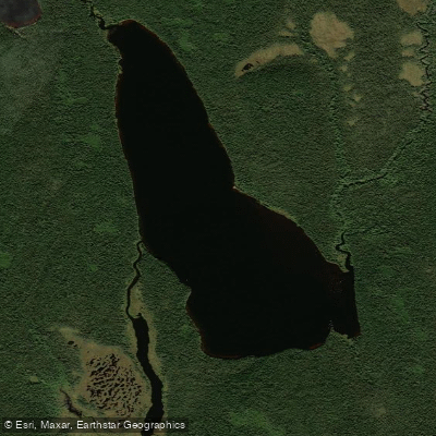
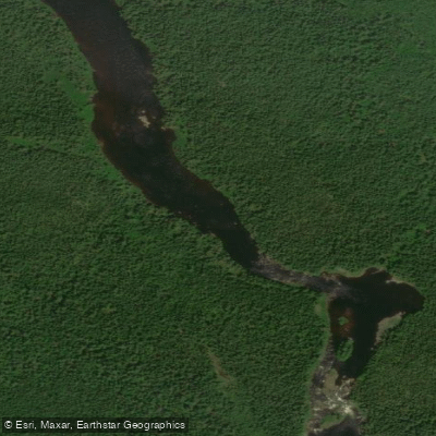
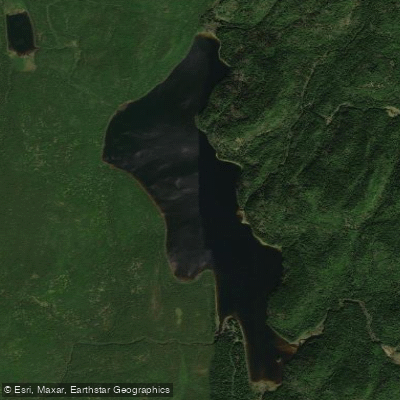
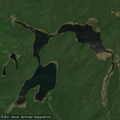
Top waters to paddle near Jacques Cartier National Park
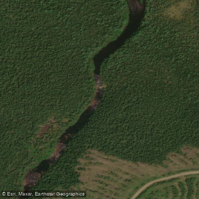
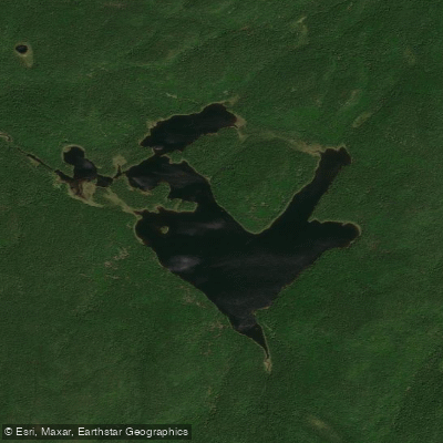
Water and weather conditions (10 day forecast)
See the best times to paddle Jacques-Cartier National Park and check the forecast before you go.
No forecast data available.
Paddle smarter with real-time insights
Whether you're en route and conditions shift or you're looking for the best spot based on current flows, we enable you to make informed decisions on the fly.







Paddling near Jacques-Cartier National Park
Loading...
Gateway towns
Where to base yourself for paddling in Jacques-Cartier National Park.
- Stoneham-et-TewkesburyQC
The municipality at the park's doorstep, with lodging, outfitters, and the closest services to the main entrance.
- Québec CityQC
The nearest city, offering full lodging, gear shops, and a daily shuttle service into the park.
Explore Jacques-Cartier National Park
Top paddling waters
Popular Cities
Loading popular cities...

Smarter Paddling Starts in the App.
Paddleways gives you everything you need to plan smarter, paddle better, and own every trip from first launch to takeout.