Rivière Jacques-Cartier Nord-Ouest
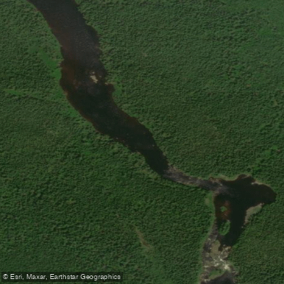
Rivière Jacques-Cartier Nord-Ouest
- Boat Ramps
- 0
- Access Points
- 0
- Campsites
- 0
The Rivière Jacques-Cartier Nord-Ouest is a 41.5-kilometre tributary of the Jacques-Cartier River, located in the unorganized territory of Lac-Jacques-Cartier within the La Côte-de-Beaupré Regional County Municipality in Quebec's Capitale-Nationale region. Its source is Brassoit Lake at an elevation of 781 metres, and it descends to its confluence with the Jacques-Cartier River at 340 metres. The river passes through Jacques-Cartier National Park and its main associated water body is Petit lac Jacques-Cartier.
The river is characterized by serious whitewater running through a substantial canyon upstream of its confluence with the Jacques-Cartier. The upper gorge contains significant rapids, and there is at least one waterfall on the upper river that may be unrunnable depending on conditions. The whitewater is consistently demanding throughout, with few easy sections — one rapid is described as probably the smallest of the trip, suggesting the overall gradient and difficulty are sustained. Portaging is required at certain points, and the forest along the banks is described as thick and difficult to move through, making portages arduous.
Access logistics are complex. The take-out is shared with the Taureau section of the Jacques-Cartier and is located at the confluence area. Driving to the put-in is possible but involves a long drive on roads that are not well-mapped. The more practical approach is to fly in from St. Raymond with Aviation Mauricie to a lake on the northern branch of the river above the gorges, making this effectively a fly-in wilderness run.
The river flows through a deep canyon with towering walls blanketed in thick boreal forest, and the confluence with the Jacques-Cartier occurs within the Jacques-Cartier gorge, an ancient cleft in the landscape. The overall character of the trip is a remote, committing wilderness run with sustained whitewater and limited bailout options.
The river surface is generally frozen from early December to late March, with safe travel on ice typically possible from late December to early March. This effectively limits the paddling season to the spring, summer, and fall months.
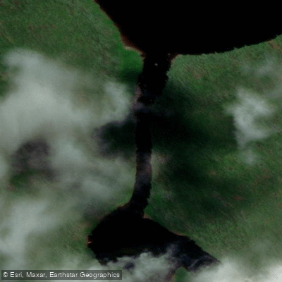
Water access, boat ramps & amenities
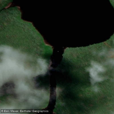
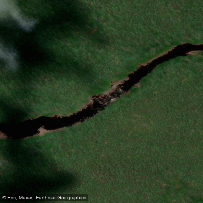
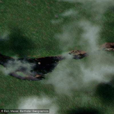
Learn how to get on Rivière Jacques-Cartier Nord-Ouest. Uncover great paddling access points, boat ramps, and all the facilities you need for an unforgettable day on the water. Some locations shown may border or include private property. Always check property boundaries and applicable regulations before visiting. PaddleWays's Public & Private Land layer can help you plan your access with confidence.

Paddle smarter with real-time insights
Whether you're en route and conditions shift or you're looking for the best spot based on current flows, we enable you to make informed decisions on the fly.







Qc licenses and regulations
No licenses or regulations available for Qc.
Find Places to Paddle

Over 400,000 Places to Paddle
Every user gets free access to launch points, boat ramps, and public property parcels.


Water and weather conditions (10 day forecast)
See the best times to paddle Rivière Jacques-Cartier Nord-Ouest and check the forecast before you go.
No forecast data available.
Paddling near Rivière Jacques-Cartier Nord-Ouest
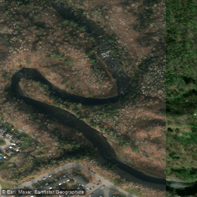
Rivière Saint-Charles
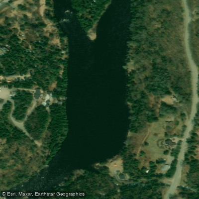
Rivière Jacques-Cartier

Estuaire fluvial du Saint-Laurent
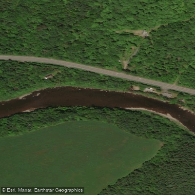
Rivière Etchemin
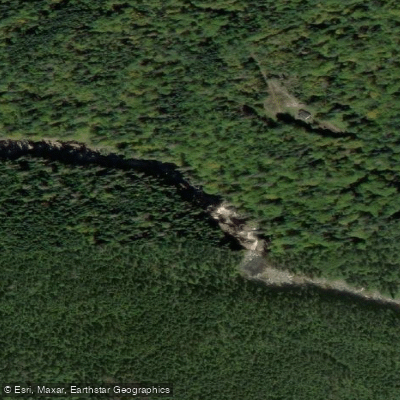
Rivière Montmorency
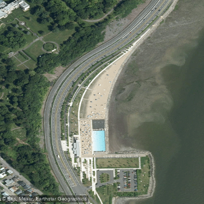
Plage Samuel de Champlain
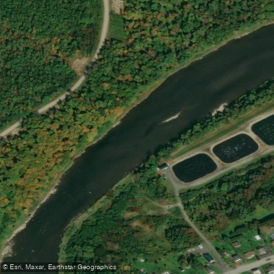
Rivière Chaudière
Rivière des Hurons
Battures de Beauport
Rivière Sainte-Anne
Explore Qc waters
Top paddling waters
No waters available right now.
Popular Cities
Loading popular cities...
Explore near Rivière Jacques-Cartier Nord-Ouest

Smarter Paddling Starts in the App.
Paddleways gives you everything you need to plan smarter, paddle better, and own every trip from first launch to takeout.