Lac à l'Épaule
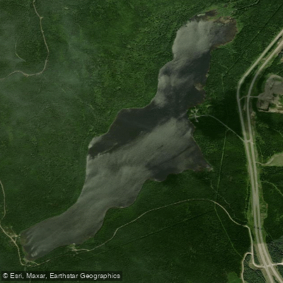
Lac à l'Épaule
- Boat Ramps
- 0
- Access Points
- 0
- Campsites
- 0
Lac à l'Épaule is a natural freshwater lake located within Jacques-Cartier National Park (Parc de la Jacques-Cartier), in the unorganized territory of Lac-Jacques-Cartier, within the La Côte-de-Beaupré Regional County Municipality in the Capitale-Nationale administrative region of Quebec. It sits at an elevation of 651 metres above sea level and measures 2.9 kilometres in length and 0.8 kilometres in width, covering approximately 305 acres with roughly 5.23 miles of shoreline. The lake has a small bay on the east bank and is elongated in shape, set between surrounding mountains. The Rivière à l'Épaule flows through the lake from north to south, and a dam was constructed at the outlet of the lake some decades ago.
Access to the lake is available via the daily fishing access point (Accès Via Pêche Quotidienne), which serves as the primary launch point. A secondary road serves the western portion of the lake for forestry and recreational tourism purposes, and Route 175 — linking Quebec City and Saguenay — passes approximately 0.25 kilometres to the east. The lake is roughly 50 minutes from Quebec City by road.
Paddlers should be aware of submerged rocks near the western shoreline, where stones are frequently found at or just below the water surface. The northern end of the lake transitions into a marsh area that is notably shallow. A handful of SEPAQ (Société des établissements de plein air du Québec) chalets are present on the lake. Amenities at the access point include a boat ramp, campsites, picnic shelter, and picnic tables.
The lake is generally calm, though it is capable of producing strong waves and challenging currents, suggesting conditions can vary and may be more suitable for paddlers with some experience. The northern marsh area offers a distinct contrast to the open water of the main lake body and warrants careful navigation due to shallow depths. Given its location within a national park, paddlers should anticipate that park regulations and potentially permit requirements may apply.
Water access, boat ramps & amenities
Learn how to get on Lac à l'Épaule. Uncover great paddling access points, boat ramps, and all the facilities you need for an unforgettable day on the water. Some locations shown may border or include private property. Always check property boundaries and applicable regulations before visiting. PaddleWays's Public & Private Land layer can help you plan your access with confidence.
Paddle smarter with real-time insights
Whether you're en route and conditions shift or you're looking for the best spot based on current flows, we enable you to make informed decisions on the fly.







Qc licenses and regulations
No licenses or regulations available for Qc.
Find Places to Paddle

Over 400,000 Places to Paddle
Every user gets free access to launch points, boat ramps, and public property parcels.


Water and weather conditions (10 day forecast)
See the best times to paddle Lac à l'Épaule and check the forecast before you go.
No forecast data available.
Paddling near Lac à l'Épaule
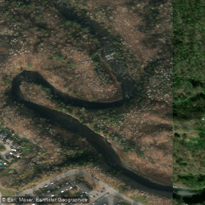
Rivière Saint-Charles
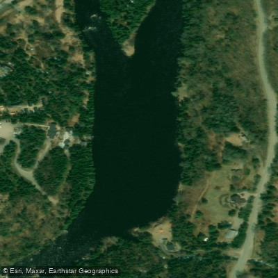
Rivière Jacques-Cartier

Estuaire fluvial du Saint-Laurent
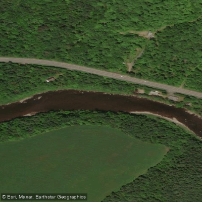
Rivière Etchemin
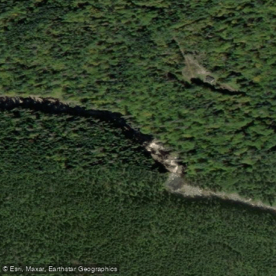
Rivière Montmorency
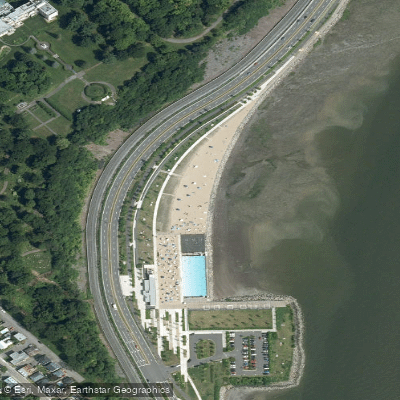
Plage Samuel de Champlain
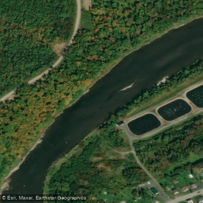
Rivière Chaudière
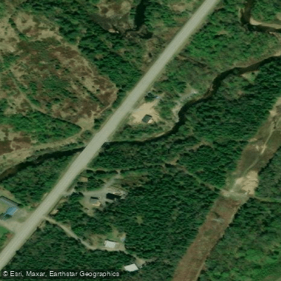
Rivière des Hurons
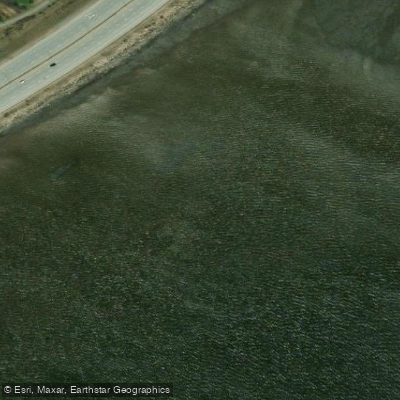
Battures de Beauport
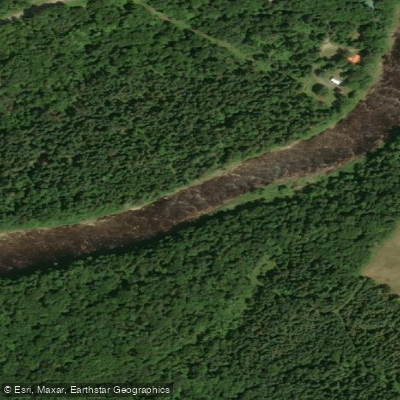
Rivière Sainte-Anne
Explore Qc waters
Top paddling waters
No waters available right now.
Popular Cities
Loading popular cities...

Smarter Paddling Starts in the App.
Paddleways gives you everything you need to plan smarter, paddle better, and own every trip from first launch to takeout.