Rivière Sautauriski
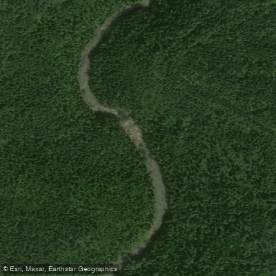
Rivière Sautauriski
- Boat Ramps
- 0
- Access Points
- 0
- Campsites
- 1
The Rivière Sautauriski is a tributary of the Jacques-Cartier River, flowing entirely within Parc national de la Jacques-Cartier in the Capitale-Nationale region of Quebec. The river originates at Nouvel Lake (approximately 47°25′51″N 71°16′18″W) and runs for 35.1 kilometres before joining the Jacques-Cartier River. The surrounding valley is primarily served on its east side by Route 175, which connects Quebec City and Saguenay, with some secondary roads serving forestry and recreational tourism purposes.
The river flows through a notable gorge, which has been described by paddlers as a defining feature of the run. Canot Kayak Québec has produced a dedicated digital map for the route, available through the Avenza Maps app, which marks put-in and take-out points, rapids, portages, camping sites, and other points of interest along the corridor. Paddlers should be aware that access to the put-in has at times been reported as closed, so confirming current access conditions with park staff before planning a trip is advisable.
The river is situated within Parc national de la Jacques-Cartier, which is administered by the Société des établissements de plein air du Québec (Sépaq). The park offers a canoe livery and visitor centre. Guided paddling excursions have been offered on Saturdays and Sundays from July 1 through the end of August, providing access to a river section otherwise not publicly accessible, with private transportation and a maximum of 12 participants per watercraft.
The Sautauriski sector also supports speckled trout fishing, with the fishing period typically running from May 20 to September 10. Salmon fishing is prohibited within the park. Beyond paddling, the river corridor is used for backcountry skiing in winter and mountain biking, reflecting the multi-season character of the surrounding terrain. The gorge area has been noted as a worthwhile destination for those interested in the landscape even outside of paddling.
The river has been paddled at water levels as low as 6–7.5 cms, suggesting it can be navigable at relatively modest flows, though paddlers should verify conditions with local knowledge or park staff before committing to a run.
Water access, boat ramps & amenities
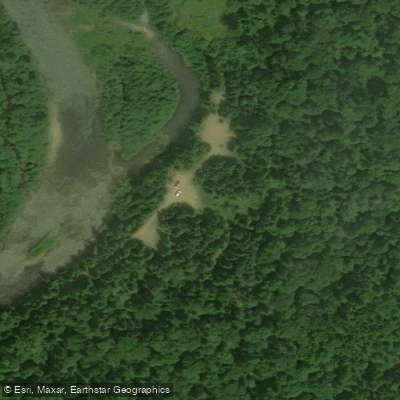
Learn how to get on Rivière Sautauriski. Uncover great paddling access points, boat ramps, and all the facilities you need for an unforgettable day on the water. Some locations shown may border or include private property. Always check property boundaries and applicable regulations before visiting. PaddleWays's Public & Private Land layer can help you plan your access with confidence.
Paddle smarter with real-time insights
Whether you're en route and conditions shift or you're looking for the best spot based on current flows, we enable you to make informed decisions on the fly.







Qc licenses and regulations
No licenses or regulations available for Qc.
Find Places to Paddle

Over 400,000 Places to Paddle
Every user gets free access to launch points, boat ramps, and public property parcels.


Water and weather conditions (10 day forecast)
See the best times to paddle Rivière Sautauriski and check the forecast before you go.
No forecast data available.
Paddling near Rivière Sautauriski
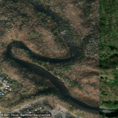
Rivière Saint-Charles
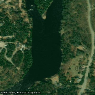
Rivière Jacques-Cartier

Estuaire fluvial du Saint-Laurent
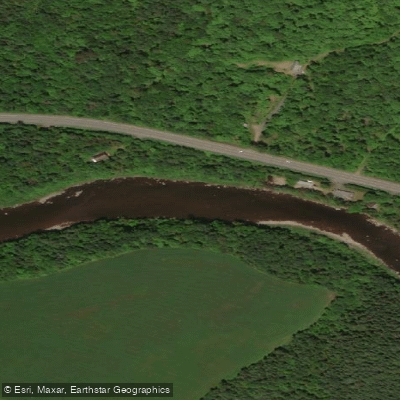
Rivière Etchemin
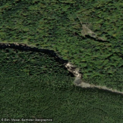
Rivière Montmorency
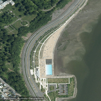
Plage Samuel de Champlain
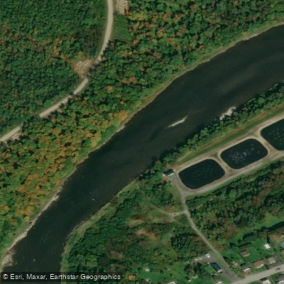
Rivière Chaudière
Rivière des Hurons
Battures de Beauport
Rivière Sainte-Anne
Explore Qc waters
Top paddling waters
No waters available right now.
Popular Cities
Loading popular cities...
Explore near Rivière Sautauriski

Smarter Paddling Starts in the App.
Paddleways gives you everything you need to plan smarter, paddle better, and own every trip from first launch to takeout.