Rivière Jacques-Cartier
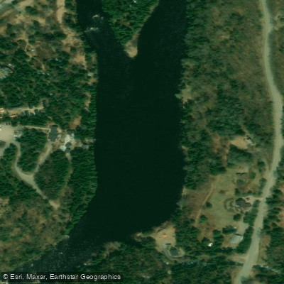
Rivière Jacques-Cartier
- Boat Ramps
- 0
- Access Points
- 0
- Campsites
- 6
The Rivière Jacques-Cartier originates at Jacques-Cartier Lake in the Laurentian Mountains and flows approximately 100 miles before emptying into the Gulf of St. Lawrence. The river runs through a dramatic glacial valley, with ridge tops rising nearly 2,000 feet above the water. Within Jacques-Cartier National Park, the river offers a navigable 26-kilometre stretch past cliffs reaching up to 500 metres in height. Further downstream, between Pont-Rouge and Donnacona, the river cuts through a canyon with vertical shale walls rising up to 75 metres, creating a distinctly different character from the park section.
The park section alternates between calm stretches and easy rapids, making it accessible to a wide range of skill levels. Portage trails are available for those not comfortable running the whitewater sections. A shorter, quieter portion is suitable for stand-up paddleboarding. The downstream canyon section, operated by outfitters such as Rivière Concept, features rapids ranging from R1 to R3 depending on flow conditions, covering 9.5 kilometres over approximately three to six hours. During periods of high water — typically spring or after heavy rainfall — this section can only be run by raft rather than kayak. The canyon section also features friable shale cliffs and opportunities for cliff jumping and swimming in rapids when water levels permit. The Jacques-Cartier is noted as the westernmost Atlantic salmon river in North America.
Within the national park, canoe-camping trips are available, with guided multi-day descents departing from a nautical centre at kilometre 3 of the park. Portage sections may be encountered depending on seasonal water levels. Equipment rentals are available within the park. The park is located approximately 30 minutes from Quebec City, and guided excursions on the canyon section operate seven days a week from May 1 through September 1, with departures at 11 a.m. The canyon section's base camp is situated at Parc familial des Berges in Donnacona, roughly 30 minutes from Quebec City and two minutes from Highway 40, with picnic areas, restroom facilities, and hiking trails on site.
Paddling activities on the river include canoeing, kayaking, inflatable kayaking, and rafting. The park section suits beginners through experienced paddlers, while the canyon section is rated beginner to intermediate, with kayaking recommended for ages 11 and up and rafting accessible from age 6.
Water access, boat ramps & amenities
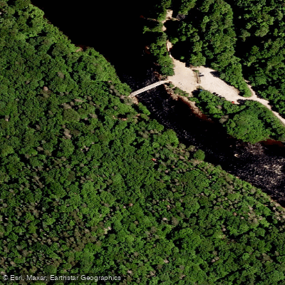
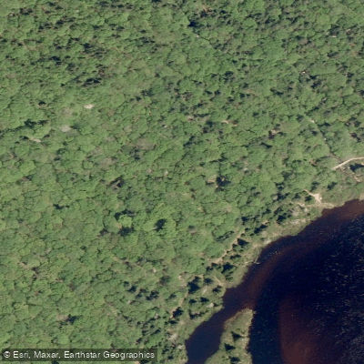
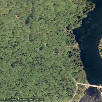
Learn how to get on Rivière Jacques-Cartier. Uncover great paddling access points, boat ramps, and all the facilities you need for an unforgettable day on the water. Some locations shown may border or include private property. Always check property boundaries and applicable regulations before visiting. PaddleWays's Public & Private Land layer can help you plan your access with confidence.
Paddle smarter with real-time insights
Whether you're en route and conditions shift or you're looking for the best spot based on current flows, we enable you to make informed decisions on the fly.







Qc licenses and regulations
No licenses or regulations available for Qc.
Find Places to Paddle

Over 400,000 Places to Paddle
Every user gets free access to launch points, boat ramps, and public property parcels.


Water and weather conditions (10 day forecast)
See the best times to paddle Rivière Jacques-Cartier and check the forecast before you go.
JACQUES-CARTIER (RIVIERE) EN AVAL DU PONT DU CHEMIN GOSFORD
Paddling near Rivière Jacques-Cartier
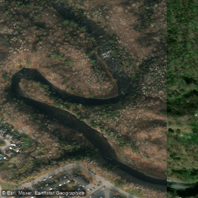
Rivière Saint-Charles

Estuaire fluvial du Saint-Laurent
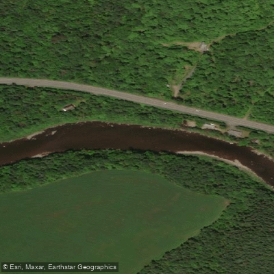
Rivière Etchemin
Rivière Montmorency
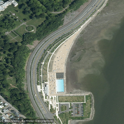
Plage Samuel de Champlain
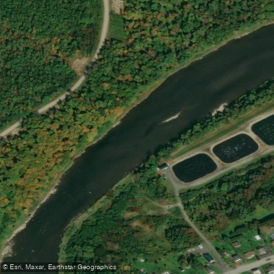
Rivière Chaudière
Rivière des Hurons
Battures de Beauport
Rivière Sainte-Anne
Explore Qc waters
Top paddling waters
No waters available right now.
Popular Cities
Loading popular cities...
Explore near Rivière Jacques-Cartier
Access points
Nearby waters
More in Qc

Smarter Paddling Starts in the App.
Paddleways gives you everything you need to plan smarter, paddle better, and own every trip from first launch to takeout.