Paddling in Kuururjuaq National Park
- National Park
- Lakes
- 9
- Rivers
- 6
- Access
- 0
- Boat Ramps
- 0
- Shops
- 0
Kuururjuaq sits at the top of Québec, a 4,460-square-kilometre park running from Ungava Bay south into the Torngat Mountains. The water here is glacier-fed, tundra-cold, and remote in a way that reframes what expedition paddling means.
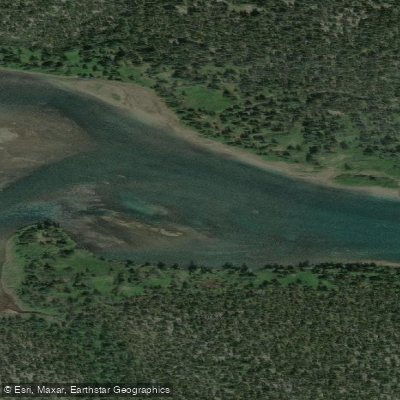
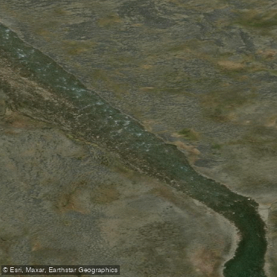
There are no road approaches. You fly in. The Koroc River is the park's defining water. It runs 160 kilometres from its headwaters in the Torngats down through a broad glacially carved valley to Ungava Bay, and it is the reason most paddlers come.
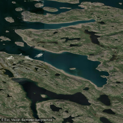
The turquoise colour of the water is real — not a photo filter — and the valley walls on either side make the scale of the place immediate.
The river carries Class I–II water accessible to intermediates and, with guidance, to novice paddlers, though the remoteness and variable water levels demand a skill set beyond what the rapid ratings alone suggest.
The guided expedition itinerary begins with a flight into the Kauvvik Valley, where paddlers assess conditions and gear before putting on.
The descent runs through the Torngat section first, where the mountains press close on both sides, before the valley opens toward the bay.
The park lists canoe-camping, recreational canoeing, recreational kayaking, sea kayaking, and whitewater kayaking among its water activities, and rents recreational canoes, recreational kayaks, sea kayaks, and whitewater kayaks on site.
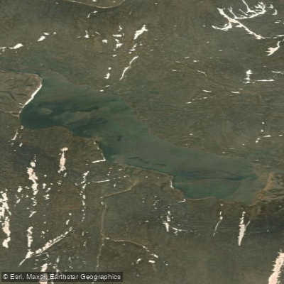
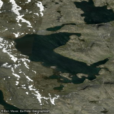
Lac Tasiguluk and the Rivière Baudoncourt are within the park's boundaries, though the Koroc is what the park's own programming centers on. A park permit is required.
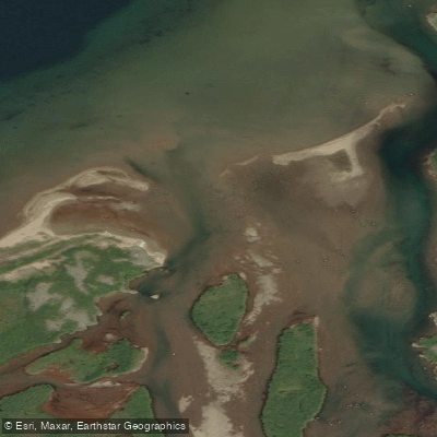
Booking through licensed outfitters is strongly recommended — not a bureaucratic formality, but a practical one given the logistics of fly-in access, bear country, and 12-metre tidal ranges at the Ungava Bay end of the river.
Check directly with Nunavik Parks for current permit requirements and conditions before planning any trip. The Koroc has been called a pilgrimage route for experienced paddlers, and that framing holds.
The tides, the insects, the absence of any bailout road, the Atlantic salmon runs — this is a river that asks something of you before it gives anything back. Plan accordingly, and plan early.
Top waters to paddle near Kuururjuaq National Park
Water and weather conditions (10 day forecast)
See the best times to paddle Kuururjuaq National Park and check the forecast before you go.
No forecast data available.
Paddle smarter with real-time insights
Whether you're en route and conditions shift or you're looking for the best spot based on current flows, we enable you to make informed decisions on the fly.







Paddling near Kuururjuaq National Park
Loading...
Gateway towns
Where to base yourself for paddling in Kuururjuaq National Park.
- KangiqsualujjuaqNunavik, QC
The sole gateway community; all park trips start and finish here, with local outfitters, guides, and flights into the park.
Explore Kuururjuaq National Park
Top paddling waters
Popular Cities
Loading popular cities...

Smarter Paddling Starts in the App.
Paddleways gives you everything you need to plan smarter, paddle better, and own every trip from first launch to takeout.