Baie Tasiujaaluk
- Saltwater
- Bay
Baie Tasiujaaluk
- Saltwater
- Bay
- Sq. miles
- 15
- Boat Ramps
- 0
- Access Points
- 0
- Campsites
- 0
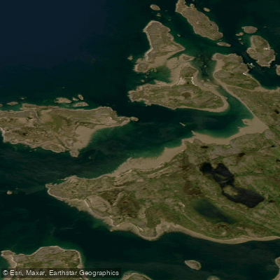
Baie Tasiujaaluk, also known as Leaf Basin, is a vast coastal bay system in Nunavik, Quebec, characterized by its extreme tidal range. The tides in the basin regularly exceed 15 meters, which is the single most critical factor for paddlers to plan around. This immense tidal exchange governs all access, currents, and hazards. The northern village of Tasiujaq is situated on the shores of Leaf Lake at the head of Deep Harbour, providing a potential access point. The area lies just north of the tree line in a transition zone from shrub tundra to arctic tundra. A low tide harbour exists on Rowe Island, approximately five kilometres north of the village, which may serve as an alternative launch or take-out site, but its usability is entirely dictated by the tide stage.
The paddling environment is exposed and remote, with the basin consisting of interconnected areas: Leaf Lake, Leaf Passage, and Leaf Bay. The high, powerful tides will create strong currents, especially through the narrower passages, requiring careful timing to paddle with the tidal flow. Wind exposure across the open water can be significant, and the surrounding landscape of sedimentary and metamorphic bedrock creates cliffs and islands. The region is ecologically rich, with frequent sightings of marine mammals like seals and belugas, and many seabirds. Gyrfalcons and peregrine falcons nest on the islands and cliffs. The area is also known for Arctic char and Atlantic salmon. Paddlers should be fully self-sufficient, as there are no indicated facilities or amenities specifically for boaters beyond the community infrastructure of Tasiujaq. The area marks the final destination for canoeists descending the Leaf River.
Water access, boat ramps & amenities
Learn how to get on Baie Tasiujaaluk. Uncover great paddling access points, boat ramps, and all the facilities you need for an unforgettable day on the water. Some locations shown may border or include private property. Always check property boundaries and applicable regulations before visiting. PaddleWays's Public & Private Land layer can help you plan your access with confidence.
Paddle smarter with real-time insights
Whether you're en route and conditions shift or you're looking for the best spot based on current flows, we enable you to make informed decisions on the fly.







Qc licenses and regulations
No licenses or regulations available for Qc.
Find Places to Paddle

Over 400,000 Places to Paddle
Every user gets free access to launch points, boat ramps, and public property parcels.


Tides, wind & water conditions (10 day forecast)
On open water, wind and tide matter as much as the weather. See the best times to paddle Baie Tasiujaaluk and check the marine forecast before you launch.
Loading tide predictions…
Paddling near Baie Tasiujaaluk
Frobisher Bay
Koojesse Inlet
Peterhead Inlet
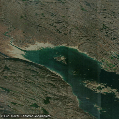
Foul Inlet
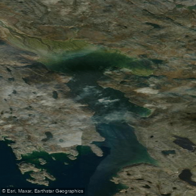
ᑕᓯᐅᔭᕐᔪᐊᓛᖅ Burton Bay
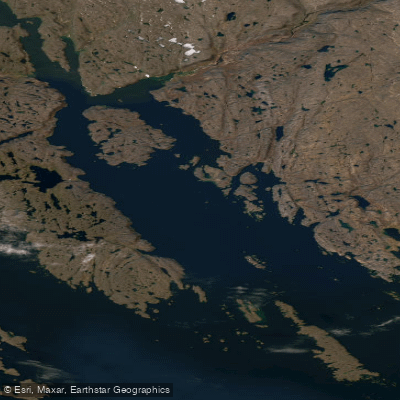
Ward Inlet
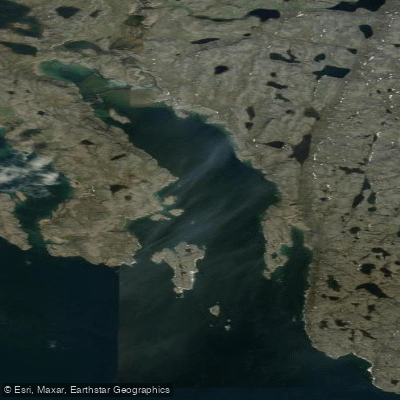
ᐱᑦᓯᐅᑉ ᑲᖏᖅᑐᖓ Lewis Bay
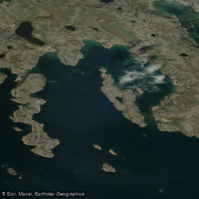
Porter Inlet
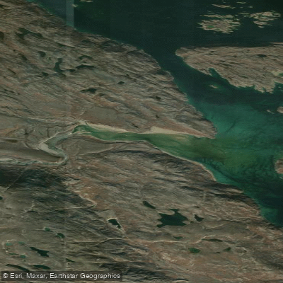
Bay of Two Rivers
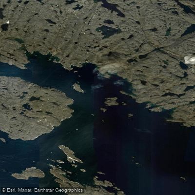
Wayne Bay
Explore Qc waters
Top paddling waters
No waters available right now.
Popular Cities
Loading popular cities...
Explore near Baie Tasiujaaluk

Smarter Paddling Starts in the App.
Paddleways gives you everything you need to plan smarter, paddle better, and own every trip from first launch to takeout.