Rivière Koroc
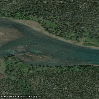
Rivière Koroc
- Boat Ramps
- 0
- Access Points
- 0
- Campsites
- 0
The Rivière Koroc rises in the Torngat Mountains near the Quebec-Labrador border, running approximately 100 kilometres westward before emptying into Ungava Bay near the Inuit community of Kangiqsualujjuaq (George River). The river descends from an elevation of roughly 1.7 kilometres, flowing through a wide glacially carved valley bounded by rolling hills to the south and sharp, rugged peaks to the north and northeast. The water is notably clear, with visibility reported at 10 to 15 feet in calm conditions, and carries a distinctive turquoise colour through much of its course.
The river presents Class III and Class IV rapids, making it suitable for intermediate paddlers confident in Class III whitewater and with canoe tripping experience. Novice paddlers can participate in guided settings with appropriate support. The upper section near the headwaters can involve shallow, rock-strewn stretches requiring dragging and lining loaded canoes before reaching navigable water. Korluktok Falls is a significant hazard requiring a portage. Paddlers should be prepared for highly variable water levels and a range of river conditions throughout the descent.
Access to the put-in is by air — helicopter or Twin Otter from Kuujjuaq takes approximately 1.5 hours, or roughly 45 minutes from the Torngat Mountains base camp — landing at a gravel airstrip in the Koroc River valley. The takeout is at Kangiqsualujjuaq on Ungava Bay. The remoteness of the route demands full self-sufficiency; the nearest settlement is the end destination itself. Camping is on the river bank throughout the descent.
The river corridor passes through Parc national Kuururjuaq, and while hunting and trapping are prohibited within the park boundaries, Inuit have the right to practise subsistence activities throughout Nunavik, including within the park. The Koroc and Palmer River valleys are traditional Inuit travel routes connecting communities on the Labrador coast with those on Ungava Bay.
Wildlife and dramatic mountain scenery frame the entire descent. As paddlers approach the mouth, the river broadens and shallows, and the influence of Ungava Bay becomes apparent. Guided expeditions of approximately 8 days are offered by Nunavik Parks, with options to paddle by kayak, inflatable canoe, or raft.
Water access, boat ramps & amenities
Learn how to get on Rivière Koroc. Uncover great paddling access points, boat ramps, and all the facilities you need for an unforgettable day on the water. Some locations shown may border or include private property. Always check property boundaries and applicable regulations before visiting. PaddleWays's Public & Private Land layer can help you plan your access with confidence.
Paddle smarter with real-time insights
Whether you're en route and conditions shift or you're looking for the best spot based on current flows, we enable you to make informed decisions on the fly.







Qc licenses and regulations
No licenses or regulations available for Qc.
Find Places to Paddle

Over 400,000 Places to Paddle
Every user gets free access to launch points, boat ramps, and public property parcels.


Water and weather conditions (10 day forecast)
See the best times to paddle Rivière Koroc and check the forecast before you go.
No forecast data available.
Paddling near Rivière Koroc
Frobisher Bay
Koojesse Inlet
Peterhead Inlet
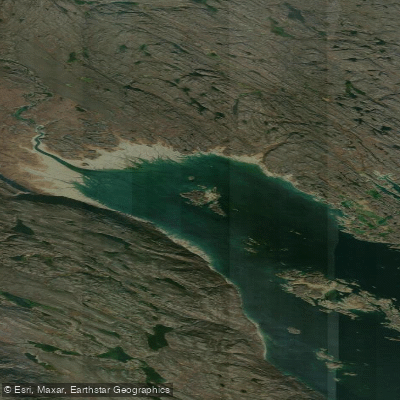
Foul Inlet
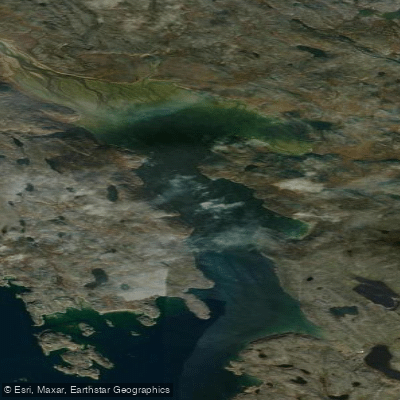
ᑕᓯᐅᔭᕐᔪᐊᓛᖅ Burton Bay
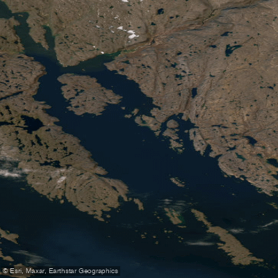
Ward Inlet
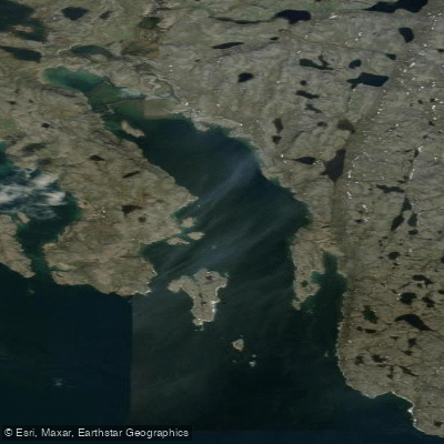
ᐱᑦᓯᐅᑉ ᑲᖏᖅᑐᖓ Lewis Bay
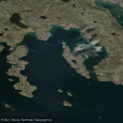
Porter Inlet
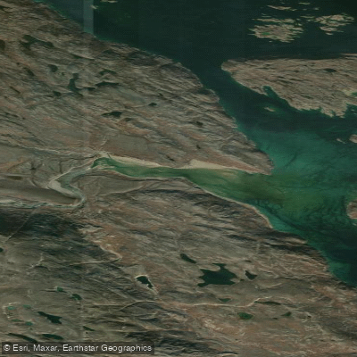
Bay of Two Rivers
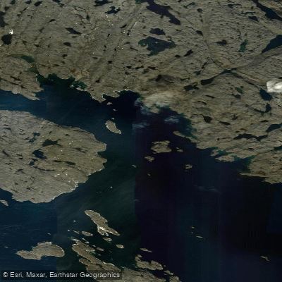
Wayne Bay
Explore Qc waters
Top paddling waters
No waters available right now.
Popular Cities
Loading popular cities...
Explore near Rivière Koroc

Smarter Paddling Starts in the App.
Paddleways gives you everything you need to plan smarter, paddle better, and own every trip from first launch to takeout.