Baie Qarlituranga
- Saltwater
- Bay
Baie Qarlituranga
- Saltwater
- Bay
- Sq. miles
- 9.4
- Boat Ramps
- 0
- Access Points
- 0
- Campsites
- 0
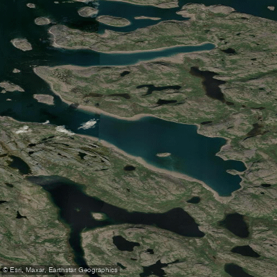
Baie Qarlituranga is a remote coastal bay in the Kativik region of Nunavik, Canada, situated within the Kuururjuaq National Park. The bay is located on the eastern shore of Ungava Bay, near the community of Kangiqsualujjuaq, which is approximately 15 kilometers away and serves as the primary access point for the region via daily flights with Air Inuit. The area is characterized by its raw, untamed Arctic environment. A significant and critical safety consideration for any paddler is the confirmed presence of polar bears along this coastline, specifically abundant in Baie Qarlituranga and the nearby Anse Tasiujakuluk. Due to this extreme hazard, visitors, including paddlers, are required to be accompanied by armed Inuit guides. The climate is capricious and deadly even in summer, with sudden, severe weather changes posing a constant risk. The bay experiences significant tidal fluctuations, with a recorded low tide height of -0.35 meters below chart datum, indicating a substantial tidal range. The water body is directly exposed to the open waters of Ungava Bay, leading to potentially high wind exposure and significant fetch. The cultural context is deeply Inuk, with the local community of Kangiqsualujjuaq being an authentic Inuit settlement, and the area holds cultural legends like that of Annanack. There are no specific paddler facilities, launches, or designated routes; access and logistics would be complex expeditions requiring local guiding expertise. The overall character is one of a profound wilderness expedition for highly experienced and prepared paddlers operating under strict safety protocols.
Water access, boat ramps & amenities
Learn how to get on Baie Qarlituranga. Uncover great paddling access points, boat ramps, and all the facilities you need for an unforgettable day on the water. Some locations shown may border or include private property. Always check property boundaries and applicable regulations before visiting. PaddleWays's Public & Private Land layer can help you plan your access with confidence.
Paddle smarter with real-time insights
Whether you're en route and conditions shift or you're looking for the best spot based on current flows, we enable you to make informed decisions on the fly.







Qc licenses and regulations
No licenses or regulations available for Qc.
Find Places to Paddle

Over 400,000 Places to Paddle
Every user gets free access to launch points, boat ramps, and public property parcels.


Tides, wind & water conditions (10 day forecast)
On open water, wind and tide matter as much as the weather. See the best times to paddle Baie Qarlituranga and check the marine forecast before you launch.
Loading tide predictions…
Paddling near Baie Qarlituranga
Frobisher Bay
Koojesse Inlet
Peterhead Inlet
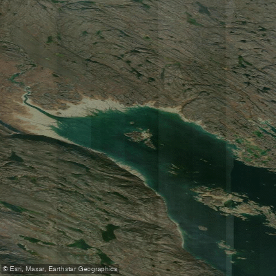
Foul Inlet
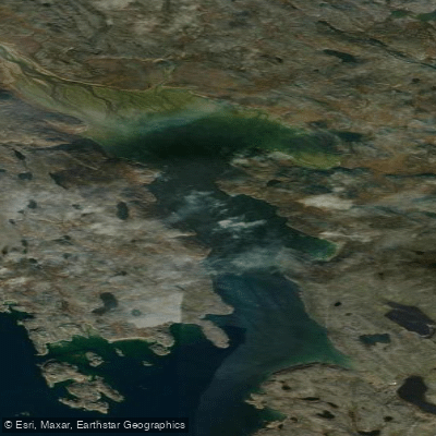
ᑕᓯᐅᔭᕐᔪᐊᓛᖅ Burton Bay
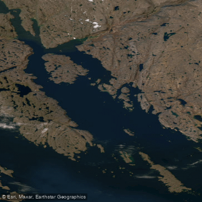
Ward Inlet
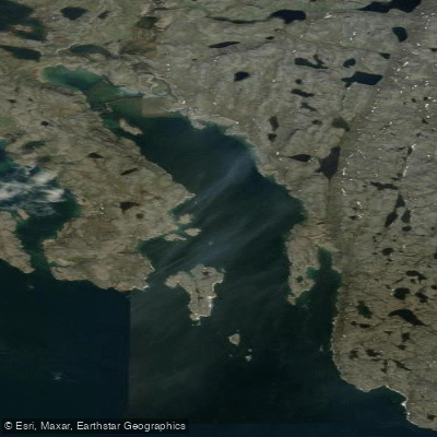
ᐱᑦᓯᐅᑉ ᑲᖏᖅᑐᖓ Lewis Bay
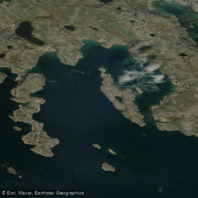
Porter Inlet
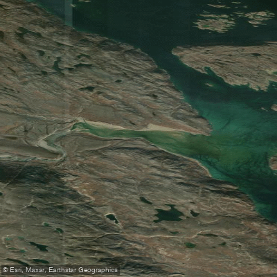
Bay of Two Rivers
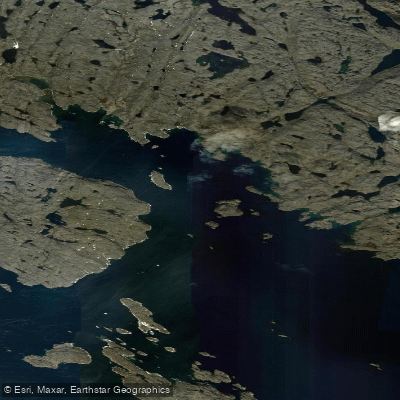
Wayne Bay
Explore Qc waters
Top paddling waters
No waters available right now.
Popular Cities
Loading popular cities...
Explore near Baie Qarlituranga

Smarter Paddling Starts in the App.
Paddleways gives you everything you need to plan smarter, paddle better, and own every trip from first launch to takeout.