Paddling in Mont-Tremblant National Park
- National Park
- Lakes
- 408
- Rivers
- 24
- Access
- 0
- Boat Ramps
- 0
- Shops
- 0
Mont-Tremblant National Park sits in the Laurentians of Quebec, a landscape shaped by glacial lakes and rivers draining through forested hills.
The park holds around 400 lakes and streams alongside several significant rivers, and the paddling divides cleanly between flatwater lake touring and moving-water river descents. The Rivière du Diable is the park's central paddling corridor.
A self-guided canoe descent covers roughly 12 km of meandering river, making it accessible to paddlers who want current without committing to technical whitewater.
Rentals and shuttle logistics are available through park-affiliated operators, and SEPAQ manages the on-water experience directly. The Rivière L'Assomption anchors the park's third sector and extends the river paddling options beyond the Diable watershed.
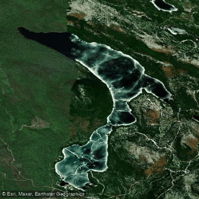
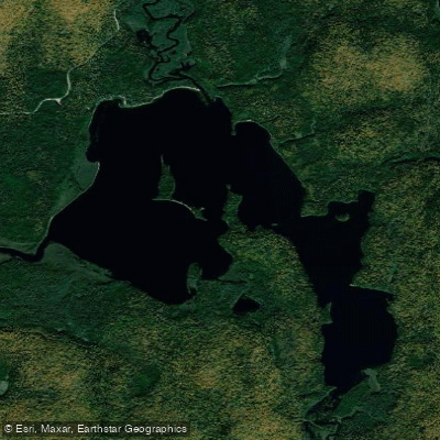
On the lake side, Lac Monroe, Lac Provost, Lac Forbes, Lac de la Savane, and Lac Escalier are among the waters that reward canoe and kayak touring. Lac Provost sits within the Pimbina sector, where a serviced beach provides a natural staging point.
These lakes reward unhurried paddling — the kind where you're watching for loons rather than reading lines.
One rule shapes the experience across nearly all of the park's lakes: electric motors have been prohibited since 2022, and gas motors were already gone before that. Only personal canoes and kayaks are permitted.
That means the water stays quiet, which matters both for wildlife and for the quality of the paddle itself. Check with SEPAQ for current access requirements before launching — the park manages its own permitting and conditions.
The Rivière Rouge runs outside the park boundary but draws paddlers who are already in the region and want moving water with more character than the Diable descent provides. Mont-Tremblant rewards paddlers who slow down.
The motor ban isn't an inconvenience — it's the reason the lakes feel the way they do.
Top waters to paddle near Mont Tremblant National Park
Water and weather conditions (10 day forecast)
See the best times to paddle Mont-Tremblant National Park and check the forecast before you go.
No forecast data available.
Paddle smarter with real-time insights
Whether you're en route and conditions shift or you're looking for the best spot based on current flows, we enable you to make informed decisions on the fly.







Paddling near Mont-Tremblant National Park
Loading...
Gateway towns
Where to base yourself for paddling in Mont-Tremblant National Park.
- Mont-TremblantQC
The nearest town to the park's main entrance, with guides, outfitters, shuttles, and the widest range of lodging.
- Saint-DonatQC
Sits at the park's southern boundary and serves as a base for the Lanaudière-side entrances.
- Lac-SupérieurQC
Small village just outside the park with a local market and café used by visitors heading to the main sector.
Explore Mont-Tremblant National Park
Top paddling waters
Popular Cities
Loading popular cities...

Smarter Paddling Starts in the App.
Paddleways gives you everything you need to plan smarter, paddle better, and own every trip from first launch to takeout.