Rivière du Diable
Rivière du Diable
- Boat Ramps
- 0
- Access Points
- 0
- Campsites
- 5
The Rivière du Diable flows north to south through the western portion of Mont-Tremblant National Park in Quebec's Laurentian Mountains, covering nearly 82 km from Lac du Diable in Matawinie to the Rouge River south of Mont-Tremblant. It is the park's most popular paddling route, offering a mix of calm meanders, peaceful lakes, and class I–II rapids framed by forested summits and sheer rock faces.
The upper section begins at Lac-aux-Herbes and runs approximately 26 km, featuring 14 rapids that experienced paddlers can run at most water levels, with short portages available to bypass whitewater. This stretch can be completed in a full day or broken into an overnight trip, with more than 80 campsites distributed along the river. Paddlers wishing to extend beyond the upper section take-out at Lac Laplante must shuttle around a 7-km section of unrunnable rapids and falls, putting in below Chutes Croches. From there, an additional 21 km continues through Lac Monroe and Lac Chat, with class I–III rapids and further camping options before reaching the take-out at the Diable Sector entrance.
A popular shorter option runs 12 km between Lac Chat and Mont de la Vache Noire, taking roughly 4 hours. This section begins with class I rapids and transitions into slow, meandering water passing silver maple forests, sandy beaches, and the rock face of Mont de la Vache Noire. An 8 km rental option and an 18 km full-day option are also available through local outfitters, both featuring class I rapids. A 5 km downstream stretch from certain outfitter docks offers the calmest conditions on the river.
Several outfitters serve the river, including À L'Abordage (located at 1340 Rue Saint-Jovite, Mont-Tremblant, available June to September with reservations strongly recommended) and Rouge-Diable, which offers single and double kayak, canoe, and SUP rentals with shuttle service. The park's own rental centers offer canoes, touring kayaks, and SUPs, along with a self-guided 4-hour package including equipment and shuttle. D-Tour Tremblant provides guided half-day descents for beginners. Access points exist near bridges and picnic areas along the river. All participants must be able to swim, and minors must be accompanied by an adult.
Water access, boat ramps & amenities
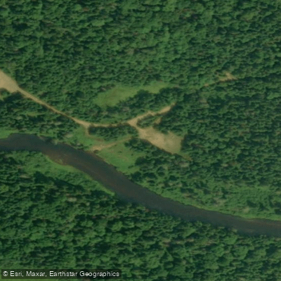
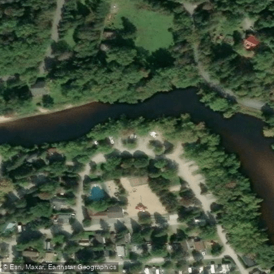
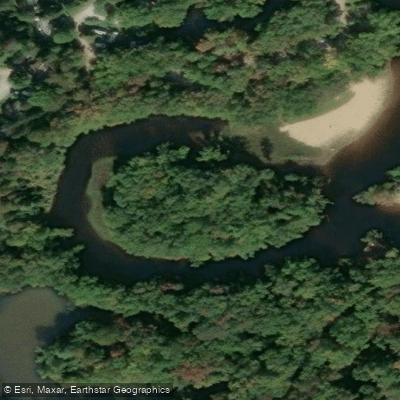
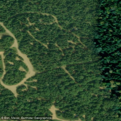
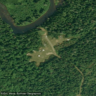
Learn how to get on Rivière du Diable. Uncover great paddling access points, boat ramps, and all the facilities you need for an unforgettable day on the water. Some locations shown may border or include private property. Always check property boundaries and applicable regulations before visiting. PaddleWays's Public & Private Land layer can help you plan your access with confidence.
Paddle smarter with real-time insights
Whether you're en route and conditions shift or you're looking for the best spot based on current flows, we enable you to make informed decisions on the fly.







Qc licenses and regulations
No licenses or regulations available for Qc.
Find Places to Paddle

Over 400,000 Places to Paddle
Every user gets free access to launch points, boat ramps, and public property parcels.


Water and weather conditions (10 day forecast)
See the best times to paddle Rivière du Diable and check the forecast before you go.
DU DIABLE (RIVIERE) A 0.1KM EN AMONT DE LA ROUTE 117
Paddling near Rivière du Diable
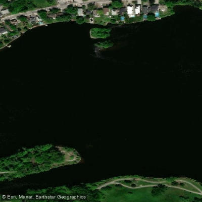
Rivière des Prairies
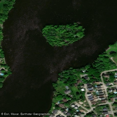
Rivière des Mille Îles
Plage Lajeunesse
Fleuve Saint-Laurent

Ottawa River
Plage de l'Horloge
Rivière de la Tortue
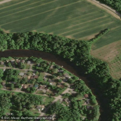
Rivière L'Assomption
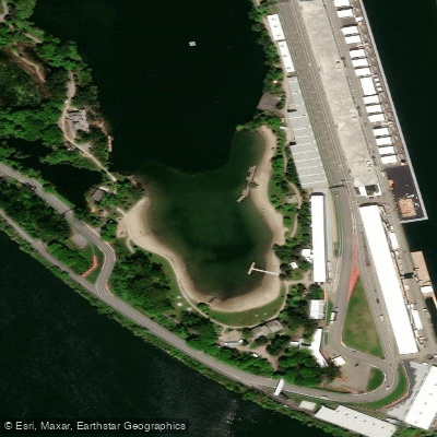
Plage Jean-Doré
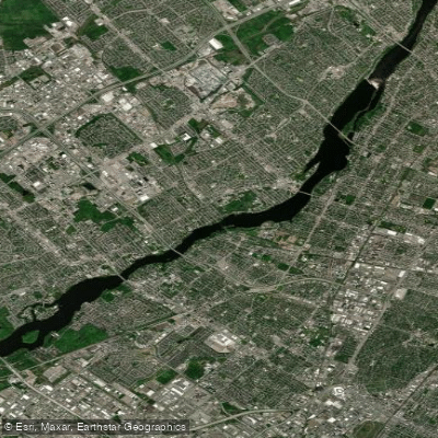
Rivière des Prairies
Explore Qc waters
Top paddling waters
No waters available right now.
Popular Cities
Loading popular cities...
Explore near Rivière du Diable
Access points
Nearby waters
More in Qc

Smarter Paddling Starts in the App.
Paddleways gives you everything you need to plan smarter, paddle better, and own every trip from first launch to takeout.