Rivière L'Assomption
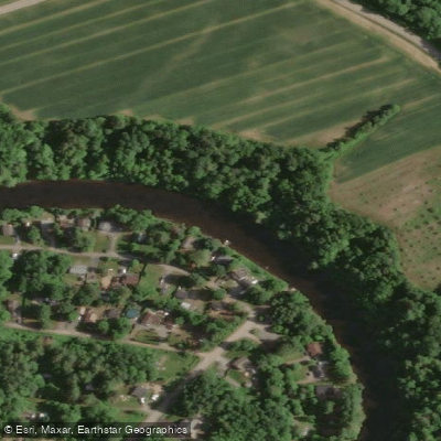
Rivière L'Assomption
- Boat Ramps
- 0
- Access Points
- 0
- Campsites
- 10
Rivière L'Assomption is one of the most significant rivers in the Lanaudière region of Quebec, stretching over 120 miles in length. It originates at Lac L'Assomption near Mont-Tremblant and flows southward, eventually emptying into the St. Lawrence River near the town of Repentigny. The river passes through a mix of rural and urban landscapes, transitioning from the Canadian Shield in its upper reaches — characterized by waterfalls, rapids, and exposed bedrock — to a slower, more meandering lower section as it approaches the St. Lawrence.
The upper portions of the river, particularly around Saint-Côme, offer whitewater paddling with Class 2–3 rapids and are well-suited to paddlers looking to develop technical skills. Instruction through the Quebec Federation is available on various sections, allowing paddlers to progress through different skill levels. The water in the Saint-Côme area is notably clear and translucent. The lower river takes on a different character, with a slow current and winding course that suits relaxed flatwater paddling.
A well-established 12 km canoe circuit operates out of the city of L'Assomption, departing from Parc Léo-Jacques (257, boulevard Barret), with a shuttle service transporting paddlers to the put-in at the Saint-Gérard-Majella sector. Canoe, single and double kayak, and paddleboard rentals are available through this circuit. A separate 6 km guided descent is offered by Au Canot Volant in the Saint-Côme area, catering to families, beginners, and those seeking a shorter outing.
Water quality varies along the river's length. Swimming is considered acceptable in the urban stretch near Parc Léo-Jacques, but water quality downstream near Repentigny does not meet swimming standards. Anglers frequent the river for channel catfish, smallmouth bass, walleye, yellow perch, lake sturgeon, and mooneye.
A speed restriction of 25 km/h applies to motorized vessels on a section of the river between coordinates 46°01′73°27′ and 46°03′73°28′, which is relevant for paddlers sharing the water with powerboats. The river is recognized as a classic paddling destination in Quebec, with canoe-tripping routes documented by Canot Kayak Québec and Eau Vive Québec.
Water access, boat ramps & amenities
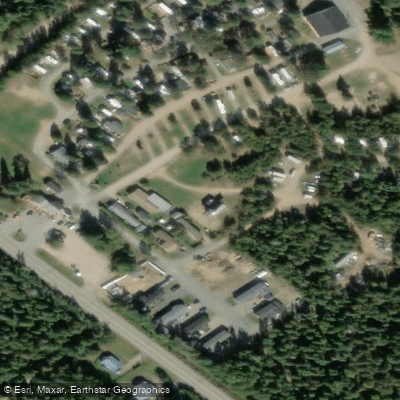
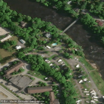
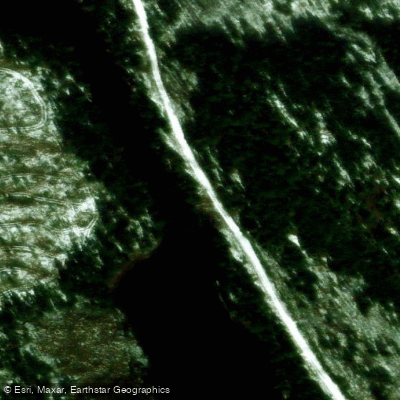
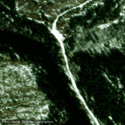
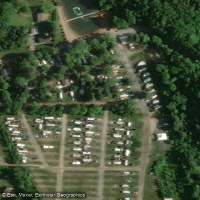
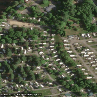
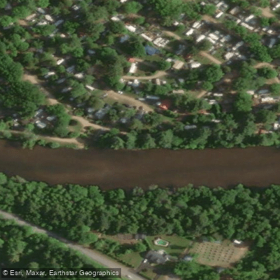
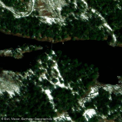
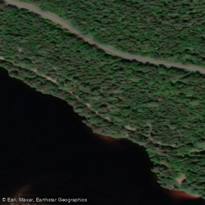
Learn how to get on Rivière L'Assomption. Uncover great paddling access points, boat ramps, and all the facilities you need for an unforgettable day on the water. Some locations shown may border or include private property. Always check property boundaries and applicable regulations before visiting. PaddleWays's Public & Private Land layer can help you plan your access with confidence.
Paddle smarter with real-time insights
Whether you're en route and conditions shift or you're looking for the best spot based on current flows, we enable you to make informed decisions on the fly.







Qc licenses and regulations
No licenses or regulations available for Qc.
Find Places to Paddle

Over 400,000 Places to Paddle
Every user gets free access to launch points, boat ramps, and public property parcels.


Water and weather conditions (10 day forecast)
See the best times to paddle Rivière L'Assomption and check the forecast before you go.
L'ASSOMPTION (RIVIERE) AU PONT-ROUTE 158 A JOLIETTE
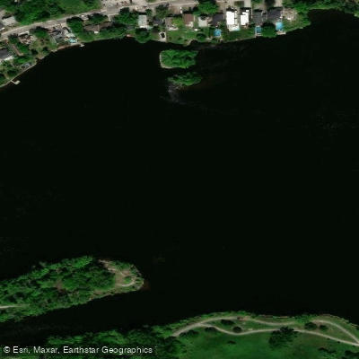
Paddling near Rivière L'Assomption
Rivière des Prairies
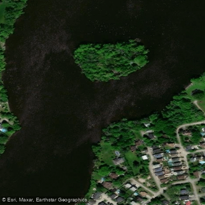
Rivière des Mille Îles
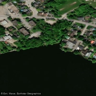
Plage Lajeunesse
Fleuve Saint-Laurent

Ottawa River
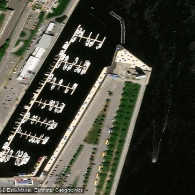
Plage de l'Horloge
Rivière de la Tortue
Plage Jean-Doré
Rivière des Prairies
Explore Qc waters
Top paddling waters
No waters available right now.
Popular Cities
Loading popular cities...
Explore near Rivière L'Assomption
Access points
Nearby waters
More in Qc

Smarter Paddling Starts in the App.
Paddleways gives you everything you need to plan smarter, paddle better, and own every trip from first launch to takeout.