Rivière Macaza
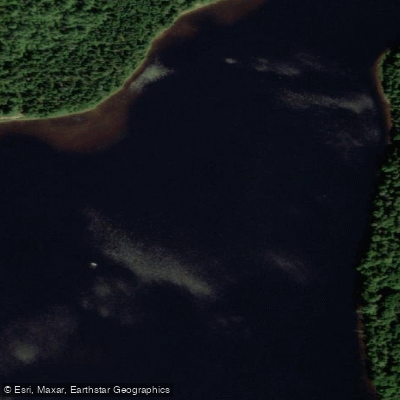
Rivière Macaza
- Boat Ramps
- 0
- Access Points
- 0
- Campsites
- 0
The Rivière Macaza originates at Lac Cinq-Doigts in the Rouge-Matawin Wildlife Reserve, high in the Laurentians, and flows approximately 27 km south before joining the Rouge River near the village of La Macaza. Along its course, the river widens three times to form Lac Sucreries, Lac Sapin, and Lac Macaza, giving the route a varied character that alternates between open lake paddling and moving water.
Between the lakes, paddlers encounter class II-III rapids with occasional class IV sections, making the river best suited to kayakers with intermediate to advanced whitewater skills. The mix of rapid grades means that trip planning should account for scouting and portaging options, particularly around the class IV drops.
The upper reaches between Lac Cinq-Doigts and Lac Sucreries are undeveloped, offering the most remote paddling experience on the river. This section and the lakes themselves are noted as the best areas for camping. The Rouge-Matawin Wildlife Reserve, through which the upper river runs, provides a broader network of camping options: the Lac-des-Sucreries campground near the main reserve entrance at La Macaza offers 40 semi-serviced sites, and seven additional rustic camping areas are distributed throughout the reserve, each situated on a lake or river.
Near the confluence of the Rivière Macaza and the Rouge River at La Macaza stands a covered bridge dating to 1904, the only remaining covered bridge in the Rouge valley. It is a notable landmark at or near the takeout point for a full river run.
The Rouge-Matawin Wildlife Reserve context suggests the surrounding landscape is characterized by rugged mountain and lake terrain typical of the Laurentians north of Parc National du Mont-Tremblant. The river's relatively short length and defined lake-to-lake structure make it well suited to multi-day trips, with the upper section offering the most wilderness character and the lower reaches providing access to semi-serviced facilities.
Water access, boat ramps & amenities
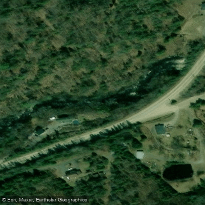
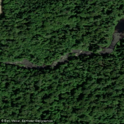
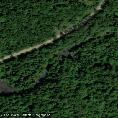
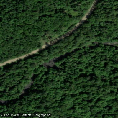
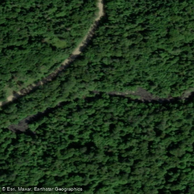
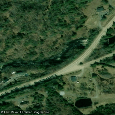
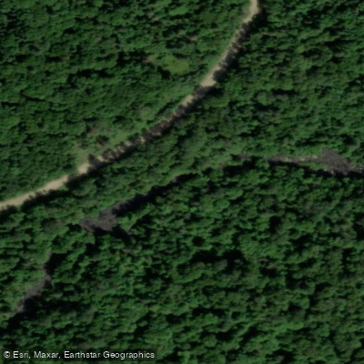
Learn how to get on Rivière Macaza. Uncover great paddling access points, boat ramps, and all the facilities you need for an unforgettable day on the water. Some locations shown may border or include private property. Always check property boundaries and applicable regulations before visiting. PaddleWays's Public & Private Land layer can help you plan your access with confidence.
Paddle smarter with real-time insights
Whether you're en route and conditions shift or you're looking for the best spot based on current flows, we enable you to make informed decisions on the fly.







Qc licenses and regulations
No licenses or regulations available for Qc.
Find Places to Paddle

Over 400,000 Places to Paddle
Every user gets free access to launch points, boat ramps, and public property parcels.


Water and weather conditions (10 day forecast)
See the best times to paddle Rivière Macaza and check the forecast before you go.
No forecast data available.
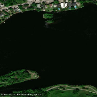
Paddling near Rivière Macaza
Rivière des Prairies
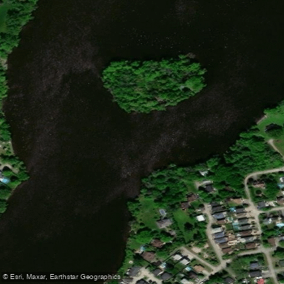
Rivière des Mille Îles
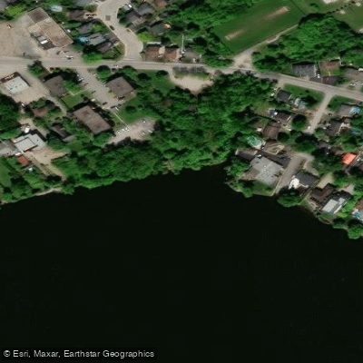
Plage Lajeunesse
Fleuve Saint-Laurent

Ottawa River
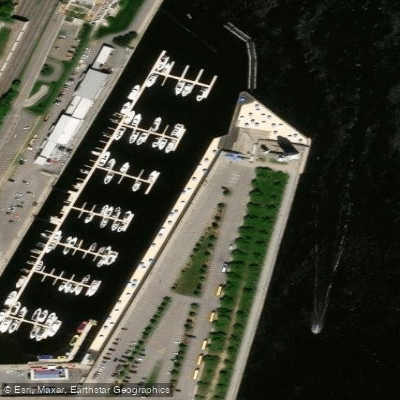
Plage de l'Horloge
Rivière de la Tortue
Rivière L'Assomption
Plage Jean-Doré
Rivière des Prairies
Explore Qc waters
Top paddling waters
No waters available right now.
Popular Cities
Loading popular cities...
Explore near Rivière Macaza

Smarter Paddling Starts in the App.
Paddleways gives you everything you need to plan smarter, paddle better, and own every trip from first launch to takeout.