Paddling in Quttinirpaaq National Park
- National Park
- Lakes
- 28
- Rivers
- 41
- Access
- 0
- Boat Ramps
- 0
- Shops
- 0
Quttinirpaaq sits at the northern tip of Ellesmere Island in Nunavut, roughly 720 kilometres from the North Pole — one of the most remote stretches of Arctic terrain on the planet.
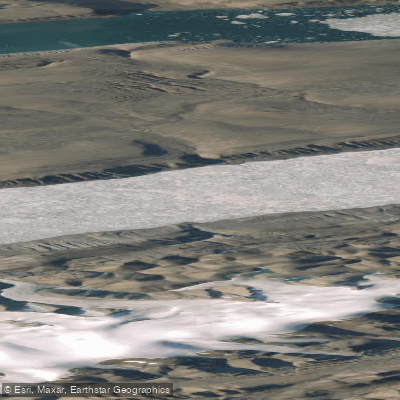
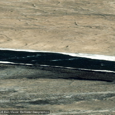
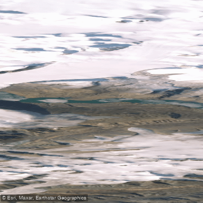
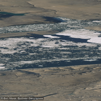
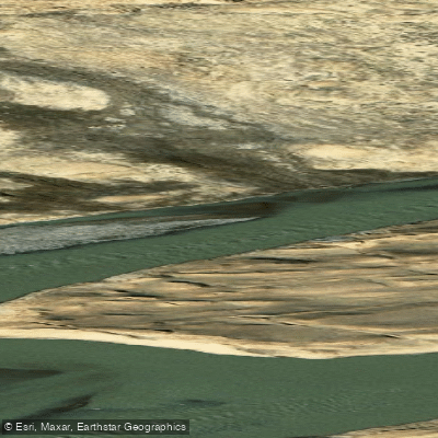
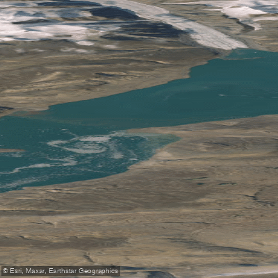
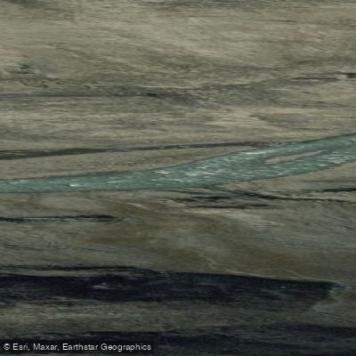
The water here is glacial in origin and character: rivers fed by icecaps, lakes locked under ice for most of the year, and fiords that define the access points into the park's interior. This is expedition paddling in the fullest sense, not day-trip country.
The park is most accessible from May to August, when chartered aircraft — typically a Twin Otter out of Resolute Bay — delivers visitors to one of two main entry points: Tanquary Fiord or Lake Hazen.
Both are warden station locations, and both anchor any serious route planning in the park. The Ruggles River connects Lake Hazen to Tanquary Fiord and is the natural paddling corridor between these two hubs.
Water levels and ice conditions on that route vary significantly with the season and the year. Before you go anywhere on the water, Parks Canada requires mandatory registration and an orientation session.
That briefing covers current route conditions, water levels, area closures, polar bear activity, and park regulations — information that is genuinely operational at this latitude, not procedural box-checking. You must also de-register when you exit.
If your route crosses Inuit-owned land, separate permission from the Qikiqtani Inuit Association is required. Facilities inside the park are limited to the warden stations.
Everything else — rescue, resupply, weather shelter — you carry or arrange before the charter drops you off. Visitors are expected to be experienced and fully self-reliant. At roughly 37,775 km², the park recorded only 7 visitors in the 2022–23 season.
The water is real, the distances are real, and the margin for error is thin. Contact the park well in advance. The orientation isn't optional, and the logistics window is short.
Top waters to paddle near Quttinirpaaq National Park
Water and weather conditions (10 day forecast)
See the best times to paddle Quttinirpaaq National Park and check the forecast before you go.
No forecast data available.
Paddle smarter with real-time insights
Whether you're en route and conditions shift or you're looking for the best spot based on current flows, we enable you to make informed decisions on the fly.







Paddling near Quttinirpaaq National Park
Loading...
Gateway towns
Where to base yourself for paddling in Quttinirpaaq National Park.
- Resolute BayNunavut
The main staging point for the park, with lodging, outfitters, and charter flights into Tanquary Fiord and Lake Hazen.
- Grise FiordNunavut
Canada's most northerly community, offering lodging and serving as a secondary base for visitors approaching from Ellesmere Island's south shore.
Explore Quttinirpaaq National Park
Top paddling waters
Popular Cities
Loading popular cities...

Smarter Paddling Starts in the App.
Paddleways gives you everything you need to plan smarter, paddle better, and own every trip from first launch to takeout.