Ruggles River
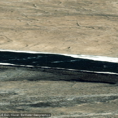
Ruggles River
- Boat Ramps
- 0
- Access Points
- 0
- Campsites
- 0
The Ruggles River is located on the northeastern section of Ellesmere Island within Quttinirpaaq National Park in Nunavut, at approximately 82° North latitude. It is widely regarded as the most northerly canoeable river in the world. The river serves as the sole outflow of Lake Hazen, a 74-kilometre-long lake covering 537 square kilometres, which is the world's largest lake by volume above the Arctic Circle. From the eastern end of Lake Hazen, the Ruggles runs approximately 15 kilometres, descending roughly 150 metres (around 500 feet) in elevation before emptying into Chandler Fiord and ultimately into Lady Franklin Bay and Robeson Channel, the strait separating Canada from the northern tip of Greenland.
The river is described as quite shallow and generally canoeable, though conditions can change dramatically. Despite remaining partially open year-round in most years, it can freeze solid mid-trip during colder periods, making it essential to plan for the possibility of impassable ice. Lake Hazen itself is typically frozen on arrival, and paddlers have had to drag loaded canoes 10–12 kilometres across what is described as cathedral ice to reach the river's source. The river drops steadily in elevation between its source and mouth, contributing to its runnable character.
Access to the area is by charter aircraft, with Twin Otter planes landing on the north shore of Lake Hazen near a Parks Canada Warden Station that provides all-weather shelters. The closest settlement is Tanquary Fiord. The entire route lies within Quttinirpaaq National Park, and Parks Canada maintains a presence in the area, including helicopter patrols. Given the extreme remoteness, groups have relied on chartered helicopter evacuations when weather conditions deteriorated, underscoring the need for contingency planning and communication equipment such as shortwave radio.
The river drains a catchment of approximately 4,900 square kilometres fed primarily by neighbouring glaciers. Arctic char are present in the watershed. Beyond the river mouth, paddlers have historically continued along the coast toward Fort Conger, though sea ice and severe weather in Robeson Channel can make coastal travel extremely hazardous. The environment is unambiguously Arctic: expect howling winds, rain, and snow flurries at any point during the paddling season.
Water access, boat ramps & amenities
Learn how to get on Ruggles River. Uncover great paddling access points, boat ramps, and all the facilities you need for an unforgettable day on the water. Some locations shown may border or include private property. Always check property boundaries and applicable regulations before visiting. PaddleWays's Public & Private Land layer can help you plan your access with confidence.
Paddle smarter with real-time insights
Whether you're en route and conditions shift or you're looking for the best spot based on current flows, we enable you to make informed decisions on the fly.








Find Places to Paddle

Over 400,000 Places to Paddle
Every user gets free access to launch points, boat ramps, and public property parcels.


Water and weather conditions (10 day forecast)
See the best times to paddle Ruggles River and check the forecast before you go.
RUGGLES RIVER AT OUTLET LAKE HAZEN
Paddling near Ruggles River
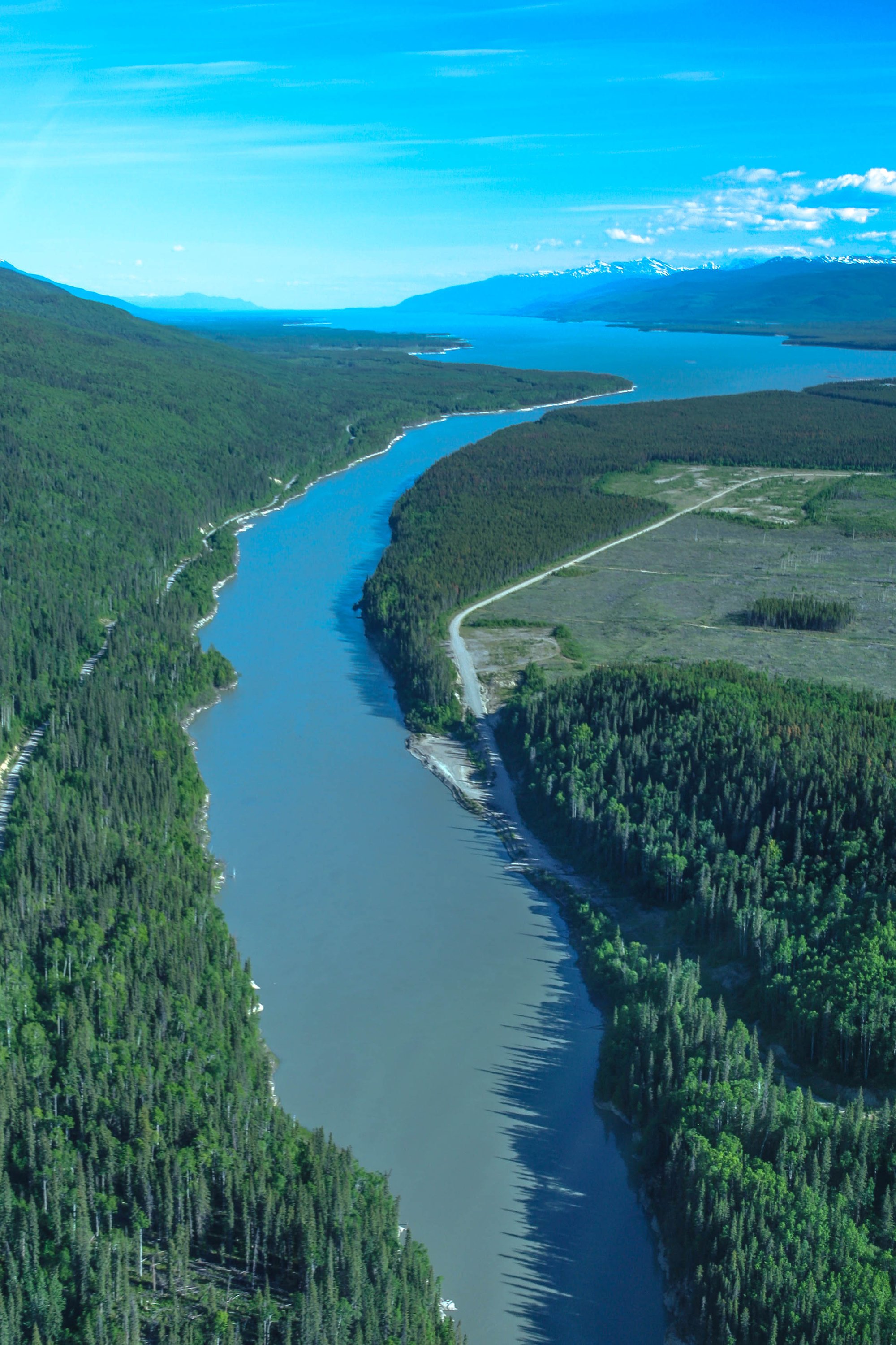
Williston Lake
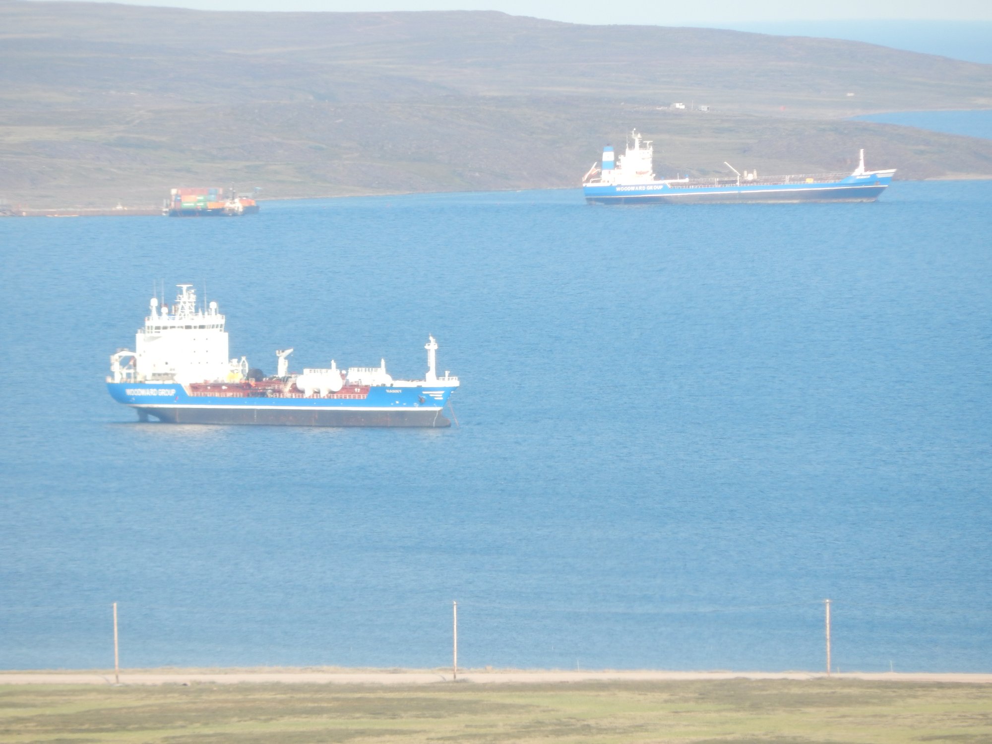
Baker Lake
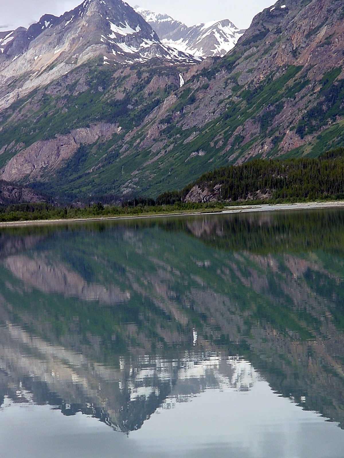
Atlin Lake
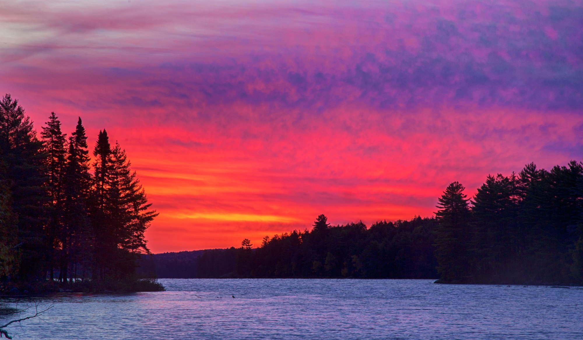
Big Trout Lake
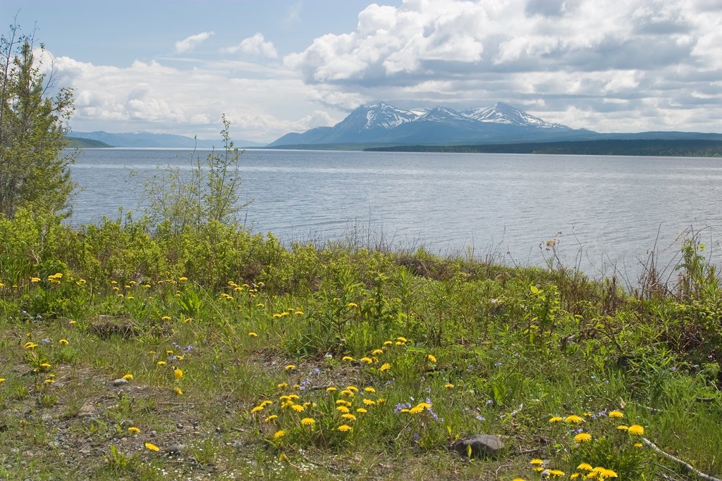
Teslin Lake
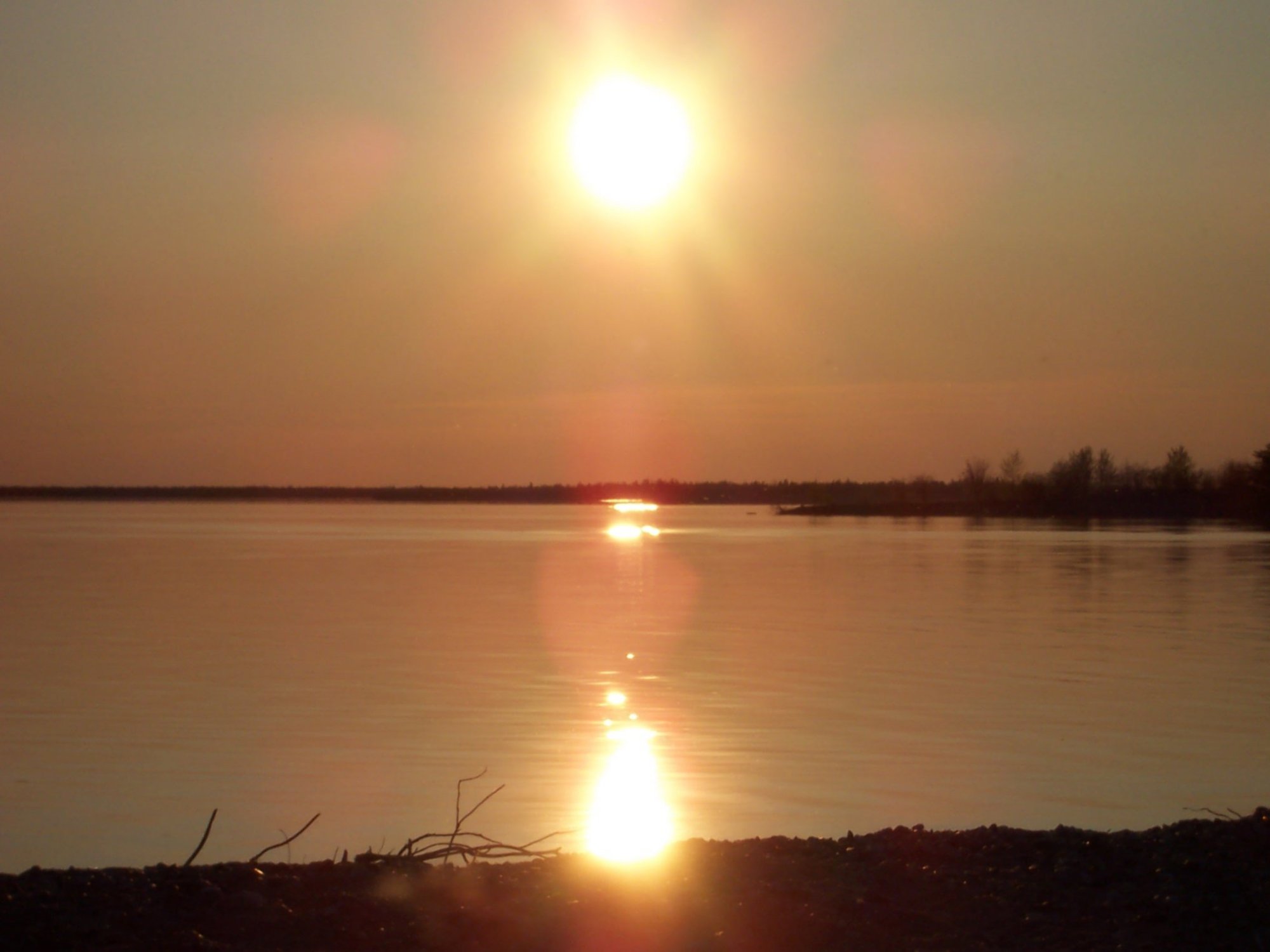
Stephens Lake
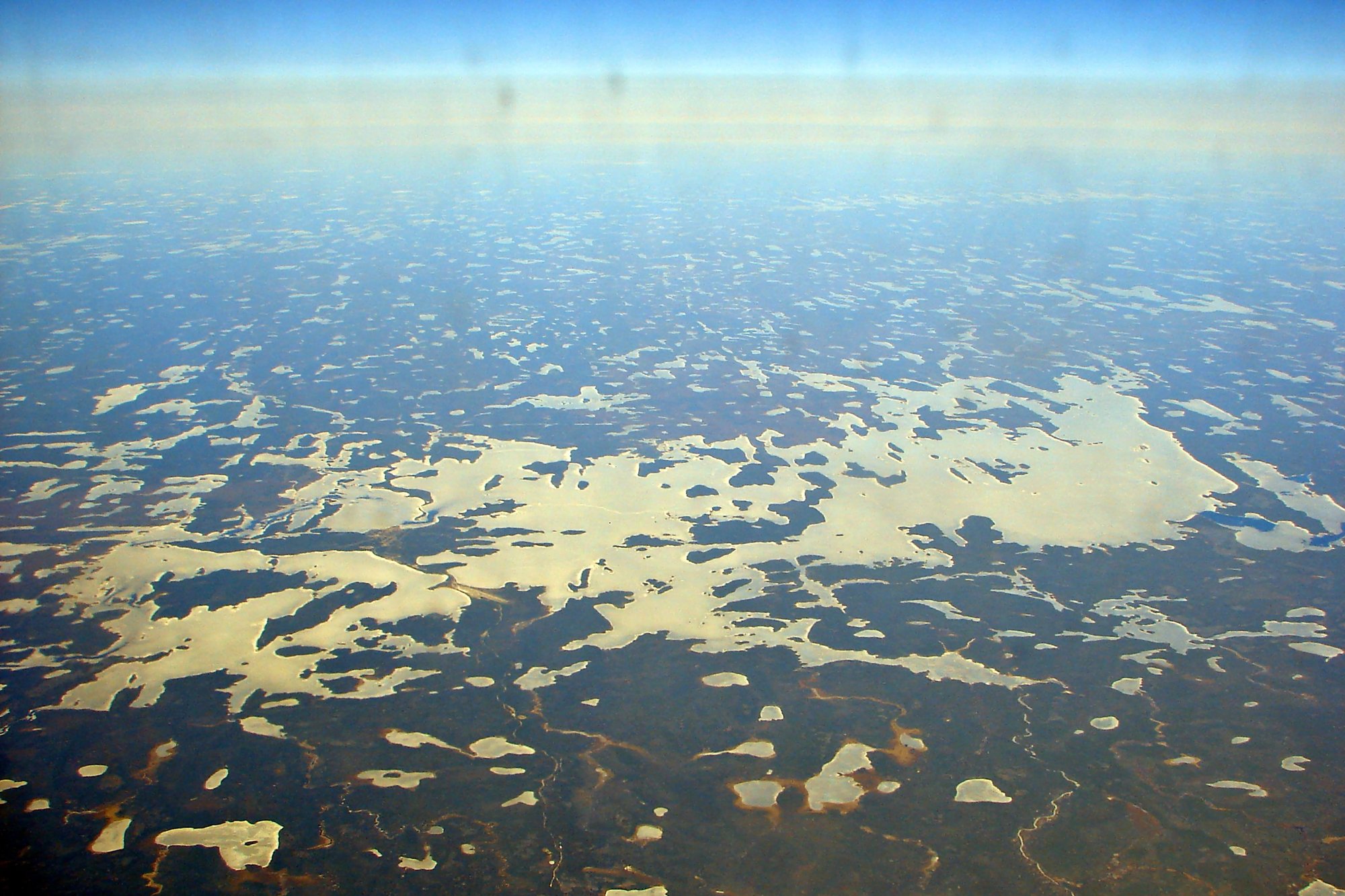
Wunnummin Lake
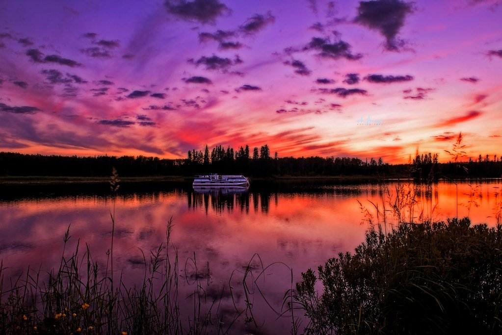
Sturgeon Lake
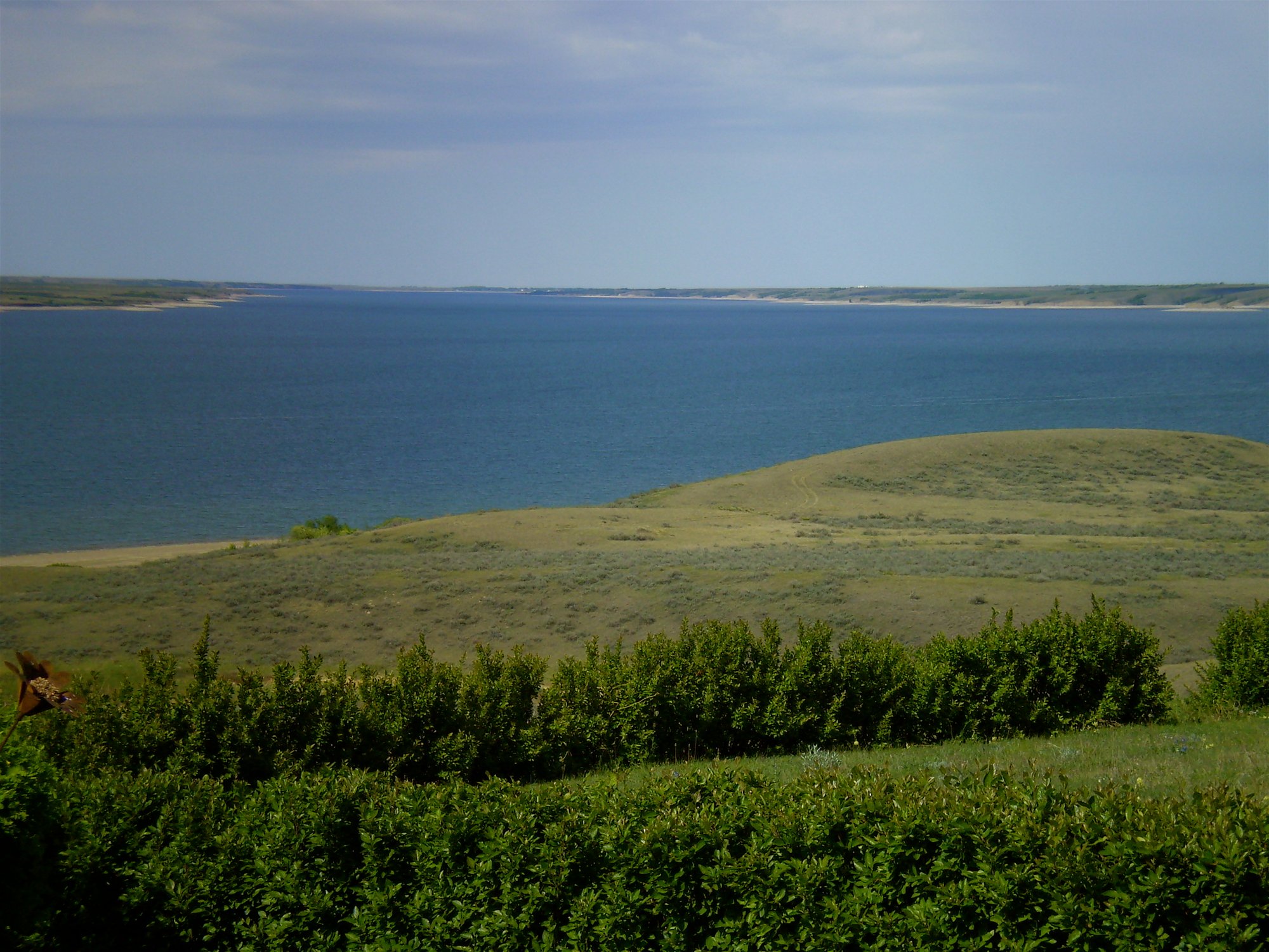
Lake Diefenbaker
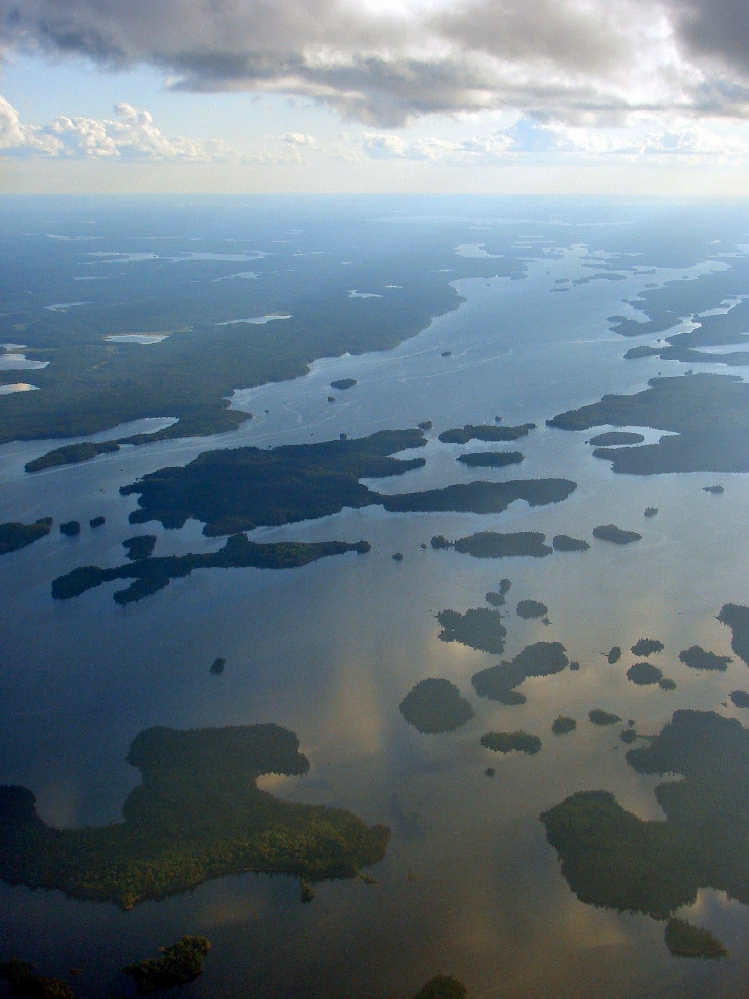
Minnitaki Lake
Explore Nu waters
Top paddling waters
No waters available right now.
Popular Cities
Loading popular cities...
Explore near Ruggles River

Smarter Paddling Starts in the App.
Paddleways gives you everything you need to plan smarter, paddle better, and own every trip from first launch to takeout.