Lady Franklin Bay
- Saltwater
- Bay
Lady Franklin Bay
- Saltwater
- Bay
- Sq. miles
- 194
- Boat Ramps
- 0
- Access Points
- 0
- Campsites
- 0
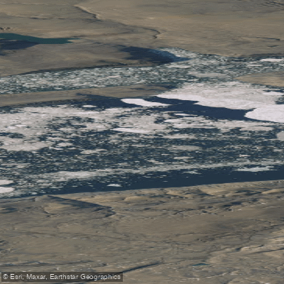
Lady Franklin Bay is a large, open coastal bay on the eastern shore of Ellesmere Island in Nunavut, Canada, situated within the remote Quttinirpaaq National Park. The bay's mouth is exposed to the polar ice funneling south through the Nares Strait, and its waters can be heavily congested with ice, even in late July. Paddling here is an extreme expeditionary undertaking, characterized by the constant challenge of navigating through dense ice pans and leads. The primary technique for traversing the bay involves pan-hopping—jumping between unstable ice floes and dragging boats across them—with only occasional opportunities for paddling in narrow open-water channels. A notable access point and historical site within the bay is Discovery Harbour, which was the location of Fort Conger, a base for 19th-century Arctic explorers including the ill-fated Lady Franklin Bay Expedition led by Lieutenant Adolphus Greely. The Ruggles River, which flows year-round from Lake Hazen, empties into the bay via Chandler Fiord, providing a potential route from the interior, though the river itself is quite shallow at less than 1.5 meters deep. The paddling season is extremely short, with expeditions typically attempting passage in July and August to avoid the intensified storms and snow squalls of early September. The area is home to polar bears, which pose a significant hazard to paddlers. There are no facilities or amenities; this is a pristine and unforgiving Arctic environment where paddlers must be entirely self-sufficient, skilled in advanced ice navigation, and prepared for severe weather.
Water access, boat ramps & amenities
Learn how to get on Lady Franklin Bay. Uncover great paddling access points, boat ramps, and all the facilities you need for an unforgettable day on the water. Some locations shown may border or include private property. Always check property boundaries and applicable regulations before visiting. PaddleWays's Public & Private Land layer can help you plan your access with confidence.
Paddle smarter with real-time insights
Whether you're en route and conditions shift or you're looking for the best spot based on current flows, we enable you to make informed decisions on the fly.








Find Places to Paddle

Over 400,000 Places to Paddle
Every user gets free access to launch points, boat ramps, and public property parcels.


Tides, wind & water conditions (10 day forecast)
On open water, wind and tide matter as much as the weather. See the best times to paddle Lady Franklin Bay and check the marine forecast before you launch.
Loading tide predictions…
Paddling near Lady Franklin Bay
Williston Lake
Baker Lake
Atlin Lake
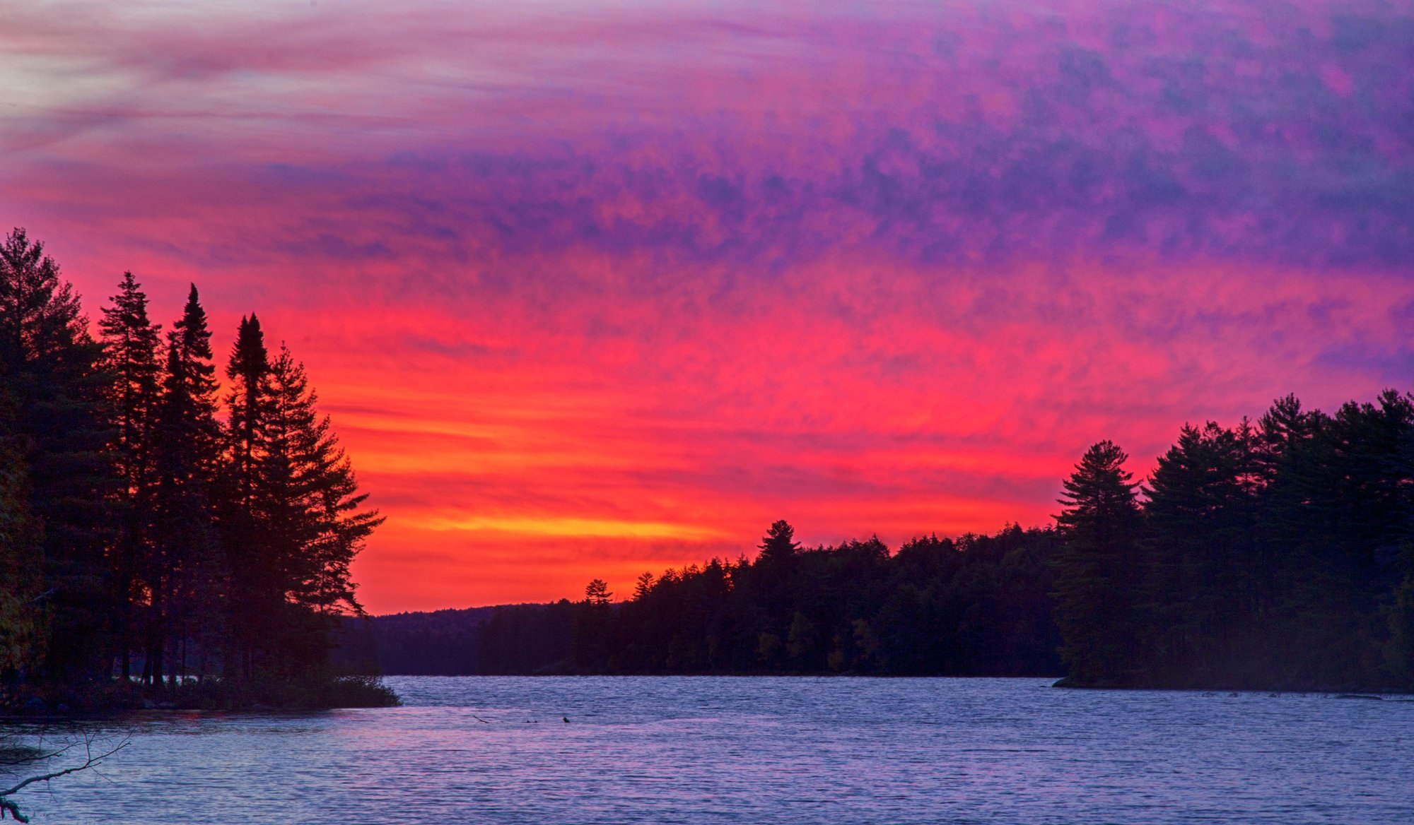
Big Trout Lake
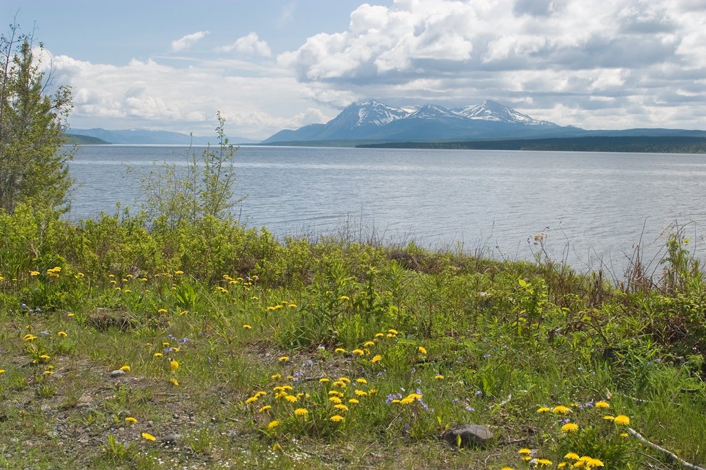
Teslin Lake
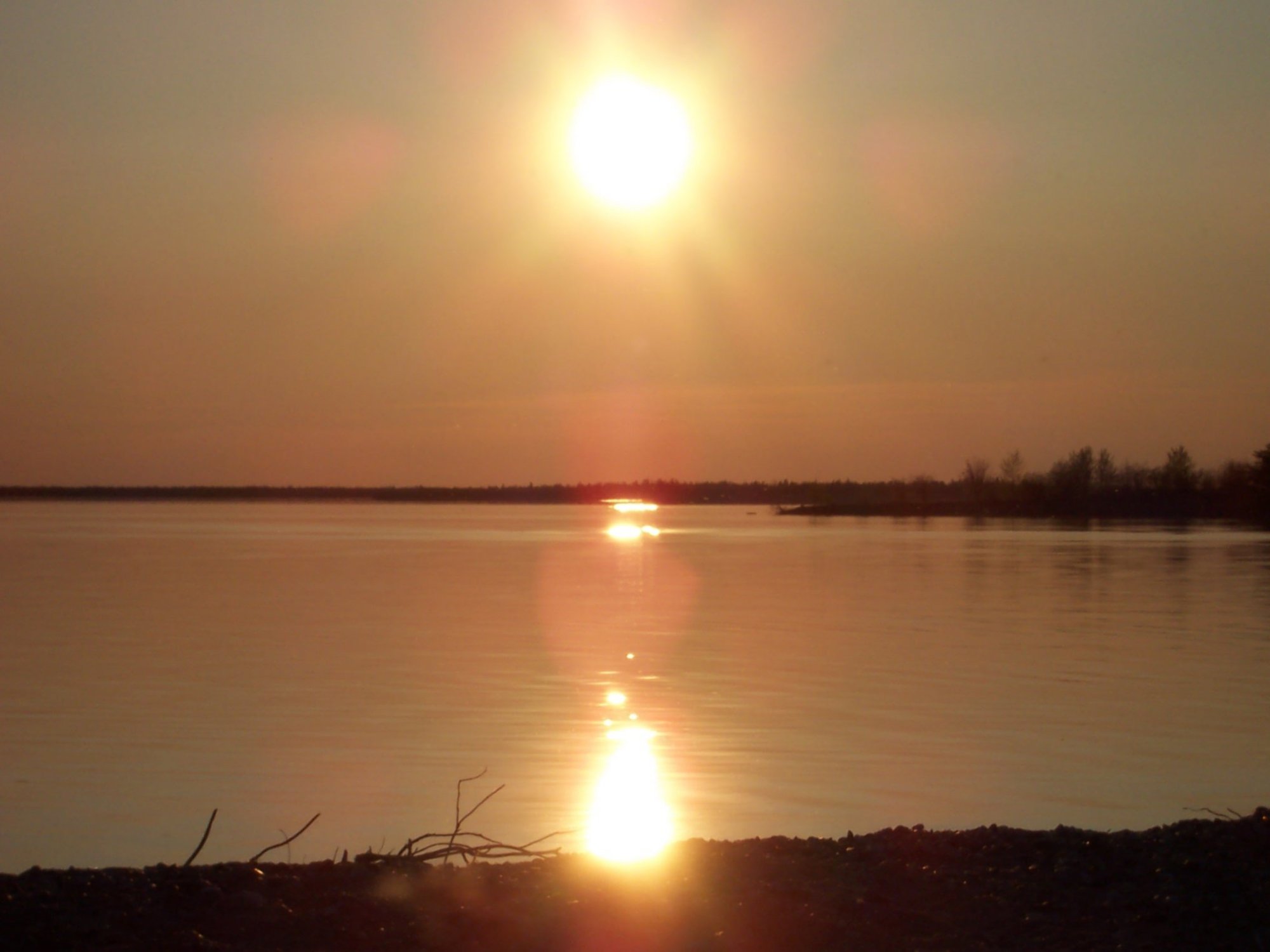
Stephens Lake
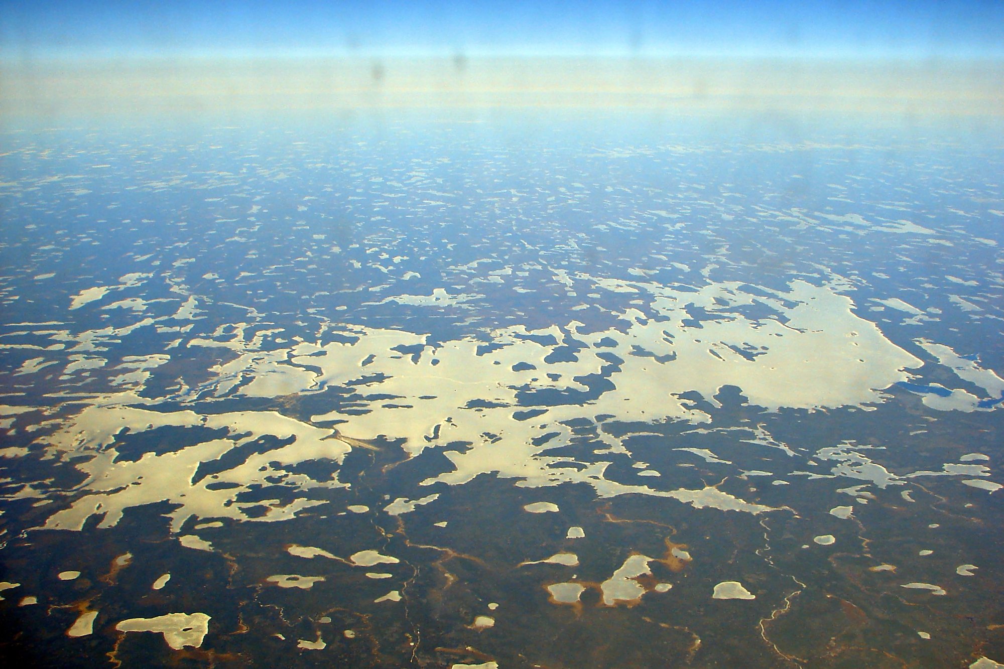
Wunnummin Lake
Sturgeon Lake
Minnitaki Lake
Loon Bay
Explore Nu waters
Top paddling waters
No waters available right now.
Popular Cities
Loading popular cities...
Explore near Lady Franklin Bay

Smarter Paddling Starts in the App.
Paddleways gives you everything you need to plan smarter, paddle better, and own every trip from first launch to takeout.