Archer Fiord
- Saltwater
- Bay
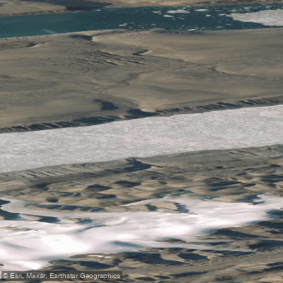
Archer Fiord
- Saltwater
- Bay
- Sq. miles
- 197
- Boat Ramps
- 0
- Access Points
- 0
- Campsites
- 0
Archer Fiord is a substantial saltwater bay located within Quttinirpaaq National Park on the northern coast of Ellesmere Island, Nunavut. It is a remote, high-Arctic coastal feature, characterized by its connection to the larger marine systems of the region, including Beatrix Bay to the southwest and Lady Franklin Bay to the northeast. The fiord's ordinary low water mark defines the northern boundary of the national park in this area. Access to Archer Fiord is extremely remote, with the nearest significant human settlement being the small Inuit hamlet of Grise Fiord, located to the south in Jones Sound. The area is accessible only by expedition-style logistics, such as charter flights to remote airstrips like those at Lake Hazen or Tanquary Fiord, followed by extensive overland travel. There are no designated launch sites, facilities, or amenities for paddlers; any trip would require complete self-sufficiency and expedition-level planning. The waters are part of the Northern Canada Vessel Traffic Services Zone (NORDREG), indicating that vessel traffic, though minimal, is monitored. Paddlers must obtain special permission from Quttinirpaaq National Park staff to visit historic sites like Fort Conger, which sits on the eastern park boundary near Archer Fiord, and must be accompanied by staff to such locations. The region holds deep historical significance, with archaeological evidence of Thule culture summer hunting camps evidenced by tent rings along its shores dating back centuries. The aesthetic is one of a stark, pristine Arctic landscape, with no developed trails or infrastructure. Wildlife includes marine mammals, with aerial surveys conducted in the broader region. Paddling here is an expeditionary undertaking suitable only for highly experienced teams prepared for extreme isolation, cold water, dynamic weather, and the logistical challenges of operating in a protected national park far above the Arctic Circle.
Water access, boat ramps & amenities
Learn how to get on Archer Fiord. Uncover great paddling access points, boat ramps, and all the facilities you need for an unforgettable day on the water. Some locations shown may border or include private property. Always check property boundaries and applicable regulations before visiting. PaddleWays's Public & Private Land layer can help you plan your access with confidence.
Paddle smarter with real-time insights
Whether you're en route and conditions shift or you're looking for the best spot based on current flows, we enable you to make informed decisions on the fly.








Find Places to Paddle

Over 400,000 Places to Paddle
Every user gets free access to launch points, boat ramps, and public property parcels.


Tides, wind & water conditions (10 day forecast)
On open water, wind and tide matter as much as the weather. See the best times to paddle Archer Fiord and check the marine forecast before you launch.
Loading tide predictions…
Paddling near Archer Fiord
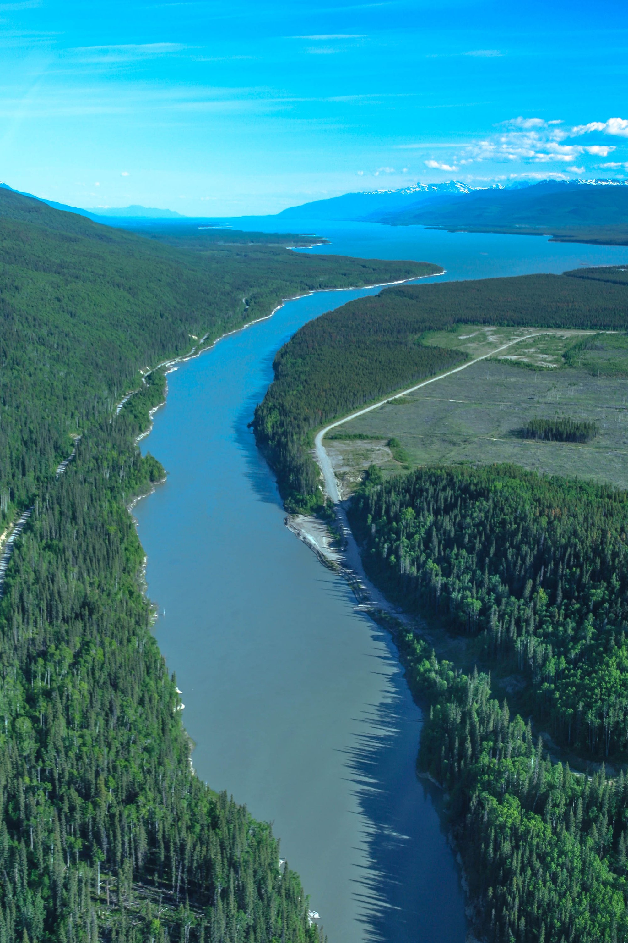
Williston Lake
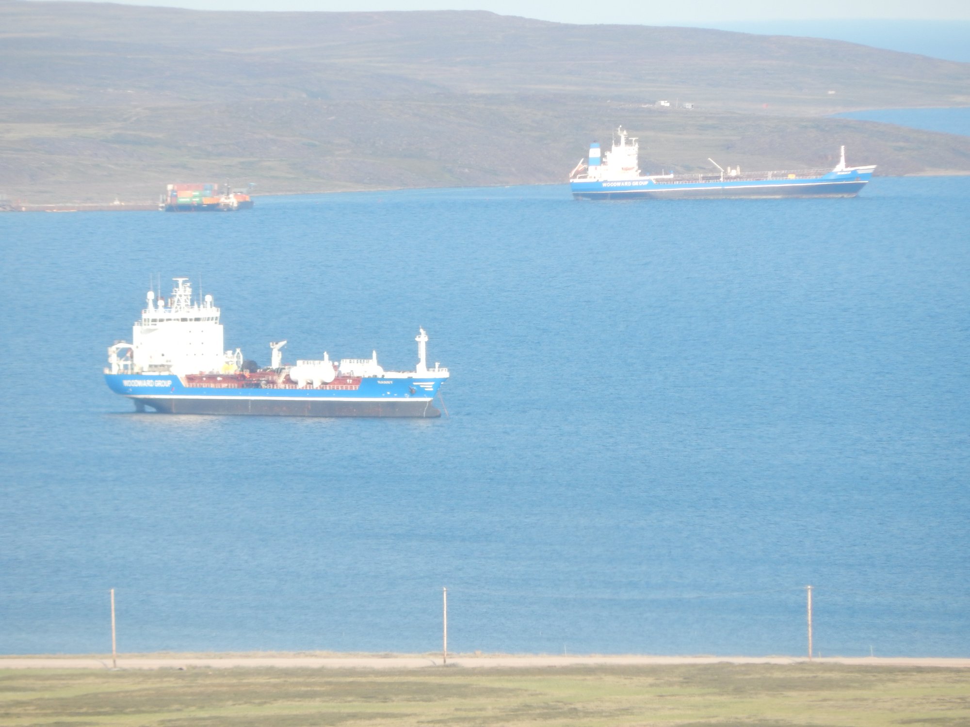
Baker Lake
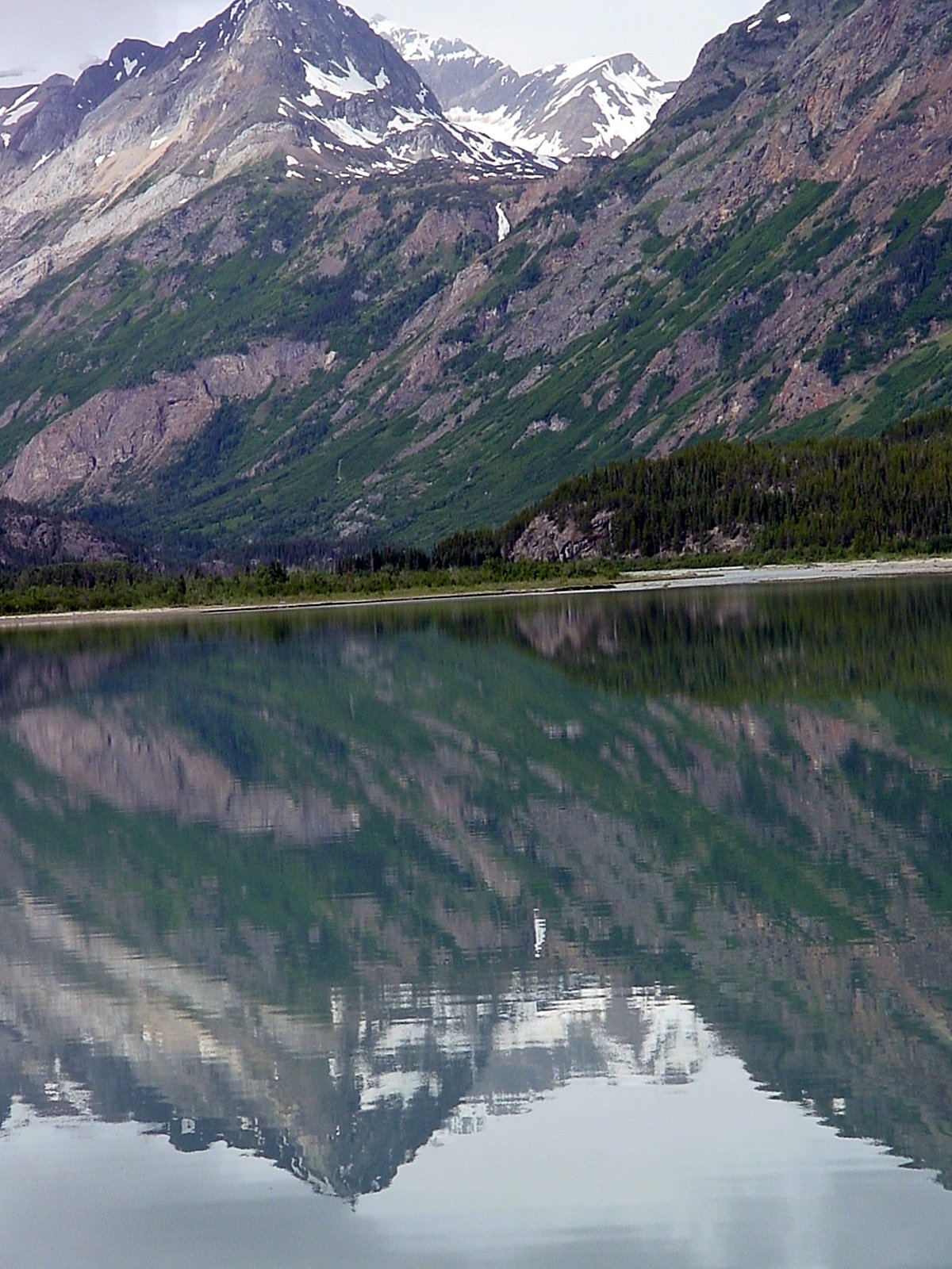
Atlin Lake
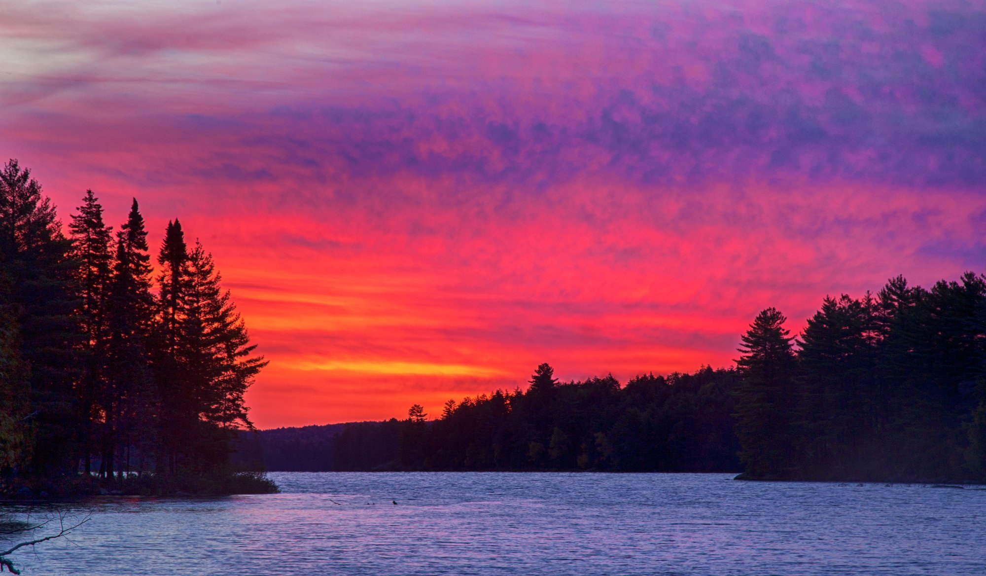
Big Trout Lake
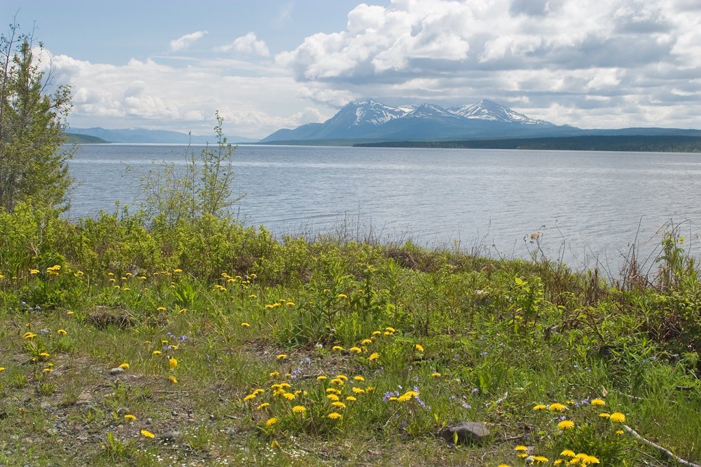
Teslin Lake
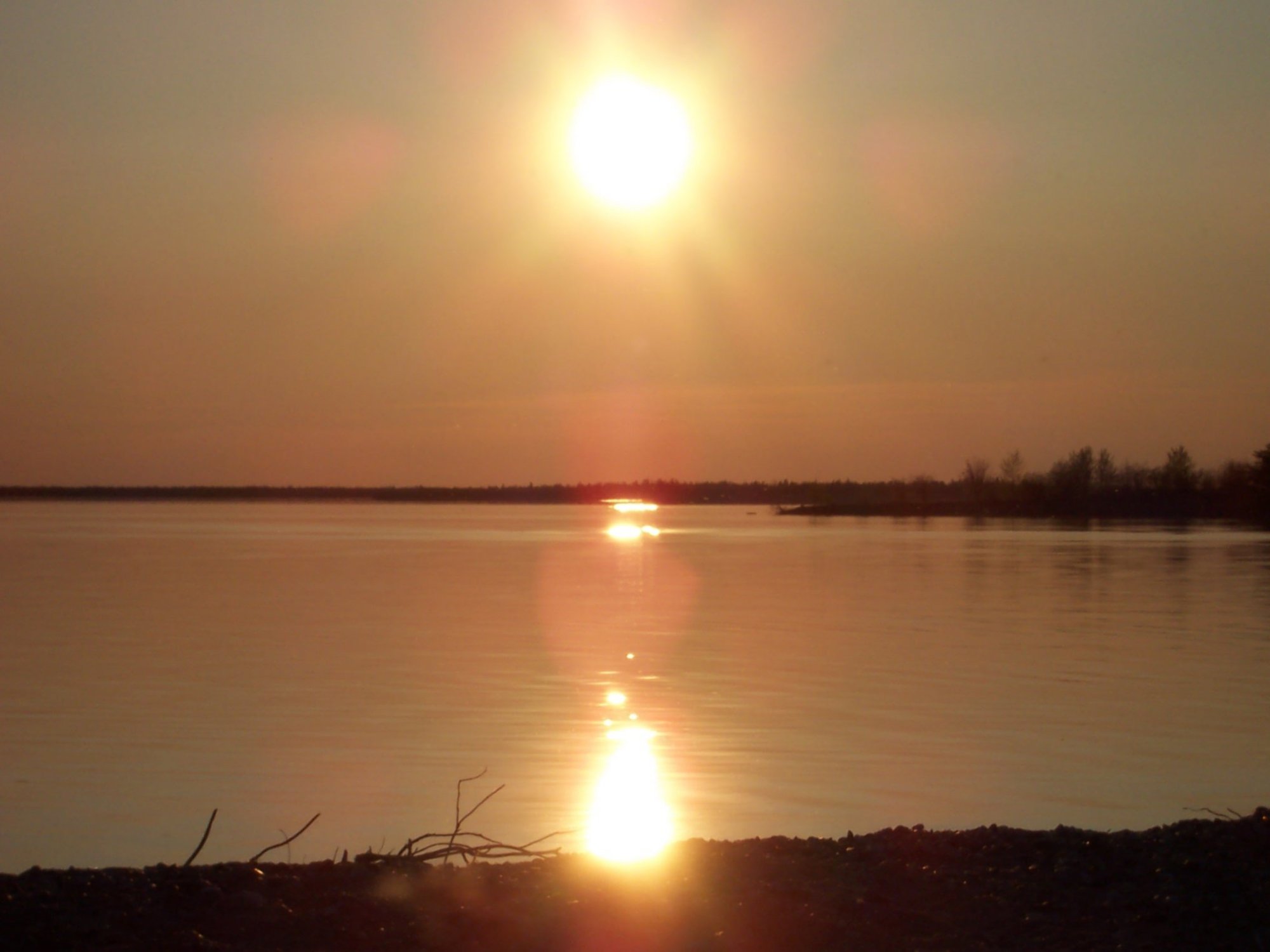
Stephens Lake
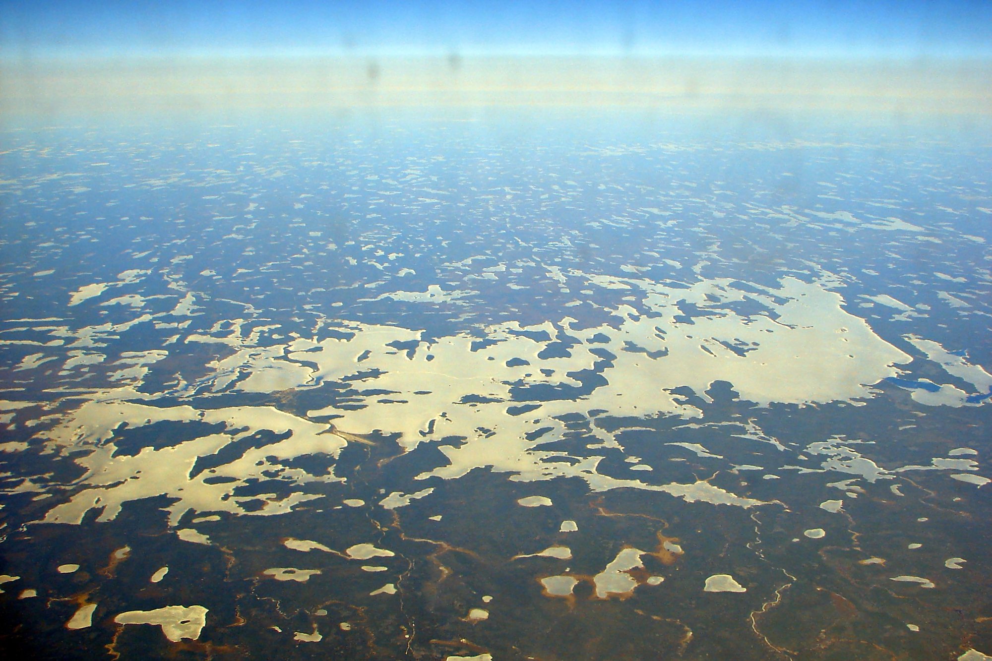
Wunnummin Lake
Sturgeon Lake
Minnitaki Lake
Loon Bay
Explore Nu waters
Top paddling waters
No waters available right now.
Popular Cities
Loading popular cities...
Explore near Archer Fiord

Smarter Paddling Starts in the App.
Paddleways gives you everything you need to plan smarter, paddle better, and own every trip from first launch to takeout.