Clements Markham Inlet
- Saltwater
- Inlet
Clements Markham Inlet
- Saltwater
- Inlet
- Sq. miles
- 166
- Boat Ramps
- 0
- Access Points
- 0
- Campsites
- 0
Clements Markham Inlet is a significant coastal inlet on northern Ellesmere Island in Nunavut, Canada, within the boundaries of Quttinirpaaq National Park. The inlet trends southwest for approximately 25 miles from its entrance between Hamilton Bluff and Cape Colan. The surrounding terrain is characterized by a low coastal plain near the inlet, with mountainous regions and glaciers, including the Grant Ice Cap and Turnabout Glacier, located farther inland. A chain of low islands lies off the inlet's west side, which can provide some limited lee from open-water conditions but also indicates complex, island-dotted waters for navigation.
This is an extremely remote High Arctic location with no roads, communities, or developed facilities for paddlers. Access would require a significant expeditionary approach, likely involving air charter to a remote drop-off point and wilderness camping. The area is exposed to the open waters of the Arctic Ocean, leading to potentially high wind exposure and significant fetch, which can generate hazardous sea states. Tidal currents are a primary consideration; paddlers must consult detailed nautical resources for this inlet. The presence of glaciers and ice caps feeding into the region means paddlers must be prepared for cold water temperatures year-round and the potential for ice, including bergs and seasonal pack ice, which can present severe hazards and block access. The water is marine and clarity is typical for Arctic coastal waters.
The landscape is dramatic, featuring stark glacial valleys. One large through valley runs southeast from the head of Clements Markham Inlet, connecting to the interior ice cap. Wildlife may include marine mammals such as walrus and bowhead whales, as evidenced by historical remains in the area. Paddling here is a serious wilderness expedition suitable only for highly experienced, self-sufficient teams with advanced cold-water and remote travel skills. All visitors must comply with Parks Canada regulations for Quttinirpaaq National Park, which governs this entire area.
Water access, boat ramps & amenities
Learn how to get on Clements Markham Inlet. Uncover great paddling access points, boat ramps, and all the facilities you need for an unforgettable day on the water. Some locations shown may border or include private property. Always check property boundaries and applicable regulations before visiting. PaddleWays's Public & Private Land layer can help you plan your access with confidence.
Paddle smarter with real-time insights
Whether you're en route and conditions shift or you're looking for the best spot based on current flows, we enable you to make informed decisions on the fly.








Find Places to Paddle

Over 400,000 Places to Paddle
Every user gets free access to launch points, boat ramps, and public property parcels.


Tides, wind & water conditions (10 day forecast)
On open water, wind and tide matter as much as the weather. See the best times to paddle Clements Markham Inlet and check the marine forecast before you launch.
Loading tide predictions…
Paddling near Clements Markham Inlet
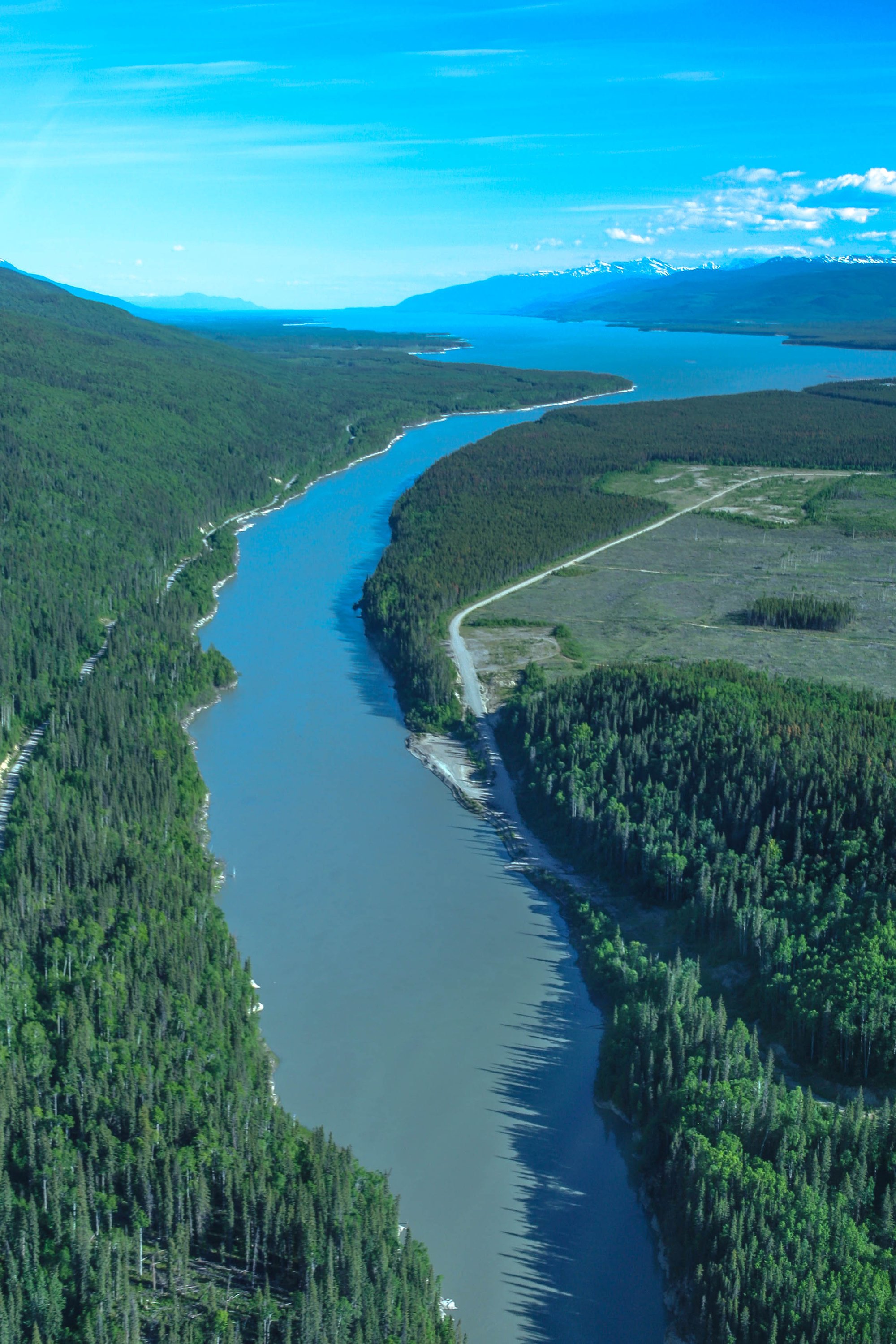
Williston Lake
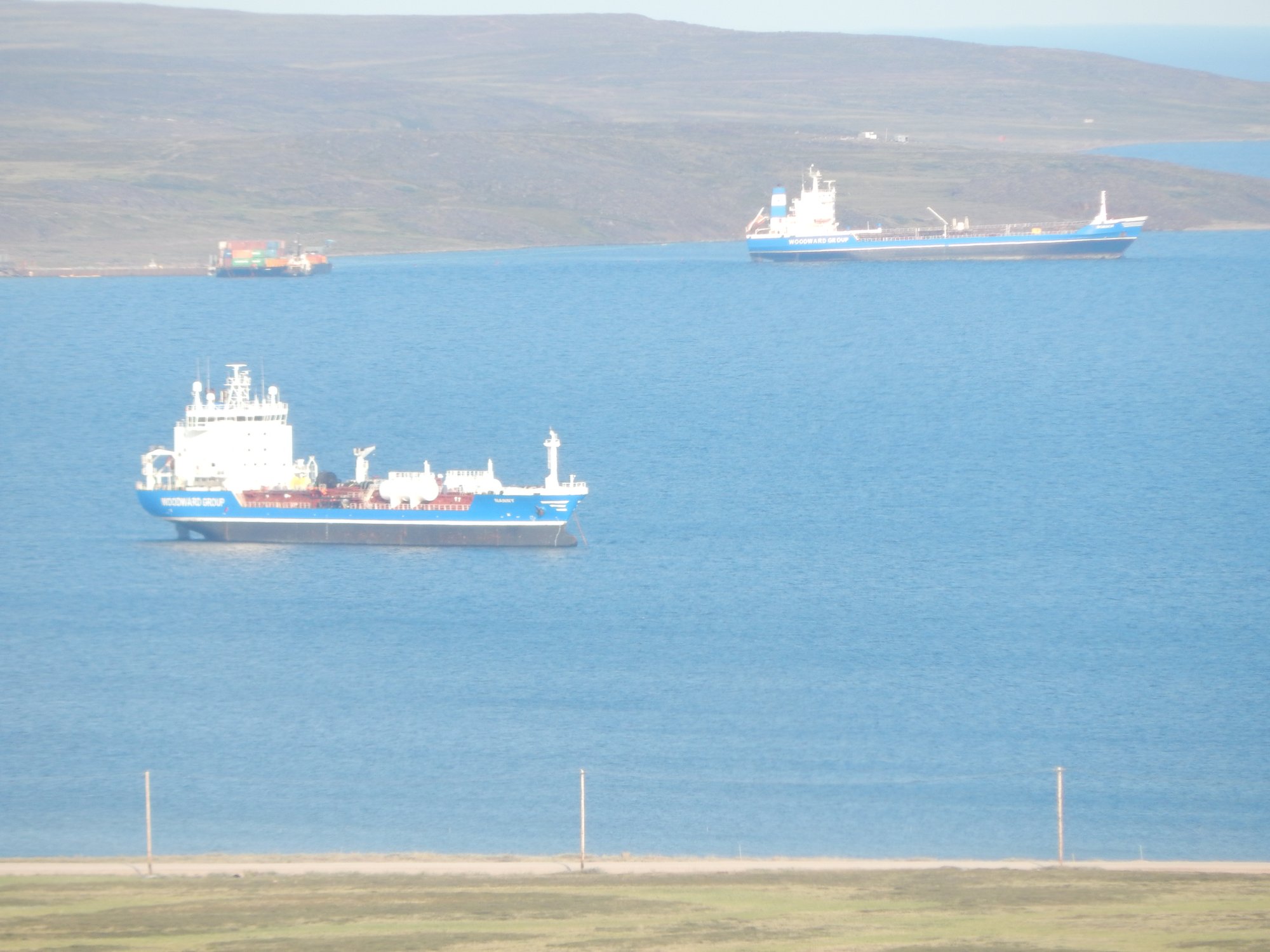
Baker Lake
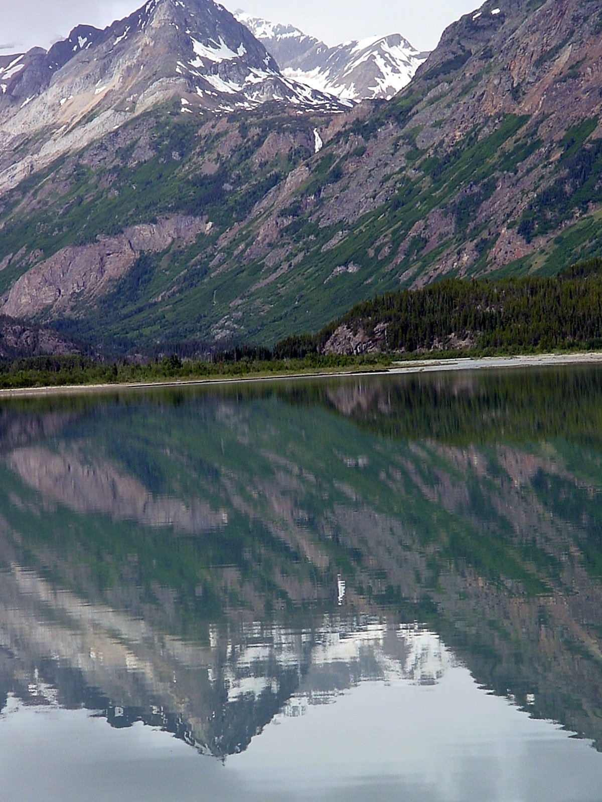
Atlin Lake
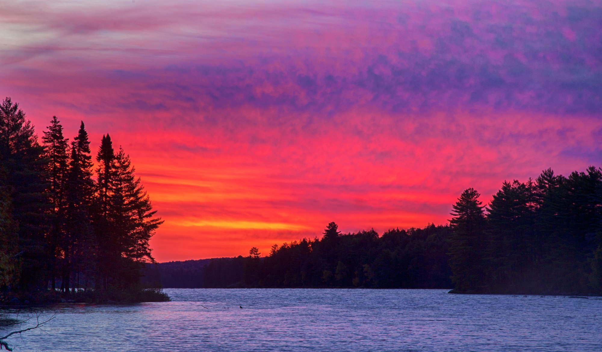
Big Trout Lake
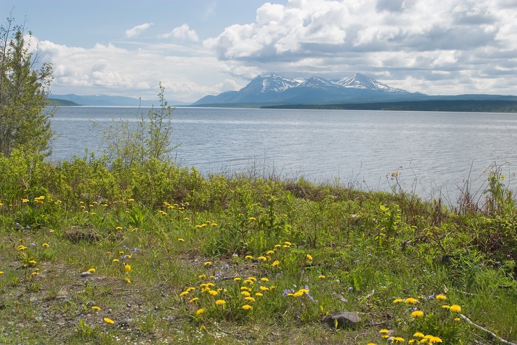
Teslin Lake
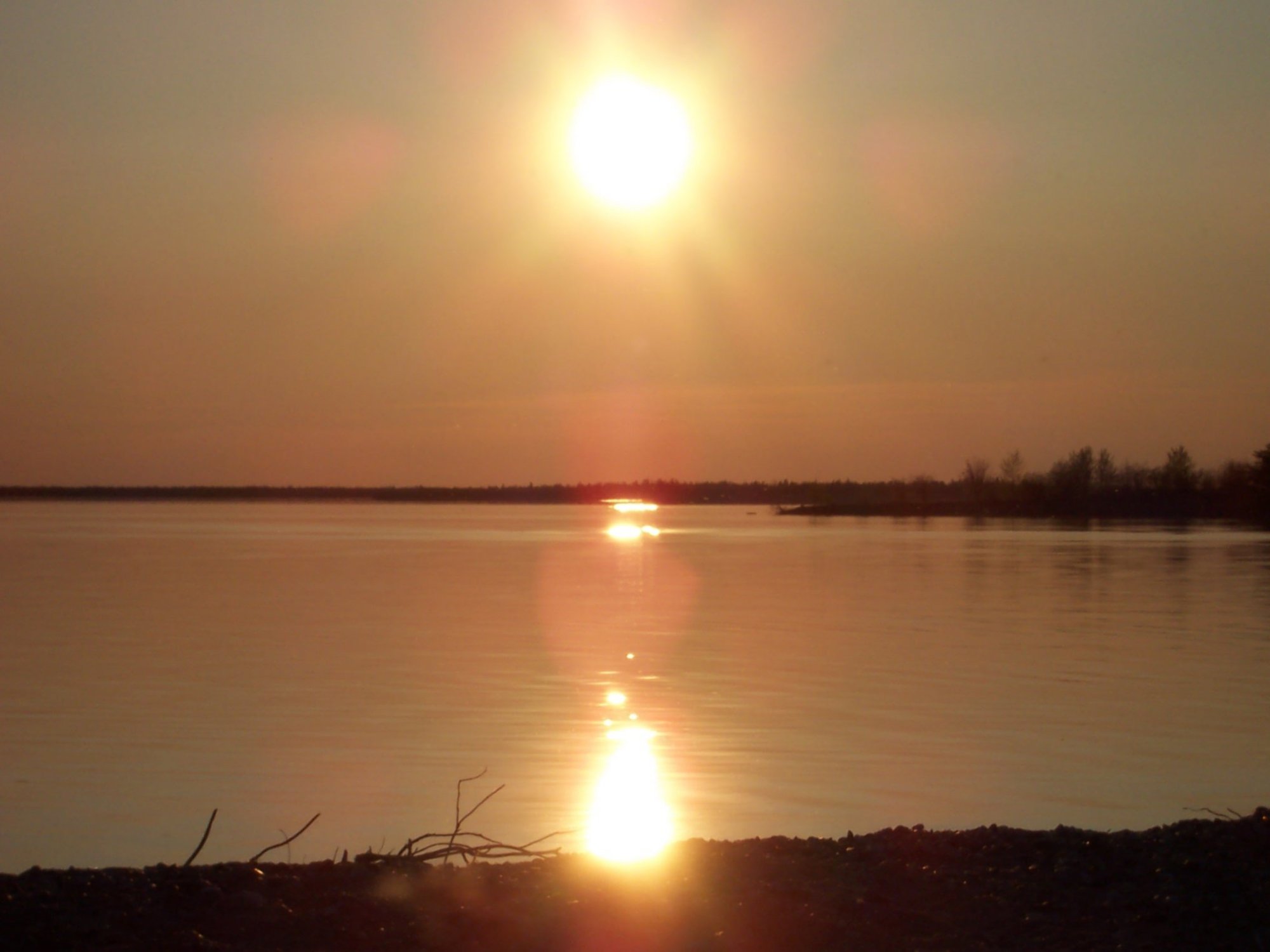
Stephens Lake
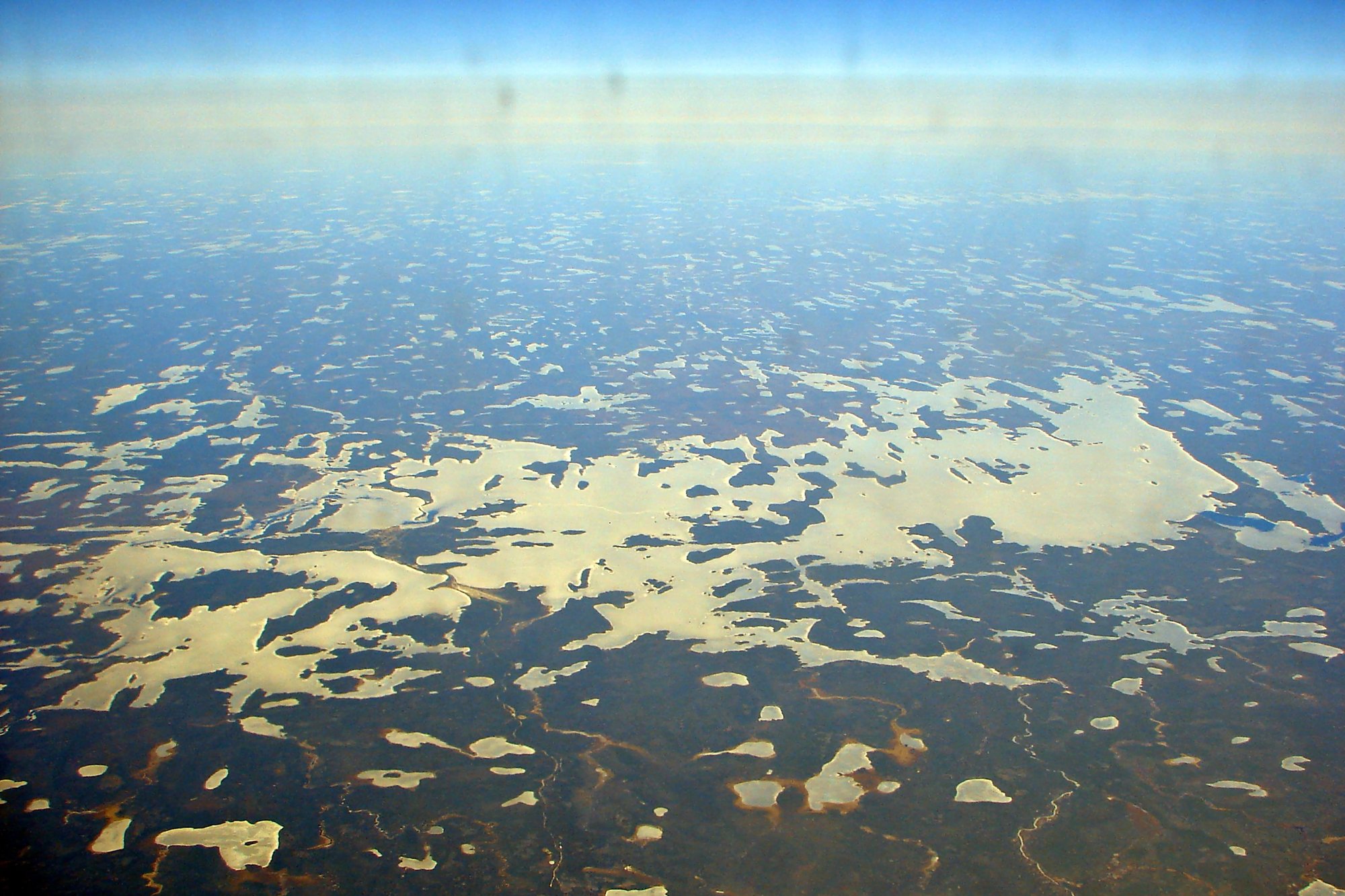
Wunnummin Lake
Sturgeon Lake
Minnitaki Lake
Loon Bay
Explore Nu waters
Top paddling waters
No waters available right now.
Popular Cities
Loading popular cities...
Explore near Clements Markham Inlet

Smarter Paddling Starts in the App.
Paddleways gives you everything you need to plan smarter, paddle better, and own every trip from first launch to takeout.