Paddling in Torngat Mountains National Park
- National Park
- Lakes
- 20
- Rivers
- 9
- Access
- 0
- Boat Ramps
- 0
- Shops
- 0
Torngat Mountains National Park occupies a sharply pointed wedge at the northern tip of Labrador, covering 9,700 square kilometres between the Québec border and the Labrador Sea.
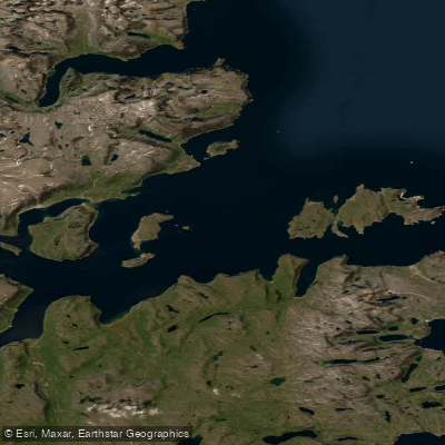
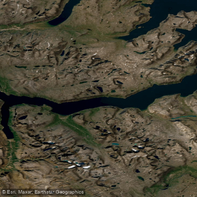
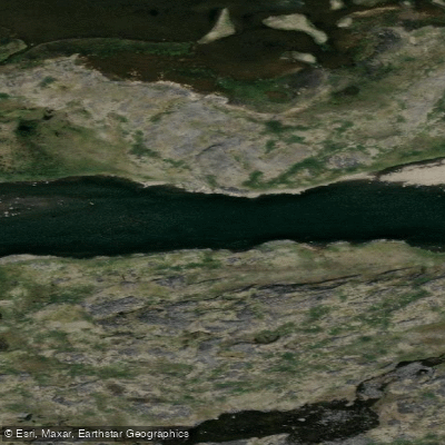
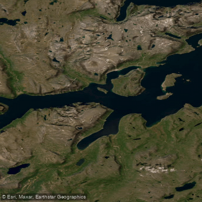
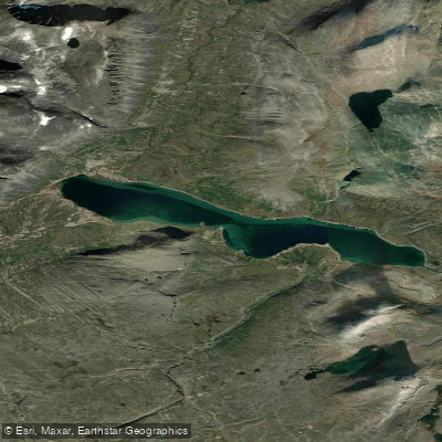
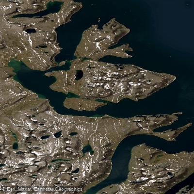
The water here is almost entirely coastal and fjordal — deep, glacier-carved saltwater inlets that push far inland between peaks that drop straight to the waterline.
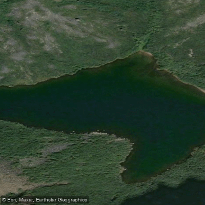
This is sea kayak country, remote and serious, with polar bears on the shore and icebergs in the channel. Nachvak Fjord and Saglek Fjord are the two waters that anchor the paddling.
Saglek is where the Torngat Mountains Base Camp and Research Station sits — outside the park boundary, bear-fence-enclosed — and it serves as the practical staging point for most expeditions moving into the park.
Nachvak, deeper inside, draws kayakers retracing routes that connect ancient Inuit village sites and trading posts, with roughly 7,000 years of human history along its shores.
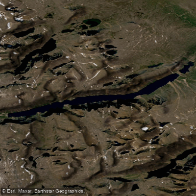
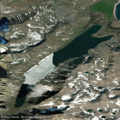
The Komaktorvik Lakes lie within the park as well, accessible only by those already committed to the interior. Getting to any of these waters requires a charter flight from Goose Bay or Kuujjuaq, or arriving by boat — there are no roads in or out.
The paddling season is short, constrained by ice and Arctic weather. Summer is the window, and even then conditions shift fast.
Polar bears are not a background detail here: they concentrate in numbers along this coast, and Parks Canada recommends travelling with a trained Inuit polar bear guard.
That recommendation carries real weight in a place where four canoeists once reported three bears within ten metres of their tent at night.
All visitors must register with Parks Canada, obtain a park use permit, and complete an orientation before any independent boat trip inside the park. The permit is issued through Parks Canada; contact the Parks Canada office in Nain for current requirements.
Expedition paddlers have completed routes of 1,000 kilometres through this region, linking the Torngat coast to Ungava Bay — but those are multi-week commitments with 30-day food carries between communities.
Most visitors paddle as day or overnight excursions out of Base Camp, with Inuit guides who know these fjords the way their families always have. The Torngat is not a park you ease into.
It asks for honest self-assessment, thorough logistics, and respect for a landscape that has never been managed for convenience.
Top waters to paddle near Torngat Mountains National Park
Water and weather conditions (10 day forecast)
See the best times to paddle Torngat Mountains National Park and check the forecast before you go.
No forecast data available.
Paddle smarter with real-time insights
Whether you're en route and conditions shift or you're looking for the best spot based on current flows, we enable you to make informed decisions on the fly.







Paddling near Torngat Mountains National Park
Loading...
Gateway towns
Where to base yourself for paddling in Torngat Mountains National Park.
- Happy Valley-Goose BayNL
The main departure hub for the park; charter flights to Saglek and Base Camp originate here.
- NainNL
Inuit community and stopover point on the charter flight route into the park from Goose Bay.
- KangiqsualujjuaqQC
Northern village on the Quebec side used as a base for treks entering the Torngat Mountains from the south.
Explore Torngat Mountains National Park
Top paddling waters
Popular Cities
Loading popular cities...

Smarter Paddling Starts in the App.
Paddleways gives you everything you need to plan smarter, paddle better, and own every trip from first launch to takeout.