Komaktorvik Lakes
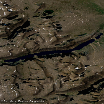
Komaktorvik Lakes
- Boat Ramps
- 0
- Access Points
- 0
- Campsites
- 0
The Komaktorvik Lakes are a pair of elongated lakes situated in the Torngat Mountains of northern Labrador, within Torngat Mountains National Park. Together, the two lakes form roughly ten miles of connected water, separated near the eastern end by a moraine. The valley they occupy is nearly ten miles long and no more than half a mile wide at its broadest point, with mountain walls rising to approximately 4,000 feet on either side. From the outlet of the lower (smaller) lake, the ocean lies about fifteen miles distant.
The lakes are part of the Komaktorvik River watershed and are accessible by floatplane, as commercially guided float plane landings are permitted on Komaktorvik Lake under Parks Canada regulations. Landing permits are required for any aircraft or helicopter landing within the park and must be applied for in advance through the Parks Canada office in Nain. Currently, landings are limited to commercial aircraft companies and commercially guided trips for the purpose of dropping off and picking up clients. Paddlers planning a visit should contact the Nain office well ahead of their trip to arrange permits and registration.
The lakes are known for arctic char, which undertake spawning runs in the Komaktorvik River system. Arctic char are described as the most northerly of freshwater fish and represent the large boreal ancestor of the brook trout. The surrounding terrain is remote wilderness, and the valley's extreme narrowness relative to its length, combined with the towering mountain walls, gives the paddling environment a pronounced sense of enclosure and scale.
The area falls within Torngat Mountains National Park and is also adjacent to Labrador Inuit Lands administered by the Nunatsiavut Government; access to or across those lands requires the consent of the Nunatsiavut Government. Given the park's location in the high subarctic, the water is described as ice cold. The remoteness of the location means paddlers should plan for self-sufficiency, as communications can be unreliable due to the earth's magnetic field affecting radio equipment in the region.
Water access, boat ramps & amenities
Learn how to get on Komaktorvik Lakes. Uncover great paddling access points, boat ramps, and all the facilities you need for an unforgettable day on the water. Some locations shown may border or include private property. Always check property boundaries and applicable regulations before visiting. PaddleWays's Public & Private Land layer can help you plan your access with confidence.
Paddle smarter with real-time insights
Whether you're en route and conditions shift or you're looking for the best spot based on current flows, we enable you to make informed decisions on the fly.







Nl licenses and regulations
No licenses or regulations available for Nl.
Find Places to Paddle

Over 400,000 Places to Paddle
Every user gets free access to launch points, boat ramps, and public property parcels.


Water and weather conditions (10 day forecast)
See the best times to paddle Komaktorvik Lakes and check the forecast before you go.
No forecast data available.
Paddling near Komaktorvik Lakes
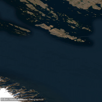
Frobisher Bay
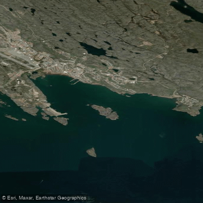
Koojesse Inlet
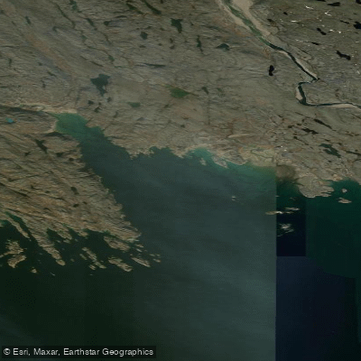
Peterhead Inlet
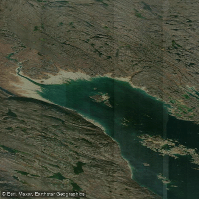
Foul Inlet
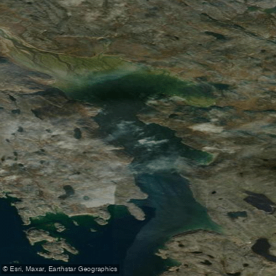
ᑕᓯᐅᔭᕐᔪᐊᓛᖅ Burton Bay
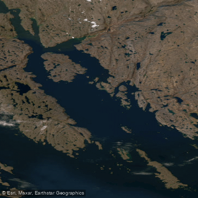
Ward Inlet
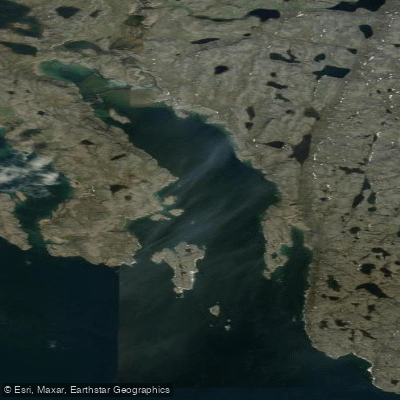
ᐱᑦᓯᐅᑉ ᑲᖏᖅᑐᖓ Lewis Bay
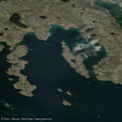
Porter Inlet
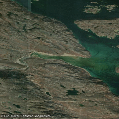
Bay of Two Rivers
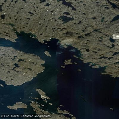
Wayne Bay
Explore Nl waters
Top paddling waters
No waters available right now.
Popular Cities
Loading popular cities...
Explore near Komaktorvik Lakes

Smarter Paddling Starts in the App.
Paddleways gives you everything you need to plan smarter, paddle better, and own every trip from first launch to takeout.