Nachvak Fiord
- Saltwater
- Bay
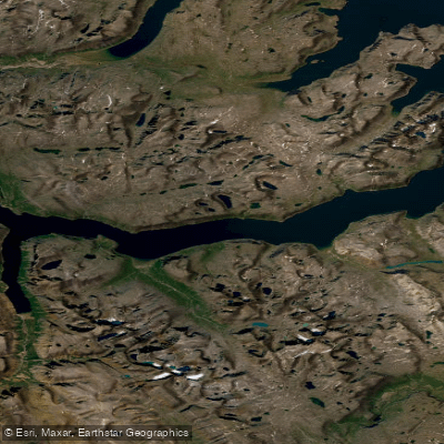
Nachvak Fiord
- Saltwater
- Bay
- Sq. miles
- 36
- Boat Ramps
- 0
- Access Points
- 0
- Campsites
- 0
Nachvak Fiord is a deep, remote Arctic fjord in northern Labrador, nearly 2 kilometers wide and 20 kilometers long. It is surrounded by the Torngat Mountains, which include some of the highest peaks in Labrador, such as Mount Razorback to the north and Mount Caubvick to the south. The fjord's western end divides into two arms: Tallek Arm and Tasiuyak Arm. The overall character is one of extreme wilderness, featuring steep cliffs, glacial valleys, and an untouched landscape. This remoteness defines the paddling experience, which is suitable only for highly experienced, self-sufficient expedition kayakers prepared for significant logistical challenges and potential hazards. A specific hazard noted for paddlers is the presence of polar bears, with one expedition report stating they observed more polar bears in Nachvak Fiord than elsewhere during a traverse of the Torngat Mountains, describing the fiord as "particularly dangerous." The area has historical significance as a former summer fishing station for Inuit and was the site of the most northerly Hudson's Bay Company post in Labrador from 1868 to 1905. Several small rivers and canoeing routes empty into the fjord, including the Palmer River, which flows into Tallek Arm.
Water access, boat ramps & amenities
Learn how to get on Nachvak Fiord. Uncover great paddling access points, boat ramps, and all the facilities you need for an unforgettable day on the water. Some locations shown may border or include private property. Always check property boundaries and applicable regulations before visiting. PaddleWays's Public & Private Land layer can help you plan your access with confidence.
Paddle smarter with real-time insights
Whether you're en route and conditions shift or you're looking for the best spot based on current flows, we enable you to make informed decisions on the fly.







Nl licenses and regulations
No licenses or regulations available for Nl.
Find Places to Paddle

Over 400,000 Places to Paddle
Every user gets free access to launch points, boat ramps, and public property parcels.


Tides, wind & water conditions (10 day forecast)
On open water, wind and tide matter as much as the weather. See the best times to paddle Nachvak Fiord and check the marine forecast before you launch.
Loading tide predictions…
Paddling near Nachvak Fiord
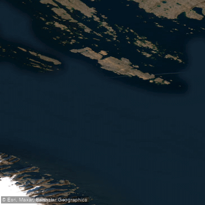
Frobisher Bay
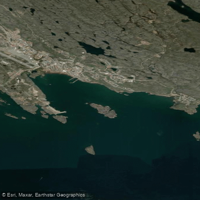
Koojesse Inlet
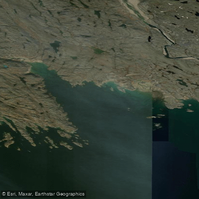
Peterhead Inlet
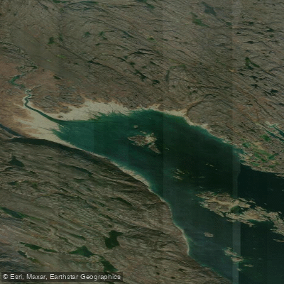
Foul Inlet
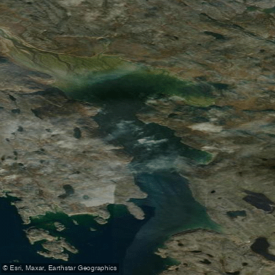
ᑕᓯᐅᔭᕐᔪᐊᓛᖅ Burton Bay
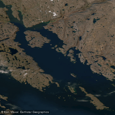
Ward Inlet
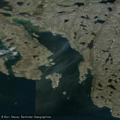
ᐱᑦᓯᐅᑉ ᑲᖏᖅᑐᖓ Lewis Bay
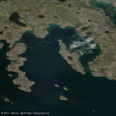
Porter Inlet
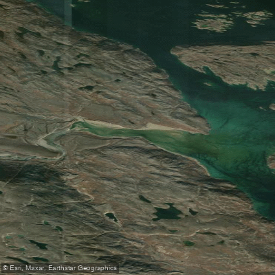
Bay of Two Rivers
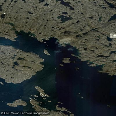
Wayne Bay
Explore Nl waters
Top paddling waters
No waters available right now.
Popular Cities
Loading popular cities...
Explore near Nachvak Fiord

Smarter Paddling Starts in the App.
Paddleways gives you everything you need to plan smarter, paddle better, and own every trip from first launch to takeout.