Curated by PaddleWays
RouteFlatwater
- Distance
- 3.9 mi
- Paddle time
- ~1.5 hrs
- Put-in & take-out
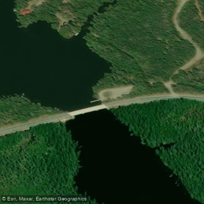
- Cupsuptic River Boat Ramp
The Cupsuptic River is a scenic waterway located in western Maine's Rangeley Lakes region. It flows southward from its headwaters near the New Hampshire border, eventually emptying into Cupsuptic Lake, which is part of the larger Rangeley Lakes system. The river runs through Oxford County and is approximately 20 miles long.
The Cupsuptic offers paddlers a range of experiences, from calm flatwater sections to challenging whitewater. The most popular paddling trip is the Cupsuptic Public Boat Launch Loop, an easy 2-4 mile round trip suitable for beginners and families. This flatwater section features little to no current and provides opportunities for wildlife viewing in a tranquil setting.
For experienced whitewater kayakers, the river offers a thrilling 8-mile Class V+ section from Big Canyon to Big Falls. This extremely challenging stretch demands expert skills and should only be attempted by paddlers with extensive whitewater experience and proper safety equipment.
The river's flow is generally most reliable in spring and early summer, with water levels dropping as summer progresses. Fall can offer beautiful foliage views for paddlers. Winter conditions make the river inaccessible for typical recreational use.
The Cupsuptic's ecosystem supports diverse wildlife, including moose, deer, and various bird species. The surrounding forests are primarily mixed hardwoods and conifers typical of the North Maine Woods.
Key access points include the Cupsuptic Public Boat Launch on Route 16, approximately 5.5 miles from the turn-off and about 1 mile past the Maine Forest Service station. The nearby town of Rangeley serves as a hub for visitors to the area.
Historically, the Cupsuptic River played a role in the logging industry that was crucial to the region's development. Today, it's an important recreational resource, attracting paddlers, anglers, and nature enthusiasts.
Safety considerations include being prepared for remote conditions, as much of the river flows through sparsely populated areas. Paddlers should be aware of potential weather changes and, for the whitewater sections, have appropriate skills and equipment.
While primarily used for day trips, the Cupsuptic's connection to the larger Rangeley Lakes system offers opportunities for multi-day paddling adventures for those looking to explore the broader watershed.
Curated routes
Hand-picked by the PaddleWays team, with put-ins, take-outs, paddle times and the hazards along the way.
RouteFlatwater
RouteClass V
Hazards
No paddler has reported a hazard here yet, so these are the dams, falls and big rapids on our map. Hazards change with flows and storms, so check them before you launch.
From the community
Real trips from PaddleWays paddlers: which route they ran, how the flows were, and what to watch for.
Loading trip reports
Kevin P.
Canoe •
Cupsuptic River• 0 cfs
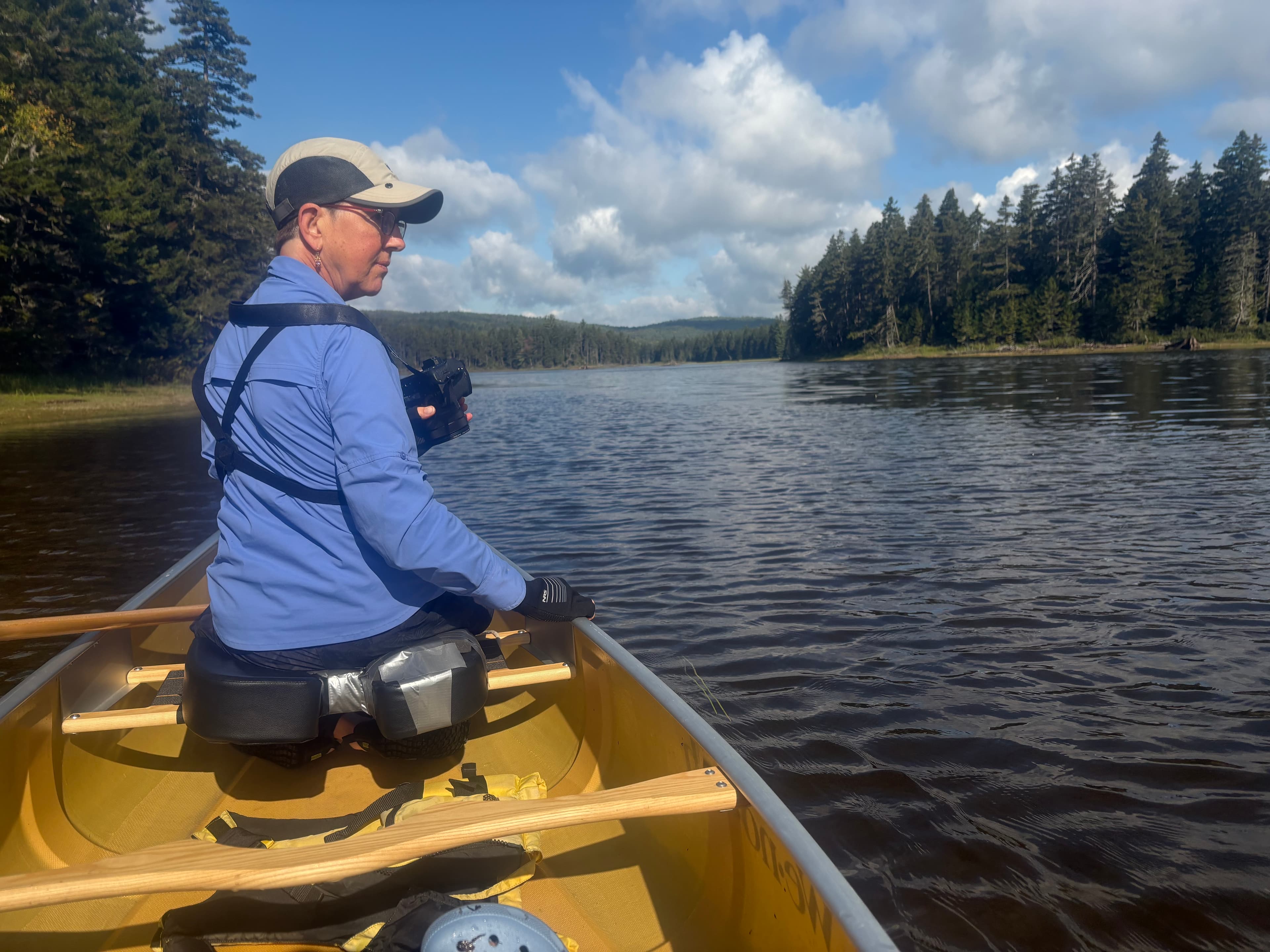
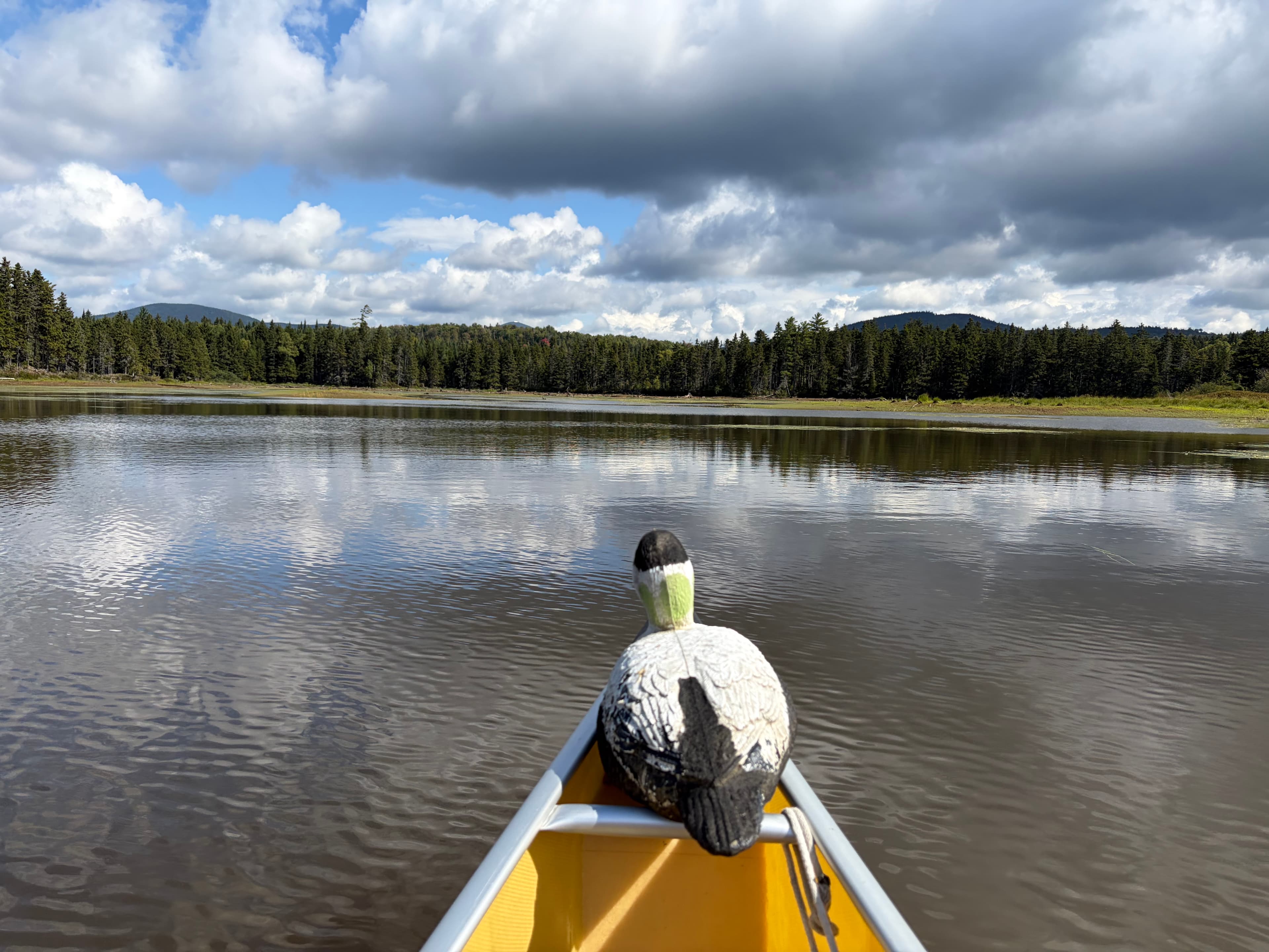
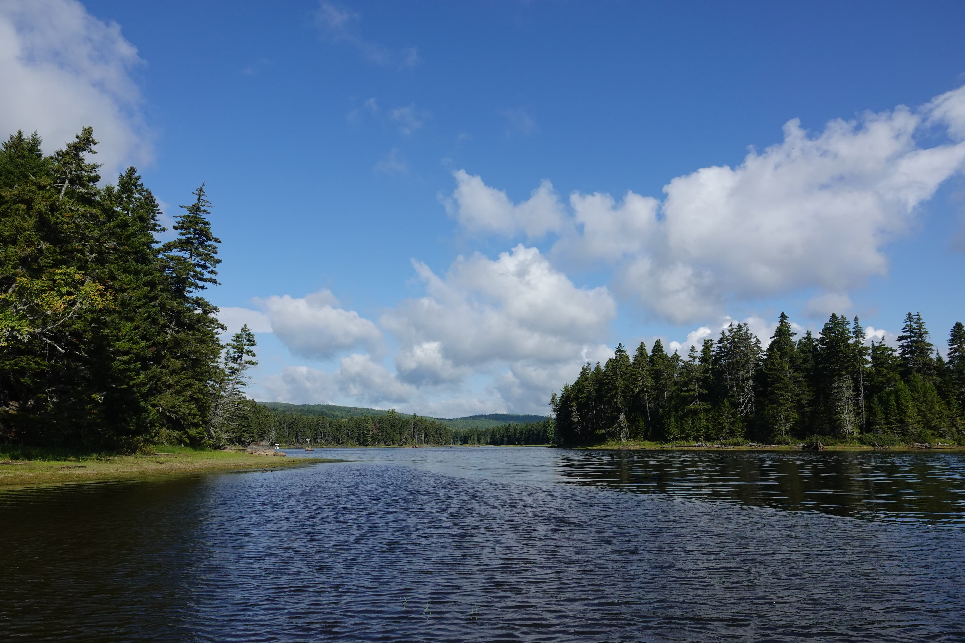
Paddled upstream from the public boat launch at Rte 16/Wilson’s Mills Road. Water level appeared to be down about 18-24” from high water. Despite the lower water level we were able to paddle our We-no-nah Heron in several (but not all) small coves and backwaters, and to the point where the rocky, flowing stream turns to lake backwater, near a small rustic camp on the West Bank—all in all a delightful out-and-back paddle with spectacular scenery. Documented 31 bird species in separate E-Bird post.
See exactly where the public can get on and off the river. Launch points and boat ramps are paired with PaddleWays' public land data so you know where you can legally land.
Public shoreline
0%of the river's shoreline is public
Most of the riverbank is private. Launch, land and camp only at public access points.
Flows, weather and a route-by-route verdict, so you know which stretch of the Cupsuptic River is worth paddling today.
No forecast data available.
Live flows, marked hazards and fresh trip reports from paddlers who were just on the water, all in one place.





Every user gets free access to launch points, boat ramps, and public property parcels.


Loading popular cities...
PaddleWays gives you everything you need to plan smarter, paddle better, and own every trip from first launch to takeout.