Rivière Cap-Chat
Rivière Cap-Chat
- Boat Ramps
- 0
- Access Points
- 0
- Campsites
- 1
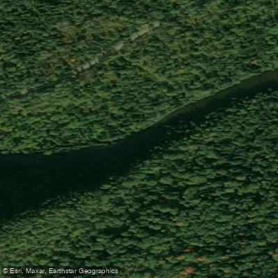
The Rivière Cap-Chat rises in the Chic-Chocs Mountains of the Gaspésie region and flows approximately 57.5 kilometres before emptying into the St. Lawrence River. The river runs through dramatic mountain terrain and is managed as a controlled harvesting zone (ZEC), which has implications for paddlers sharing the water with anglers and other users.
The river is suitable for kayaking and stand-up paddleboarding (SUP), and at least one outfitter, Valmont Plein Air, offers rentals and shuttle service for those wishing to run the river. Paddlers who bring their own equipment can arrange a lift to the put-in for a fee of approximately 5 to 10 dollars, with the take-out located at the vehicle drop-off point downstream. The coordinates for the Valmont Plein Air launch point are approximately 49.099°N, 66.674°W.
The river's water has a somewhat tea-colored appearance due to its substrate and contributions from older-growth forest soils, though it clears considerably during low-water periods. The riverbed is composed of gravel with less quartz content than some neighboring Gaspésie rivers, which means it does not produce the vivid aquamarine colors seen on rivers like the Bonaventure, though the water remains visually appealing. The river is noted for its crystal-clear quality in the context of salmon habitat.
Wildlife viewing is a draw on the Cap-Chat, with moose sightings possible during paddling excursions. The surrounding Chic-Chocs landscape provides a rugged mountain backdrop throughout the run.
Because the river is managed as a ZEC and is an active Atlantic salmon river with a fishing season running from June 15 to September 30, paddlers should be aware that wading anglers have priority on the water during this period — boats are permitted only to cross the river, not to fish from them. This regulation is specific to fishing activity, but paddlers should plan accordingly and exercise courtesy toward anglers during the salmon season. The ZEC also offers camping and cottage accommodation on-site for those planning multi-day visits to the area.
Water access, boat ramps & amenities
Learn how to get on Rivière Cap-Chat. Uncover great paddling access points, boat ramps, and all the facilities you need for an unforgettable day on the water. Some locations shown may border or include private property. Always check property boundaries and applicable regulations before visiting. PaddleWays's Public & Private Land layer can help you plan your access with confidence.
Paddle smarter with real-time insights
Whether you're en route and conditions shift or you're looking for the best spot based on current flows, we enable you to make informed decisions on the fly.







Qc licenses and regulations
No licenses or regulations available for Qc.
Find Places to Paddle

Over 400,000 Places to Paddle
Every user gets free access to launch points, boat ramps, and public property parcels.


Water and weather conditions (10 day forecast)
See the best times to paddle Rivière Cap-Chat and check the forecast before you go.
No forecast data available.
Paddling near Rivière Cap-Chat
Rivière Iroquois
Lac Témiscouata
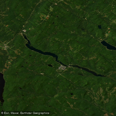
Lac Long
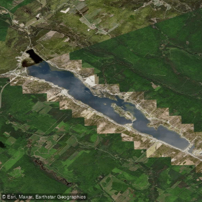
Lac Baker
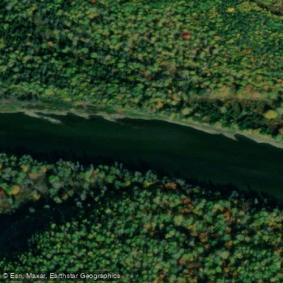
Restigouche River
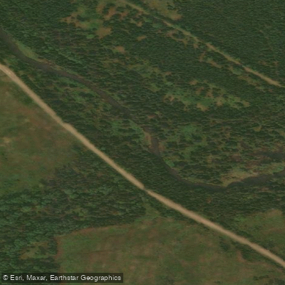
South Branch Kedgwick River
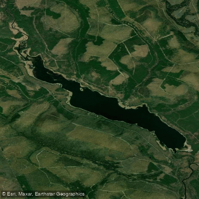
First Lake
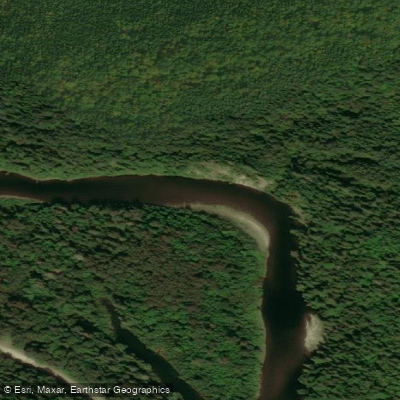
Kedgwick River
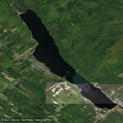
Lac Pohénégamook
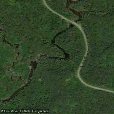
Rivière Ashberish
Explore Qc waters
Top paddling waters
No waters available right now.
Popular Cities
Loading popular cities...
Explore near Rivière Cap-Chat

Smarter Paddling Starts in the App.
Paddleways gives you everything you need to plan smarter, paddle better, and own every trip from first launch to takeout.