Frenchman River
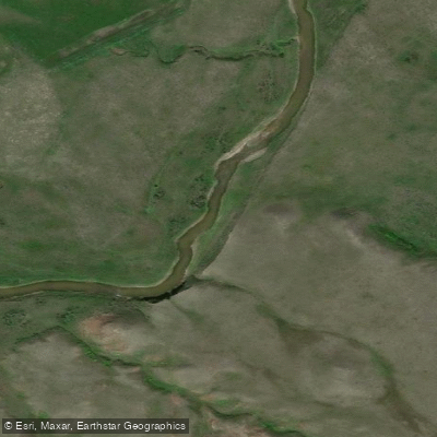
Frenchman River
- Boat Ramps
- 0
- Access Points
- 0
- Campsites
- 0
The Frenchman River flows through the West Block of Grasslands National Park in southern Saskatchewan, winding its way through open prairie toward the US border. The river is small in scale, characterized by fun riffles, tight corners, small canyons, and beaver dams that paddlers should be prepared to navigate or portage. The surrounding landscape is expansive grassland, and the area is recognized as one of Canada's dark sky reserves, making it notable for stargazing during overnight trips.
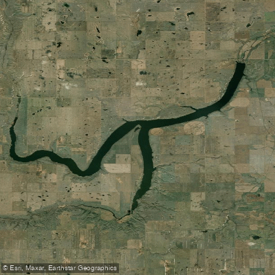
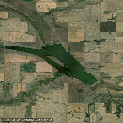
A common put-in is near 70-mile Butte, with the route heading downstream toward the US border. There is also a dam near the town of Eastend that creates a reservoir, with a boat launch on one side. Paddlers should be aware of this dam and the reservoir it creates, as navigation in the reservoir area can be disorienting, particularly when reeds and braided channels make route-finding difficult.
Late April through early May is a viable paddling season, representing an early-season window when water levels may be sufficient. Multi-day trips of approximately five to six days are feasible along this stretch, with opportunities to stop and hike the surrounding hills each day. Campsites within the national park are used along the route, and camping fees apply.
Wildlife is abundant throughout the corridor. Paddlers can expect to encounter prairie dogs, bison, and pronghorn antelope. The area also holds historical and cultural significance related to First Nations peoples, early ranchers, and homesteaders.
Given the remote and wild nature of the river, paddlers should come well prepared with safety equipment including throw bags and emergency communication devices. The combination of beaver dams, tight corners, and the river's small size suggests that whitewater experience is helpful, though the rapids are not described as technically demanding.
Water access, boat ramps & amenities
Learn how to get on Frenchman River. Uncover great paddling access points, boat ramps, and all the facilities you need for an unforgettable day on the water. Some locations shown may border or include private property. Always check property boundaries and applicable regulations before visiting. PaddleWays's Public & Private Land layer can help you plan your access with confidence.
Paddle smarter with real-time insights
Whether you're en route and conditions shift or you're looking for the best spot based on current flows, we enable you to make informed decisions on the fly.








Find Places to Paddle

Over 400,000 Places to Paddle
Every user gets free access to launch points, boat ramps, and public property parcels.


Water and weather conditions (10 day forecast)
See the best times to paddle Frenchman River and check the forecast before you go.
FRENCHMAN RIVER AT RAVENSCRAG
All Flow Stations
Explore Sk waters
Top paddling waters
No waters available right now.
Popular Cities
Loading popular cities...
Explore near Frenchman River

Smarter Paddling Starts in the App.
Paddleways gives you everything you need to plan smarter, paddle better, and own every trip from first launch to takeout.