Moose Creek
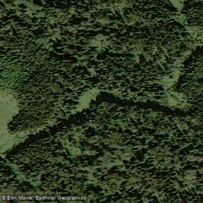
Moose Creek
- Boat Ramps
- 0
- Access Points
- 0
- Campsites
- 0
Moose Creek Reservoir is a man-made body of water in southeastern Saskatchewan, formed by the Alameda Dam. The reservoir stretches approximately 18 km in length and about 1 km in width, offering a substantial paddling area in a relatively flat, open landscape that was historically rangeland with scattered southern tree species along the shoreline.
Moose Creek Regional Park sits on the eastern shore of the reservoir, roughly 3 km north of the Alameda Dam and about 4 miles north and 1.5 miles west of Oxbow, Saskatchewan. A paved boat launch and two floating docks provide straightforward water access for paddlers. All watercraft are permitted through the park gates. The reservoir has some degree of wind protection, though paddlers should remain aware that open prairie reservoirs of this size can be subject to wind-driven chop, particularly across the wider sections.
The park operates from May through September, making summer the primary paddling season. Full-service facilities on site include electricity, water, showers, a dumping station, picnic tables, grills, and a fish filleting shack, along with group, tenting, and primitive campsites. Nearby communities of Alameda and Oxbow provide access to gas, shopping, and health care services.
The reservoir is a popular destination for fishing, with northern pike, walleye, and perch present. Pike exceeding 20 lbs. are reported as common. Paddlers should expect to share the water with motorized boats, water skiers, and wakeboarders, particularly on weekends and during peak summer months. The park can be contacted at (306) 483-2406 during the operating season.
Water access, boat ramps & amenities
Learn how to get on Moose Creek. Uncover great paddling access points, boat ramps, and all the facilities you need for an unforgettable day on the water. Some locations shown may border or include private property. Always check property boundaries and applicable regulations before visiting. PaddleWays's Public & Private Land layer can help you plan your access with confidence.
Paddle smarter with real-time insights
Whether you're en route and conditions shift or you're looking for the best spot based on current flows, we enable you to make informed decisions on the fly.








Find Places to Paddle

Over 400,000 Places to Paddle
Every user gets free access to launch points, boat ramps, and public property parcels.


Water and weather conditions (10 day forecast)
See the best times to paddle Moose Creek and check the forecast before you go.
No forecast data available.
Paddling near Moose Creek
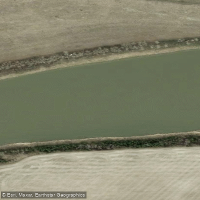
North Saskatchewan River
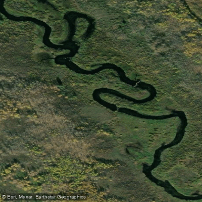
Spruce River
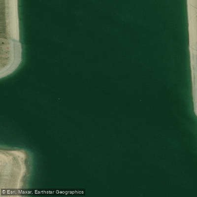
Rivière Saskatchewan Sud
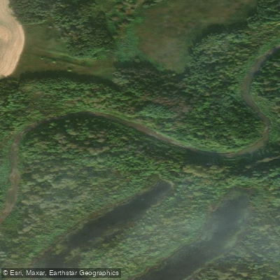
Carrot River
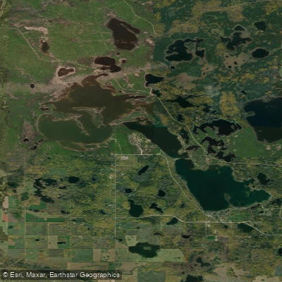
Emma Lake
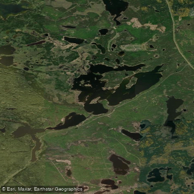
Anglin Lake
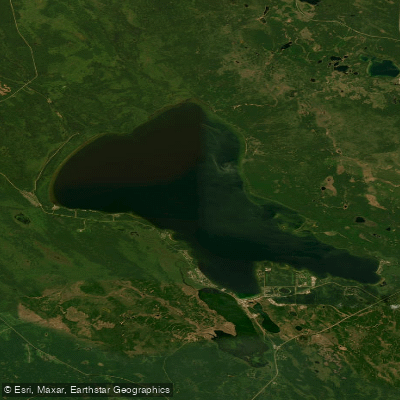
Candle Lake
Sturgeon Lake
Jumping Lake
Christopher Lake
Explore Sk waters
Top paddling waters
No waters available right now.
Popular Cities
Loading popular cities...
Explore near Moose Creek

Smarter Paddling Starts in the App.
Paddleways gives you everything you need to plan smarter, paddle better, and own every trip from first launch to takeout.