Red Deer River
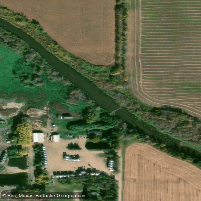
Red Deer River
- Boat Ramps
- 1
- Access Points
- 0
- Campsites
- 2
The Red Deer River in Saskatchewan flows from the town of Hudson Bay eastward to Red Deer Lake in Manitoba, covering roughly 120 kilometres in total. The river carries historical significance tied to both the fur trade and early logging, and passes through forested terrain throughout its length. It is described as a seasonally high river, meaning water levels and current speed can vary considerably depending on the time of year.
The river is considered suitable for canoe and kayak paddlers, and has been characterized as a good choice for beginners or those new to backcountry river paddling, though it is not without hazards. Rock hazards are present, particularly on the stretch between Hudson Bay Regional Park and Erwood, and paddlers should watch for them carefully. The entry point at Hudson Bay Regional Park features a stretch of rapids that can run fast and turbulent at higher water levels. The river's current slows noticeably after the Ridge Road access point.
Three designated launch and pull-out points have been established in the Hudson Bay area. Hudson Bay Regional Park serves as the primary put-in. The Ridge Road access is located downstream, with a 200-metre gradual incline from the river to the parking area. Erwood is a further downstream take-out point. Beyond Erwood, the river continues to Smokey Ridge Bridge and eventually to Red Deer Lake in Manitoba, where the exit channels are located 1.2 to 1.7 kilometres from the boat launch across open water — a consideration that requires planning for wind and open-water conditions.
Common route options include Hudson Bay Regional Park to Ridge Road, which takes approximately 2 to 3 hours depending on water level, and Hudson Bay Regional Park to Erwood, which takes about 7 hours. The Ridge Road access point is useful for paddlers who want to experience the faster-moving upper section without committing to the full day-long journey to Erwood. Paddlers requiring a shuttle should arrange their own vehicle transportation between access points. All river activities are undertaken at the paddler's own risk, and preparation is strongly advised.
Water access, boat ramps & amenities
Learn how to get on Red Deer River. Uncover great paddling access points, boat ramps, and all the facilities you need for an unforgettable day on the water. Some locations shown may border or include private property. Always check property boundaries and applicable regulations before visiting. PaddleWays's Public & Private Land layer can help you plan your access with confidence.
Paddle smarter with real-time insights
Whether you're en route and conditions shift or you're looking for the best spot based on current flows, we enable you to make informed decisions on the fly.








Find Places to Paddle

Over 400,000 Places to Paddle
Every user gets free access to launch points, boat ramps, and public property parcels.


Water and weather conditions (10 day forecast)
See the best times to paddle Red Deer River and check the forecast before you go.
RED DEER RIVER NEAR ARCHERWILL
All Flow Stations
Paddling near Red Deer River

Assiniboine River
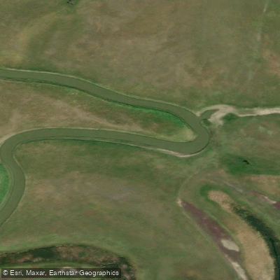
Qu'Appelle River
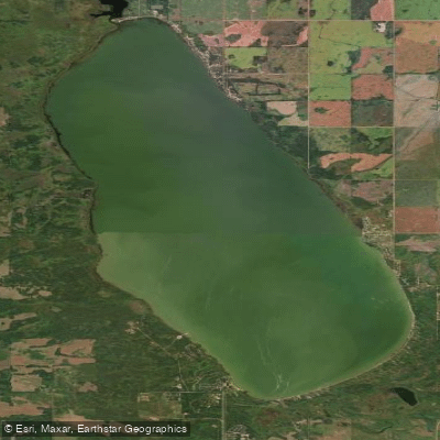
Good Spirit Lake
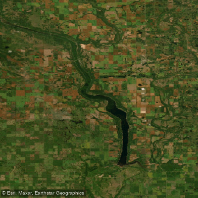
Lake of the Prairies
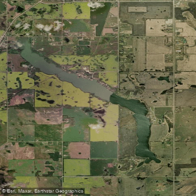
York Lake
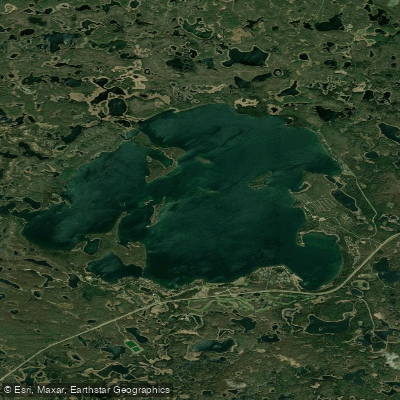
Madge Lake
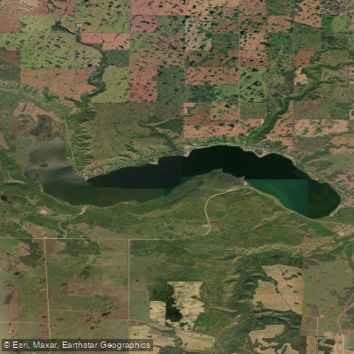
Crooked Lake
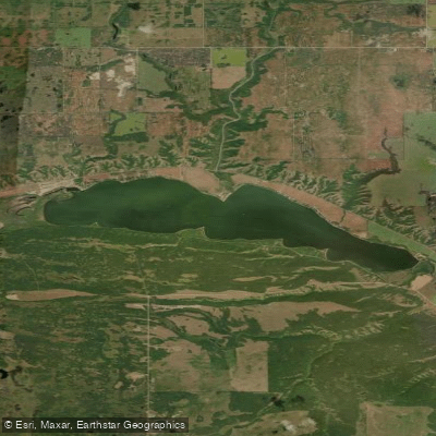
Round Lake
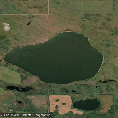
Silver Lake
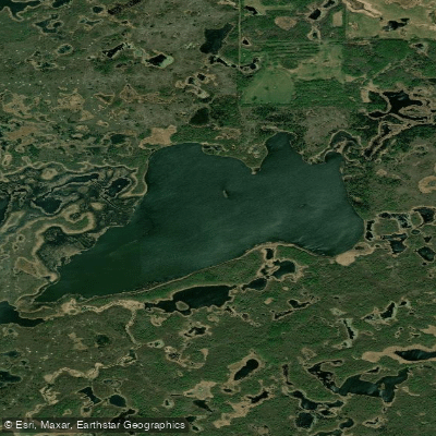
Ketchemonia Lake
Explore Sk waters
Top paddling waters
No waters available right now.
Popular Cities
Loading popular cities...
Explore near Red Deer River

Smarter Paddling Starts in the App.
Paddleways gives you everything you need to plan smarter, paddle better, and own every trip from first launch to takeout.