Smoothstone River
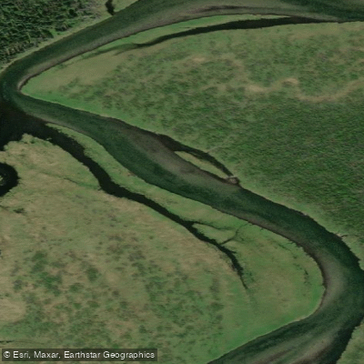
Smoothstone River
- Boat Ramps
- 0
- Access Points
- 0
- Campsites
- 0
The Smoothstone River is a boreal river in northern Saskatchewan that begins at Wabeno Lake in the Waskesiu Upland within Prince Albert National Park, at an elevation of 554 metres, and flows generally northward through boreal forests and muskeg before ending at Pinehouse Lake, a lake along the course of the Churchill River, at an elevation of 384 metres. The total elevation drop across the river's length is approximately 170 metres. The Churchill River system ultimately drains east through Manitoba into Hudson Bay.
The river's course passes through a series of lakes, the largest of which is Smoothstone Lake, situated at the western edge of the Waskesiu Upland. Along the way, the river also flows through Lavallée Lake, which hosts one of the largest concentrations of nesting American white pelicans and double-crested cormorants in Saskatchewan on Heron Island. Emmeline Lake is another named lake along the route. The surrounding landscape is characterized by boreal forest throughout.
A common paddling route begins at Smoothstone Lake and ends at the Besnard Road bridge. The river has been described by those familiar with it as a combination of lakes and Grade 1 rapids, making it a suitable learning river. One paddler noted it was used for high school outdoor education classes out of Big River, suggesting it is accessible to paddlers developing their skills. Early season, higher water conditions have been noted as potentially favorable for the river section accessible via Highway 916.
Access to the river is from Highway 916 and Highway 165. Highway 917 provides access to Smoothstone Lake and its amenities, and Highway 929 dead-ends near Selenite Bay at the lake's northern end. A put-in at Smoothstone Lake has been documented, and the Besnard Road bridge serves as a take-out point for at least one established route. Logging roads may also provide additional access points to avoid paddling the full lake section.
Water access, boat ramps & amenities
Learn how to get on Smoothstone River. Uncover great paddling access points, boat ramps, and all the facilities you need for an unforgettable day on the water. Some locations shown may border or include private property. Always check property boundaries and applicable regulations before visiting. PaddleWays's Public & Private Land layer can help you plan your access with confidence.
Paddle smarter with real-time insights
Whether you're en route and conditions shift or you're looking for the best spot based on current flows, we enable you to make informed decisions on the fly.








Find Places to Paddle

Over 400,000 Places to Paddle
Every user gets free access to launch points, boat ramps, and public property parcels.


Water and weather conditions (10 day forecast)
See the best times to paddle Smoothstone River and check the forecast before you go.
SMOOTHSTONE RIVER BELOW EMMELINE LAKE
Paddling near Smoothstone River
North Saskatchewan River
Spruce River
Rivière Saskatchewan Sud
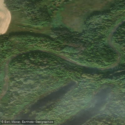
Carrot River
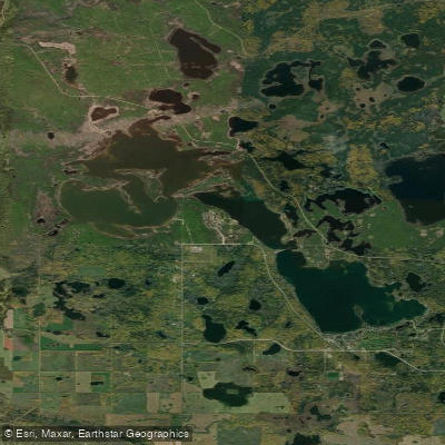
Emma Lake
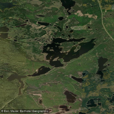
Anglin Lake
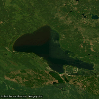
Candle Lake
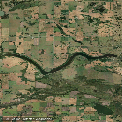
Sturgeon Lake
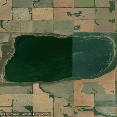
Jumping Lake
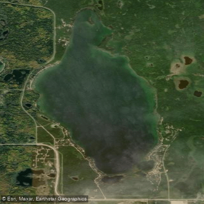
Christopher Lake
Explore Sk waters
Top paddling waters
No waters available right now.
Popular Cities
Loading popular cities...
Explore near Smoothstone River

Smarter Paddling Starts in the App.
Paddleways gives you everything you need to plan smarter, paddle better, and own every trip from first launch to takeout.