Tramping Lake
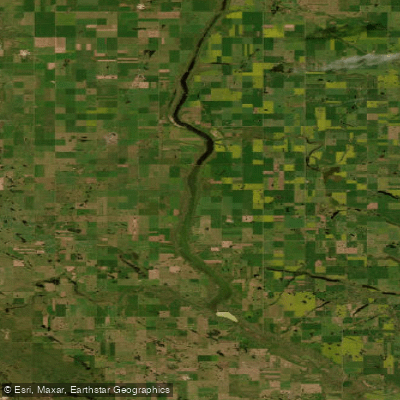
Tramping Lake
- Boat Ramps
- 0
- Access Points
- 0
- Campsites
- 1
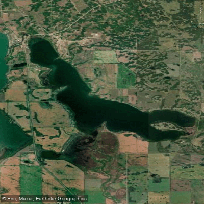
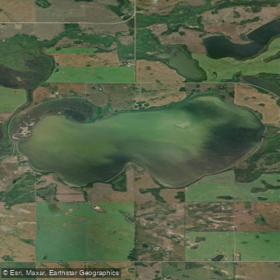
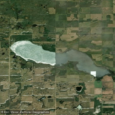
Tramping Lake is a large, shallow lake in west-central Saskatchewan, located approximately 80 kilometres south-southwest of North Battleford. The lake covers 1,468 hectares (3,630 acres) and has a maximum depth of only 4 metres (13 feet), making it notably shallow across its extent. Its shoreline stretches approximately 93 kilometres (58 miles), and the lake runs in a north-to-south orientation along the Eagle Creek Valley.
The lake sits along the course of Eagle Creek, with Eaglehill Lake upstream and the man-made Opuntia Lake downstream. At the northern end, a tributary of Eagle Creek feeds into Scott Reservoir, impounded by Scott Dam and operated by the Saskatchewan Water Security Agency. The lake forms the eastern boundary for the Rural Municipalities of Tramping Lake No. 380 and Mariposa No. 350, and the western boundary for the RMs of Reford No. 379 and Grandview No. 349. There are no permanent settlements directly on the lake.
Tramping Lake Regional Park is situated adjacent to the lake and offers at least one campground for those planning overnight stays in the area. No boat launches or marinas are currently documented for the lake. The fish species present include Walleye, White Sucker, and Yellow Perch, which may be of interest to paddlers who also fish. The fishing season runs from early May through late March of the following year.
Given the lake's very shallow maximum depth of 4 metres and its considerable surface area, paddlers should be aware that shallow lakes can be susceptible to rapid wave development in windy conditions, which is a common characteristic of the open prairie landscape of west-central Saskatchewan. The lake's elongated north-to-south orientation along the Eagle Creek Valley means that winds aligned with this axis could generate fetch across a significant portion of the lake's length.
Water access, boat ramps & amenities
Learn how to get on Tramping Lake. Uncover great paddling access points, boat ramps, and all the facilities you need for an unforgettable day on the water. Some locations shown may border or include private property. Always check property boundaries and applicable regulations before visiting. PaddleWays's Public & Private Land layer can help you plan your access with confidence.
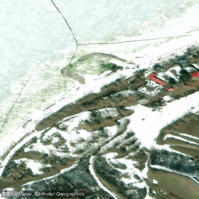
Paddle smarter with real-time insights
Whether you're en route and conditions shift or you're looking for the best spot based on current flows, we enable you to make informed decisions on the fly.








Find Places to Paddle

Over 400,000 Places to Paddle
Every user gets free access to launch points, boat ramps, and public property parcels.


Water and weather conditions (10 day forecast)
See the best times to paddle Tramping Lake and check the forecast before you go.
No forecast data available.
Paddling near Tramping Lake
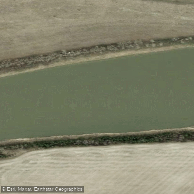
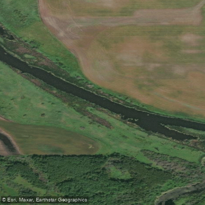
Explore Sk waters
Top paddling waters
No waters available right now.
Popular Cities
Loading popular cities...
Explore near Tramping Lake

Smarter Paddling Starts in the App.
Paddleways gives you everything you need to plan smarter, paddle better, and own every trip from first launch to takeout.