Battle River
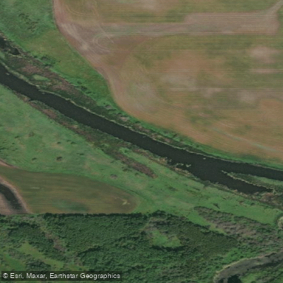
Battle River
- Boat Ramps
- 1
- Access Points
- 0
- Campsites
- 0
The Battle River is a slow-moving prairie river approximately 600 kilometres long, flowing across central Alberta and into western Saskatchewan as a tributary of the North Saskatchewan River. It is characterized by classic prairie valley scenery — wide, meandering bends set within deep valleys that offer striking views both from the water and from the surrounding uplands. The river passes through areas that touch the northern edge of the Canadian Badlands, with high banks, badlands formations, Manitoba maples, and abundant wildlife including great blue herons, pelicans, snow geese, ducks, and muskrat.
The river is generally gentle and flatwater in character, with a strong current only during spring runoff. Outside of spring, flow can be quite low, and sections downstream of Highway 13 near the headwaters become very shallow and difficult to navigate, making paddling there inadvisable except during spring runoff. Beaver dams and shallow spots are common obstacles throughout, and paddlers should be prepared to lift their boats over obstructions. Some access points involve steep or unstable banks, so scouting takeouts in advance is worthwhile.
Several named routes have been documented. The Ferry Point Route runs approximately 12 kilometres from the Edberg Weir at Highway 56 to Ferry Point Campground, taking roughly 3–4 hours; this section is relatively straight with good flow that persists later into summer. The Magical Maple Route covers about 20 kilometres from Ferry Point to Highway 854 south of Rosalind, with an estimated 5–6 hours of paddling at high flow, featuring large meanders and maple groves. The Big John Route runs from Highway 53 east of Donalda to Big Knife Provincial Park. A longer section from Fabyan (Highway 14) to Riverdale Mini-Park (Highway 41) covers approximately 24.6 kilometres. Big Knife Provincial Park offers a boat launch, parking, a day-use area, hiking trails, and a tenting area, though the impoundment from a generating station creates more of a wetland or marsh character near the launch.
Spring is the most reliable season for paddling, particularly April and May when water levels are highest and migratory birds are active. Mid-summer paddlers should monitor Alberta Health Services advisories for blue-green algae, which can occur on associated lakes and slower sections of the river. Paddlers are expected to follow all applicable traffic and boating laws, respect private property, and assess hazards before launching.
Water access, boat ramps & amenities
Learn how to get on Battle River. Uncover great paddling access points, boat ramps, and all the facilities you need for an unforgettable day on the water. Some locations shown may border or include private property. Always check property boundaries and applicable regulations before visiting. PaddleWays's Public & Private Land layer can help you plan your access with confidence.
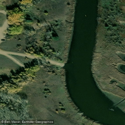
Paddle smarter with real-time insights
Whether you're en route and conditions shift or you're looking for the best spot based on current flows, we enable you to make informed decisions on the fly.







Ab licenses and regulations
No licenses or regulations available for Ab.
Find Places to Paddle

Over 400,000 Places to Paddle
Every user gets free access to launch points, boat ramps, and public property parcels.


Water and weather conditions (10 day forecast)
See the best times to paddle Battle River and check the forecast before you go.
BATTLE RIVER NEAR PONOKA
All Flow Stations
Explore Ab waters
Top paddling waters
No waters available right now.
Popular Cities
Loading popular cities...
Explore near Battle River
Access points
More in Ab

Smarter Paddling Starts in the App.
Paddleways gives you everything you need to plan smarter, paddle better, and own every trip from first launch to takeout.