Eagle Creek
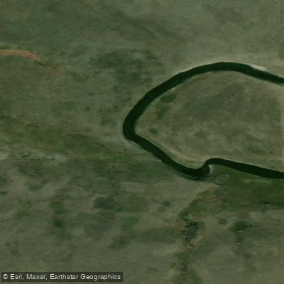
Eagle Creek
- Boat Ramps
- 0
- Access Points
- 0
- Campsites
- 1
Eagle Creek is a spring-only paddling destination in mid-western Saskatchewan, flowing northward through a glacier-cut valley in the moist mixed grasslands ecozone before joining the North Saskatchewan River. The creek drains a watershed within the semi-arid Palliser's Triangle and winds through rolling hills dotted with brushy scrubs of trees, offering a visually varied prairie valley landscape.
The paddling window is narrow — typically one to two weeks, usually beginning around mid-April as snowmelt drives a sharp rise in discharge. Water levels can drop a full foot within 24 hours once the peak passes, so flexibility is essential. The Water Security Agency operates a discharge monitoring station near Environ; the optimal flow range for paddling is between 5 and 15 cubic metres per second. An alternative field gauge is available at the Highway 376 bridge downstream from the regional park: 14 boards visible between the water surface and the underside of the bridge indicates good volume, while 17 boards indicates lower but still adequate levels.
The standard run covers approximately 23 kilometres and takes roughly six hours. The put-in is at Eagle Creek Regional Park, accessible from Highway 376 approximately 37 kilometres west of Saskatoon on Highway 14, then 20 kilometres north. The take-out is at the Ed and May Scissions Environmental Centre, reached via Highway 16 northwest from Saskatoon and then west on grid road 784. A vehicle shuttle is recommended so transport is waiting at the take-out.
The character of the creek is predominantly swift water with Class I and occasional Class II rapids. The most notable rapids are concentrated just after the put-in and just before the take-out. At optimal levels, several surfable waves form. At higher flows, wave size increases but some smaller features wash out. An intermediate to advanced skill level is recommended due to cold water, cold air temperatures, and the potential for floating debris including ice, logs, and fences.
Eagle Creek Regional Park offers camping with electrical and non-electrical sites, a boat launch, washrooms, and a concession. Fishing is permitted in the creek, with the exception of within 150 metres on either side of the bridge within the park.
Water access, boat ramps & amenities
Learn how to get on Eagle Creek. Uncover great paddling access points, boat ramps, and all the facilities you need for an unforgettable day on the water. Some locations shown may border or include private property. Always check property boundaries and applicable regulations before visiting. PaddleWays's Public & Private Land layer can help you plan your access with confidence.
Paddle smarter with real-time insights
Whether you're en route and conditions shift or you're looking for the best spot based on current flows, we enable you to make informed decisions on the fly.








Find Places to Paddle

Over 400,000 Places to Paddle
Every user gets free access to launch points, boat ramps, and public property parcels.


Water and weather conditions (10 day forecast)
See the best times to paddle Eagle Creek and check the forecast before you go.
EAGLE CREEK NEAR ENVIRON
Paddling near Eagle Creek
Rivière Saskatchewan Sud
North Saskatchewan River
Blackstrap Reservoir
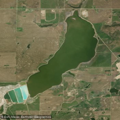
Patience Lake
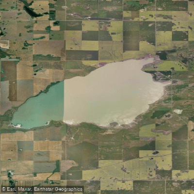
Buffer Lake
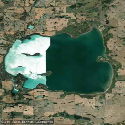
Redberry Lake
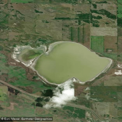
Radisson Lake
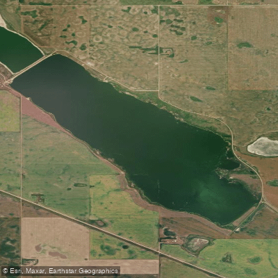
Zelma Reservoir
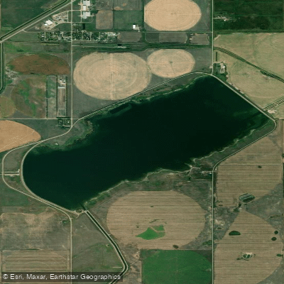
Broderick Reservoir
Explore Sk waters
Top paddling waters
No waters available right now.
Popular Cities
Loading popular cities...
Explore near Eagle Creek

Smarter Paddling Starts in the App.
Paddleways gives you everything you need to plan smarter, paddle better, and own every trip from first launch to takeout.