Río Cisnes
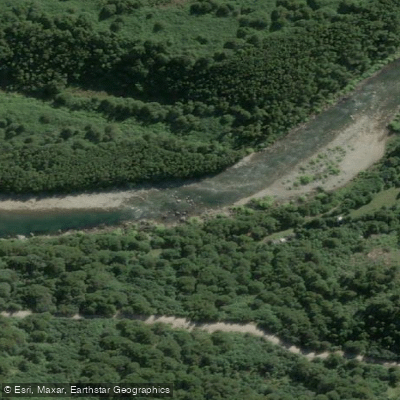
Río Cisnes
- Boat Ramps
- 0
- Access Points
- 0
- Campsites
- 3
The Río Cisnes is a 160-kilometer river in the Aysén del General Carlos Ibáñez del Campo Region of Chilean Patagonia, draining a basin of approximately 5,464 square kilometers. It flows in a general east-to-west direction from the mountains near the Argentine border, eventually emptying into the Puyuhuapi Channel and the Pacific Ocean near the coastal town of Puerto Cisnes. The river carries an average discharge of around 700 cubic meters per second, reflecting the substantial volume of water moving through this system.
One of the river's most distinctive visual characteristics is its turquoise-blue color, which results from glacial sediments suspended in the water. Major tributaries include the Moro and Pinchado rivers. The mouth of the river sits adjacent to Puerto Cisnes, a town of approximately 7,000 inhabitants that serves as the largest urban center in the Cisnes commune and the second-largest port in the Aysén region. The town is situated on a small bay of the Puyuhuapi Channel, across from Parque Nacional Isla Magdalena.
The climate along the Río Cisnes is classified as Mediterranean continental with warm summers (Köppen Dsb), meaning at least four months average above 10°C (50°F) and at least one month averages below 0°C (32°F). This continental character distinguishes it from the wetter coastal zones of Patagonia and has implications for seasonal planning. The river is also visible from a lookout point along the Carretera Austral, the main road corridor through this part of Patagonia, which provides a reference point for access and orientation along the route.
Water access, boat ramps & amenities
Learn how to get on Río Cisnes. Uncover great paddling access points, boat ramps, and all the facilities you need for an unforgettable day on the water. Some locations shown may border or include private property. Always check property boundaries and applicable regulations before visiting. PaddleWays's Public & Private Land layer can help you plan your access with confidence.
Paddle smarter with real-time insights
Whether you're en route and conditions shift or you're looking for the best spot based on current flows, we enable you to make informed decisions on the fly.







Aysén licenses and regulations
No licenses or regulations available for Aysén.
Find Places to Paddle

Over 400,000 Places to Paddle
Every user gets free access to launch points, boat ramps, and public property parcels.


Water and weather conditions (10 day forecast)
See the best times to paddle Río Cisnes and check the forecast before you go.
Rio Cisnes En Estancia Rio Cisnes
All Flow Stations
Paddling near Río Cisnes
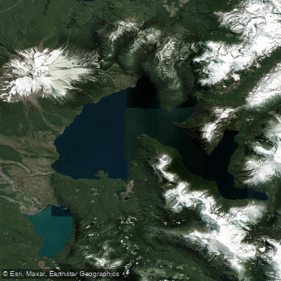
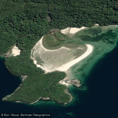
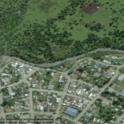
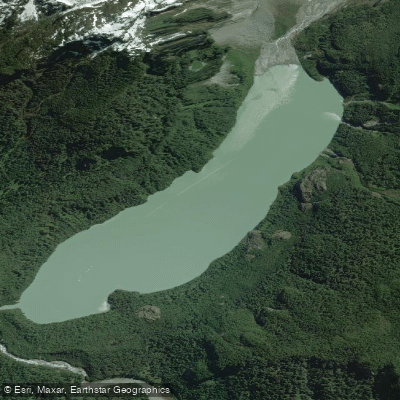
Explore Aysén waters
Top paddling waters
No waters available right now.
Popular Cities
Loading popular cities...
Explore near Río Cisnes

Smarter Paddling Starts in the App.
Paddleways gives you everything you need to plan smarter, paddle better, and own every trip from first launch to takeout.