Río Pascua
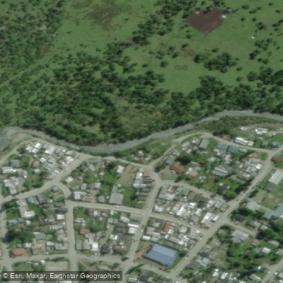
Río Pascua
- Boat Ramps
- 0
- Access Points
- 2
- Campsites
- 6
The Río Pascua is a 62-kilometer river in the Aysén del General Carlos Ibáñez del Campo Region of Chilean Patagonia. Despite its relatively short length, it drains a basin of approximately 14,760 square kilometers — the seventh-largest drainage basin in Chile — owing to the enormous O'Higgins/San Martín Lake, which serves as its source. The river carries an average discharge of 574 cubic meters per second and flows westward before emptying into the Baker Channel on the Pacific coast.
The river originates at the northwestern arm of Lago O'Higgins, emerging as a stream in terrain characterized by steep-sided mountains exceeding 1,000 meters in elevation, with glaciers descending directly to the lake and river margins. The surrounding landscape is remote Patagonian wilderness, and the lower reaches near the coast include areas where icebergs occasionally beach along the shoreline. The broader Aysén region is historically a ranching area, settled by homesteaders in the early 20th century, and remnants of that culture — including abandoned ranches — are visible along the river corridor.
Paddling the Pascua is a serious undertaking in a genuinely remote environment. The river passes through a canyon section, and conditions on the lower reaches approaching the Baker Channel can involve exposed coastal waters subject to storm-force winds. One documented kayaking journey described paddling hard through stormy seas near the river's mouth, underscoring the demanding nature of the lower section. The river's high average discharge and the glacially influenced terrain suggest cold water temperatures throughout the year.
The river was first documented by German explorer Hans Steffen in 1898, during an expedition conducted around Christmas time — the name "Pascua" reflects this, as the word is commonly used in Chilean Spanish to refer to the Christmas season. The Pascua gained international attention in the 2010s as the site of a proposed large-scale hydroelectric project that would have placed multiple dams along its course; that project was ultimately not built, leaving the river in its free-flowing state.
Access to the Río Pascua is logistically complex given the remoteness of the Aysén region, and any expedition here requires thorough preparation for extended wilderness travel in a high-rainfall, high-wind Patagonian environment.
Water access, boat ramps & amenities
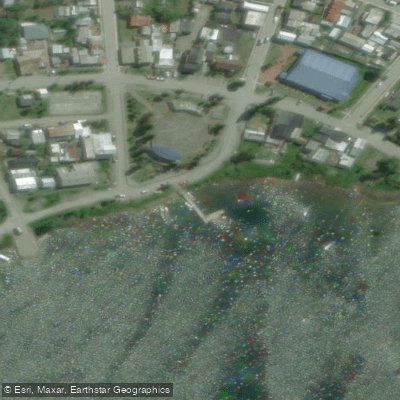
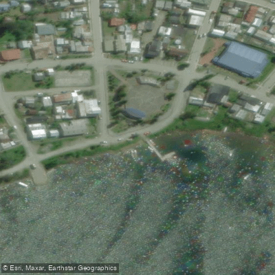
Learn how to get on Río Pascua. Uncover great paddling access points, boat ramps, and all the facilities you need for an unforgettable day on the water. Some locations shown may border or include private property. Always check property boundaries and applicable regulations before visiting. PaddleWays's Public & Private Land layer can help you plan your access with confidence.
Paddle smarter with real-time insights
Whether you're en route and conditions shift or you're looking for the best spot based on current flows, we enable you to make informed decisions on the fly.







Aysén licenses and regulations
No licenses or regulations available for Aysén.
Find Places to Paddle

Over 400,000 Places to Paddle
Every user gets free access to launch points, boat ramps, and public property parcels.


Water and weather conditions (10 day forecast)
See the best times to paddle Río Pascua and check the forecast before you go.
No forecast data available.
Paddling near Río Pascua
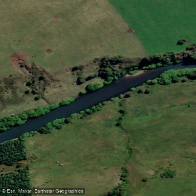
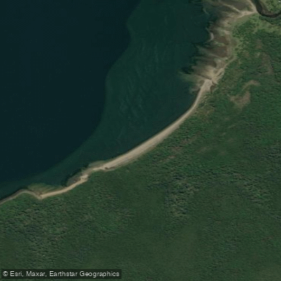
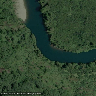
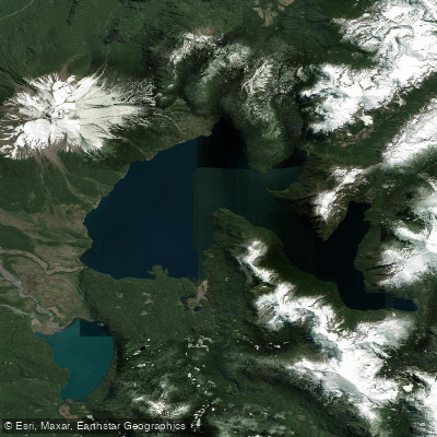
Explore Aysén waters
Top paddling waters
No waters available right now.
Popular Cities
Loading popular cities...
Explore near Río Pascua
Access points
Nearby waters
More in Aysén

Smarter Paddling Starts in the App.
Paddleways gives you everything you need to plan smarter, paddle better, and own every trip from first launch to takeout.