Río Biobío
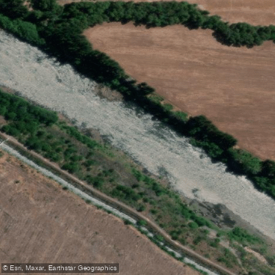
Río Biobío
- Boat Ramps
- 0
- Access Points
- 6
- Campsites
- 1
The Río Biobío originates near Lago Galletue in the Chilean Andes and flows northward through the Biobío Region, growing substantially in volume along its course. At the traditional put-in below the outlet of Lago Galletue, the river carries roughly 1,000 cubic feet per second; by the time paddlers reach the take-out near Santa Bárbara, flows typically reach 2,000 to 3,000 cubic feet per second. Even at the height of summer, the snow-fed water remains cold, around 55°F (approximately 13°C).
The upper river begins with Class I and II rapids that are sometimes technical but manageable, passing through a steep mountain valley forested with Antarctic beech (Nothofagus), Araucaria, and wild fuchsia vines. Downstream, the character changes dramatically, with the river producing serious Class IV and higher whitewater, including notoriously difficult rapid sequences that have historically required scouting and portaging. The lower Biobío is characterized by high-volume, big-water paddling with powerful hydraulics, large waves, and significant consequences for swimmers. Commercial operators have historically required guides with a minimum of five years of river experience for trips on this stretch.
The river flows through the ancestral territory of the Mapuche-Pehuenche people, for whom it holds deep cultural and spiritual significance. The Alto Biobío was once considered the most biologically diverse region in Chile. The construction of the Pangue dam (1994) and Ralco dam (2004) significantly altered the upper river's hydrology and character. Dam releases on the lower Biobío can produce substantial additional volume, and paddlers should be aware that flows may be affected by hydroelectric operations. A third dam has since been constructed, and further projects have been proposed.
The scenery along the corridor includes views of snow-covered Andean peaks, volcanic summits, and dense native forest. The river's water has been described as crystal blue to green in appearance. Santa Bárbara serves as a historical take-out reference point for multi-day descents. Given the remote nature of much of the river, self-rescue capability and thorough scouting of unfamiliar rapids are essential. The combination of high volume, cold water, and committing canyon sections makes this a river suited to experienced whitewater paddlers.
Water access, boat ramps & amenities
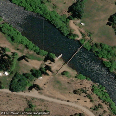
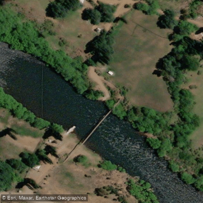
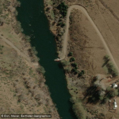
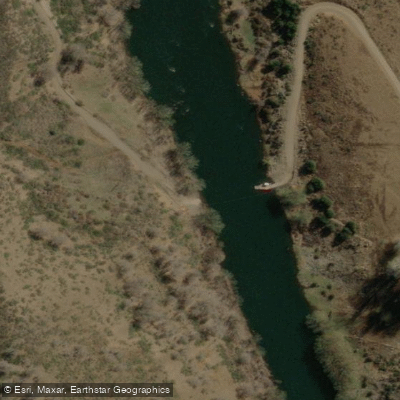
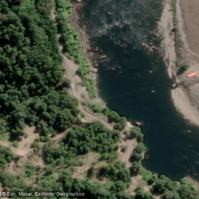
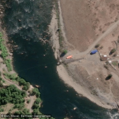
Learn how to get on Río Biobío. Uncover great paddling access points, boat ramps, and all the facilities you need for an unforgettable day on the water. Some locations shown may border or include private property. Always check property boundaries and applicable regulations before visiting. PaddleWays's Public & Private Land layer can help you plan your access with confidence.
Paddle smarter with real-time insights
Whether you're en route and conditions shift or you're looking for the best spot based on current flows, we enable you to make informed decisions on the fly.







Biobío licenses and regulations
No licenses or regulations available for Biobío.
Find Places to Paddle

Over 400,000 Places to Paddle
Every user gets free access to launch points, boat ramps, and public property parcels.


Water and weather conditions (10 day forecast)
See the best times to paddle Río Biobío and check the forecast before you go.
Rio Bio-Bio En Llanquen
All Flow Stations
Paddling near Río Biobío
Río Laja
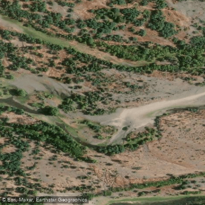
Río Itata
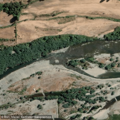
Río Diguillín
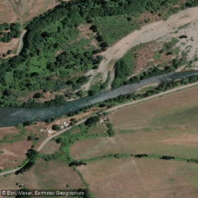
Río Duqueco
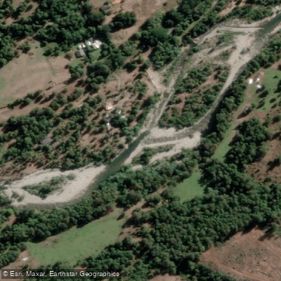
Río Huequecura
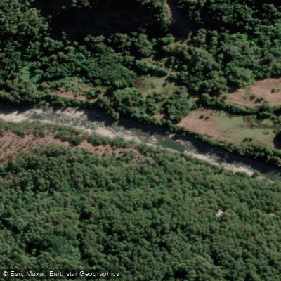
Río Cholguán
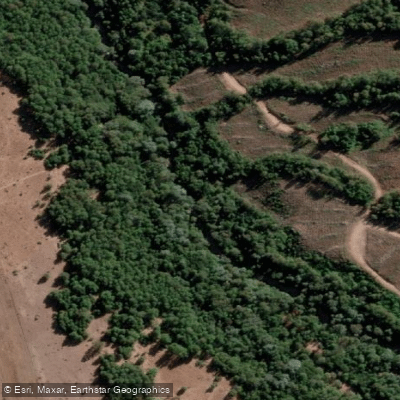
Río Cañicura
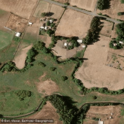
Estero Quilque
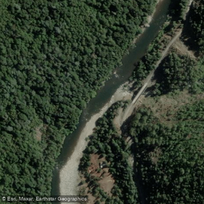
Río Queuco
Explore Biobío waters
Top paddling waters
No waters available right now.
Popular Cities
Loading popular cities...
Explore near Río Biobío
Access points
Nearby waters
More in Biobío

Smarter Paddling Starts in the App.
Paddleways gives you everything you need to plan smarter, paddle better, and own every trip from first launch to takeout.