Laguna del Laja
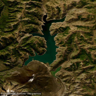
Laguna del Laja
- Boat Ramps
- 0
- Access Points
- 0
- Campsites
- 0
Laguna del Laja is a large high-altitude lake situated in the Biobío Region of Chile, within the Andes at an elevation of approximately 1,360 meters above sea level. It stretches roughly 32.5 kilometers in length and up to 10 kilometers in width, covering a surface area of about 128 square kilometers. The lake reaches an average depth of around 54 meters and a maximum depth of approximately 135 meters, with a total water volume estimated at 6.92 cubic kilometers. It is described as the largest natural reservoir in Chile. The lake is the primary source of the Laja River, which drains from it downstream.
The lake borders Laguna del Laja National Park, established in 1958, though the lake itself lies just outside the park boundaries. The surrounding landscape is dominated by dramatic volcanic terrain, including the Antuco Volcano at 2,985 meters and the Sierra Velluda at 3,585 meters, both of which feature glaciers and snowfields. The area falls within the Valdivian temperate forests ecoregion, with notable vegetation including ciprés de la cordillera, araucaria, maitén del Chubut, and radal enano. Wildlife in the broader park area includes cougars, chilla and culpeo foxes, and 47 identified bird species, as well as the South Andean deer.
Access to the area is via the Los Ángeles–Antuco–Laguna del Laja road. The first 82 kilometers from Los Ángeles are paved as far as Abanico, with the remaining section unpaved but passable year-round; snow chains are recommended during winter months (July–August) for access to higher elevations. The park infrastructure includes an environmental information center, miradores, camping areas, and fishing zones. The park sees its highest visitor numbers during winter due to the Antuco ski center, though the area is accessible throughout the year.
The climate at lake level is described as moderate, with temperature variation between day and night, while higher elevations experience cold conditions. Winter brings snow to the surrounding peaks and upper terrain. Rowing is listed among the activities available in the broader Alto del Biobío destination area that includes Laguna del Laja, suggesting paddling is practiced on the lake, though no specific launch points or paddling routes are detailed.
Water access, boat ramps & amenities
Learn how to get on Laguna del Laja. Uncover great paddling access points, boat ramps, and all the facilities you need for an unforgettable day on the water. Some locations shown may border or include private property. Always check property boundaries and applicable regulations before visiting. PaddleWays's Public & Private Land layer can help you plan your access with confidence.
Paddle smarter with real-time insights
Whether you're en route and conditions shift or you're looking for the best spot based on current flows, we enable you to make informed decisions on the fly.







Biobío licenses and regulations
No licenses or regulations available for Biobío.
Find Places to Paddle

Over 400,000 Places to Paddle
Every user gets free access to launch points, boat ramps, and public property parcels.


Water and weather conditions (10 day forecast)
See the best times to paddle Laguna del Laja and check the forecast before you go.
No forecast data available.
Paddling near Laguna del Laja
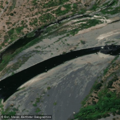
Río Laja
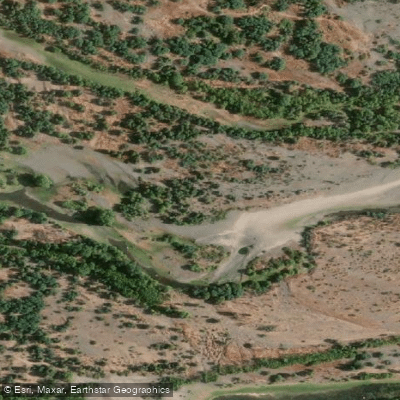
Río Itata
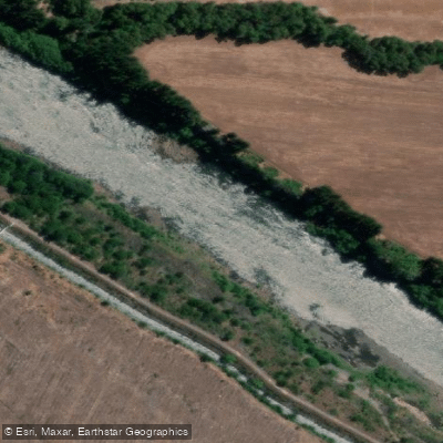
Río Biobío
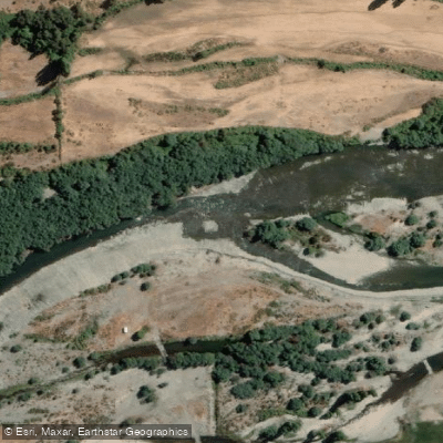
Río Diguillín
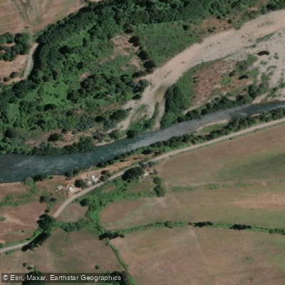
Río Duqueco
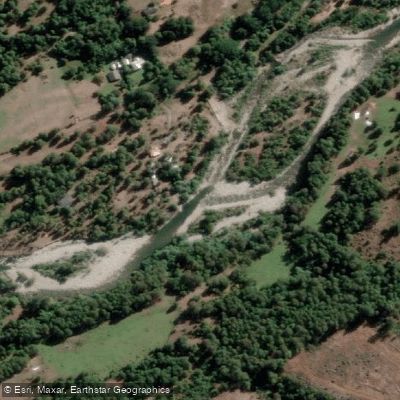
Río Huequecura
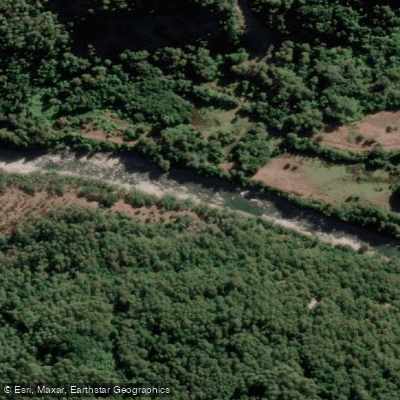
Río Cholguán
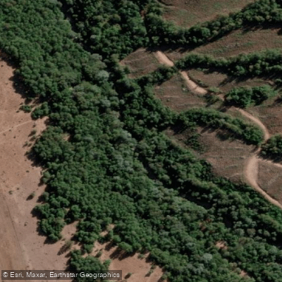
Río Cañicura
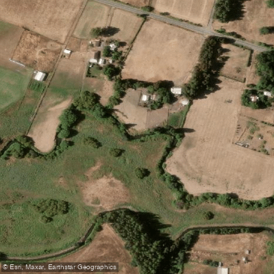
Estero Quilque
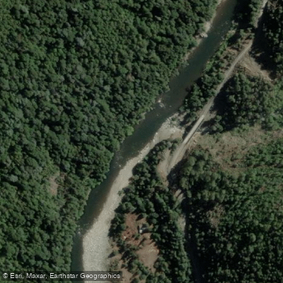
Río Queuco
Explore Biobío waters
Top paddling waters
No waters available right now.
Popular Cities
Loading popular cities...
Explore near Laguna del Laja

Smarter Paddling Starts in the App.
Paddleways gives you everything you need to plan smarter, paddle better, and own every trip from first launch to takeout.