Río Lolco
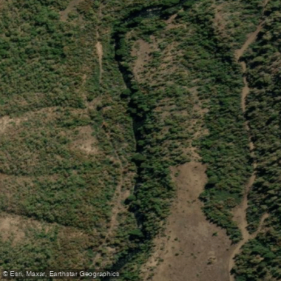
Río Lolco
- Boat Ramps
- 0
- Access Points
- 0
- Campsites
- 0
The Río Lolco is an isolated tributary of the upper Bío Bío watershed in the Araucanía Region, draining the northern flanks of both Volcán Lonquimay and Volcán Tolhuaca. In the local Mapudungun language, "Lolco" translates roughly as "Earth Water." The river flows through an exceptionally clear watershed, with old-growth Coigüe trees and occasional Araucaria adding to its distinctive character.
The run carries approximately 500 CFS at the takeout. At the put-in the river is relatively small, but it roughly doubles in volume after the confluence with the Río de la Nalcas, which descends from the slopes of Volcán Tolhuaca. The route proceeds to Villacura. Access at the takeout involves a locked gate on the main road, requiring a roughly ten-minute hike with boats back up to the road where a shuttle vehicle can be left.
The paddling is predominantly class 3, with one notable exception: a class 4+ canyon located approximately 4 km into the run. This canyon contains one very distinct drop that has caught paddlers off guard on first descents, so prior scouting is advisable. The first recorded descent was made in December 2016.
The broader landscape carries significant geological interest. Lago Lolco, formed in September 1989 when a lava flow from the Cono Navidad vent dammed the river, is considered the youngest lake in Chile. The flooding inundated a forest of Araucaria and Nothofagus, whose remnants remain visible. The southern shore of the lake borders an older lava flow from the Cordón Fisural Oriental, believed to date from the 17th century and now covered with vegetation including Araucaria and Nothofagus. This geological history is part of the Kütralkura Geopark, which encompasses the area around Lonquimay.
Water access, boat ramps & amenities
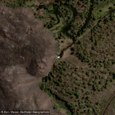
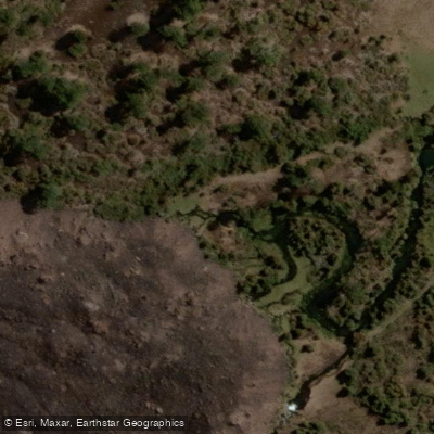
Learn how to get on Río Lolco. Uncover great paddling access points, boat ramps, and all the facilities you need for an unforgettable day on the water. Some locations shown may border or include private property. Always check property boundaries and applicable regulations before visiting. PaddleWays's Public & Private Land layer can help you plan your access with confidence.
Paddle smarter with real-time insights
Whether you're en route and conditions shift or you're looking for the best spot based on current flows, we enable you to make informed decisions on the fly.







Biobío licenses and regulations
No licenses or regulations available for Biobío.
Find Places to Paddle

Over 400,000 Places to Paddle
Every user gets free access to launch points, boat ramps, and public property parcels.


Water and weather conditions (10 day forecast)
See the best times to paddle Río Lolco and check the forecast before you go.
No forecast data available.
Paddling near Río Lolco
Río Cautín
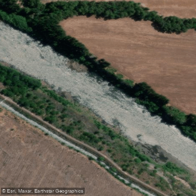
Río Biobío
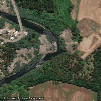
Río Quepe
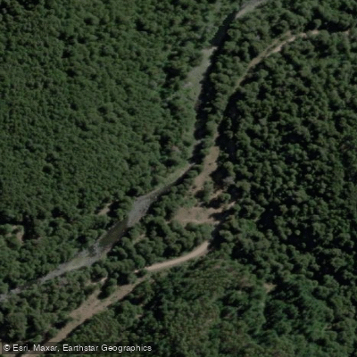
Río Niblinto
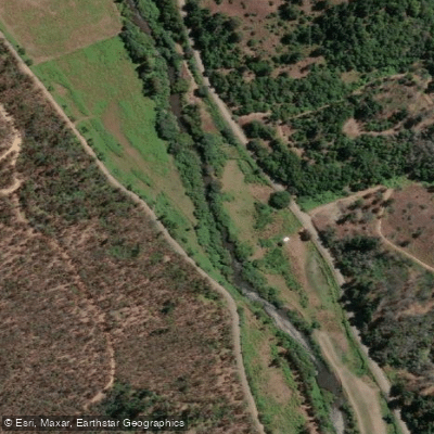
Río Lumaco
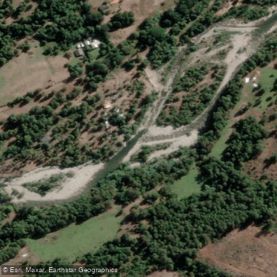
Río Huequecura
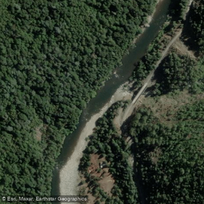
Río Queuco
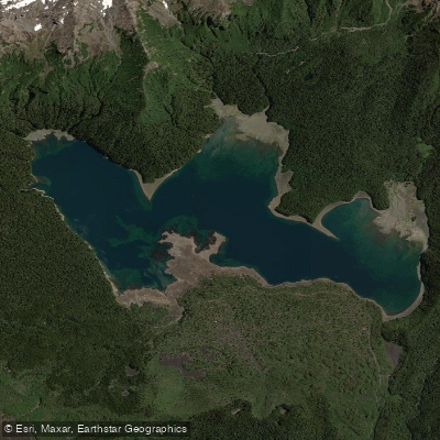
Lago Conguillío
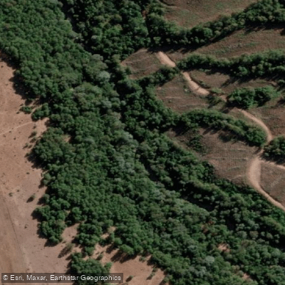
Río Cañicura
Explore Biobío waters
Top paddling waters
No waters available right now.
Popular Cities
Loading popular cities...
Explore near Río Lolco
Access points
Nearby waters
More in Biobío

Smarter Paddling Starts in the App.
Paddleways gives you everything you need to plan smarter, paddle better, and own every trip from first launch to takeout.