Río Niblinto
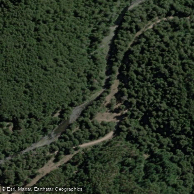
Río Niblinto
- Boat Ramps
- 0
- Access Points
- 0
- Campsites
- 0
The Río Niblinto de Malleco is a small-volume, class 2-3 tributary of the Malleco River, flowing out of the Reserva Nacional Malleco in Chile's Araucania Region (9th Region). The river carries crystal clear water and runs through a corridor of native forest and verdant vegetation, even though the surrounding hills have been heavily logged. The run covers a section with an average gradient of 15 meters per kilometer (75 feet per mile), making for a moderately engaging paddle.
The recommended put-in is at Puente Centenario, located at the park headquarters, at an elevation of approximately 575 meters. To reach the takeout at Puente Niblinto, paddlers leave Ruta 5 at Collipulli, follow a paved road 9.7 km through Curaco, continue another 31.7 km to the end of the pavement, then turn right and drive 17.2 km on gravel road to the bridge. From the takeout, cross the bridge and continue 7.1 km to reach the put-in at Puente Centenario.
The river is best run after significant rainfall or during the high-water winter months of July and August. Ideal flows are anything above 10 cubic meters per second (approximately 300 CFS). Outside of these conditions, the river may not be sufficiently runnable given its small volume. Paddlers planning a trip should time their visit accordingly, as this is not a year-round run.
There are campsites available along the river, providing options for overnight trips. The topographic map covering the area is titled Laguna Malleco 051, which is useful for trip planning. Nearby attractions include the Termas Tolhuaca hot springs. Other rivers in the vicinity that paddlers may wish to combine with a trip include the Malleco, Dillo, Renaico, Amargo, Cautín, Captren, and Blanco del Sur.
Water access, boat ramps & amenities
Learn how to get on Río Niblinto. Uncover great paddling access points, boat ramps, and all the facilities you need for an unforgettable day on the water. Some locations shown may border or include private property. Always check property boundaries and applicable regulations before visiting. PaddleWays's Public & Private Land layer can help you plan your access with confidence.
Paddle smarter with real-time insights
Whether you're en route and conditions shift or you're looking for the best spot based on current flows, we enable you to make informed decisions on the fly.







La Araucanía licenses and regulations
No licenses or regulations available for La Araucanía.
Find Places to Paddle

Over 400,000 Places to Paddle
Every user gets free access to launch points, boat ramps, and public property parcels.


Water and weather conditions (10 day forecast)
See the best times to paddle Río Niblinto and check the forecast before you go.
No forecast data available.
Paddling near Río Niblinto
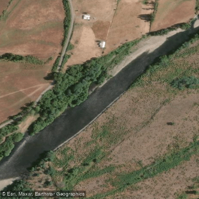
Río Cautín
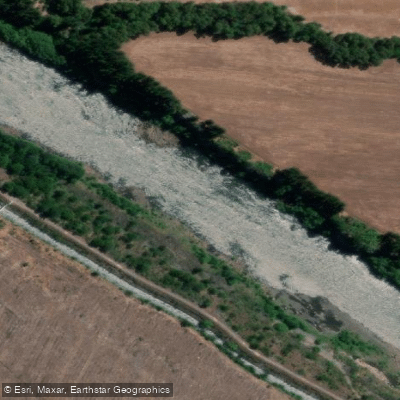
Río Biobío
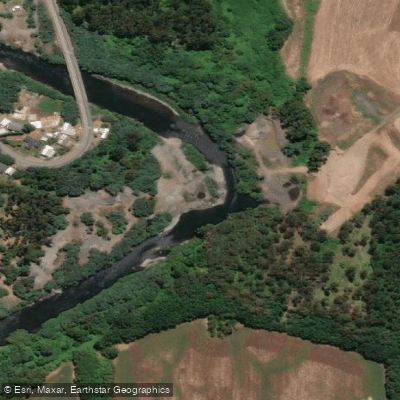
Río Quepe
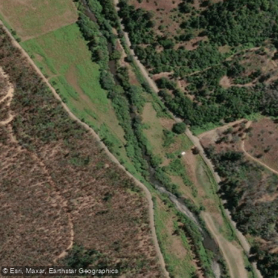
Río Lumaco
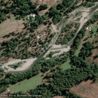
Río Huequecura
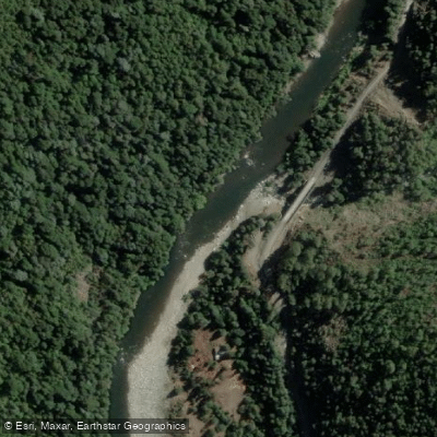
Río Queuco
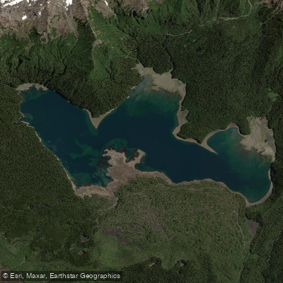
Lago Conguillío
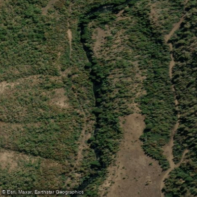
Río Lolco
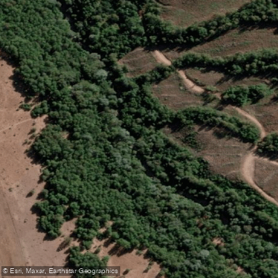
Río Cañicura
Explore La Araucanía waters
Top paddling waters
No waters available right now.
Popular Cities
Loading popular cities...
Explore near Río Niblinto
Access points
Nearby waters
More in La Araucanía

Smarter Paddling Starts in the App.
Paddleways gives you everything you need to plan smarter, paddle better, and own every trip from first launch to takeout.