Río Quepe
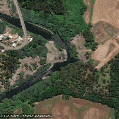
Río Quepe
- Boat Ramps
- 0
- Access Points
- 1
- Campsites
- 0
The Río Quepe originates in the lake of the same name near Llaima volcano and flows approximately 112 kilometers before joining the Cautín River near the locality of Almagro, just upstream of where the Cautín and Chol Chol rivers converge to form the Imperial River. The river drains a volcanic landscape in the La Araucanía Region of southern Chile.
For paddlers, the Río Quepe presents a demanding and committing experience. While the whitewater might initially be characterized as class 3, the overall run is more accurately rated class 4 due to the committing nature of the canyon sections and at least one rapid that reaches class 5 or above, requiring a long portage. The combination of committing terrain and that significant technical crux means paddlers should approach this river with a conservative assessment of their skills relative to the stated class ratings. The run is not a casual undertaking, and the difficulty can feel more serious than the numbers alone suggest given the remote or committing character of the canyon.
Paddlers planning a trip to this river should be aware that the area around Melipeuco serves as a gateway to the broader Araucanía volcanic zone, and private transportation services operate between Temuco's airport and destinations in the region, which may assist with logistics.
Water access, boat ramps & amenities
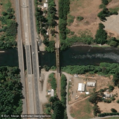
Learn how to get on Río Quepe. Uncover great paddling access points, boat ramps, and all the facilities you need for an unforgettable day on the water. Some locations shown may border or include private property. Always check property boundaries and applicable regulations before visiting. PaddleWays's Public & Private Land layer can help you plan your access with confidence.
Paddle smarter with real-time insights
Whether you're en route and conditions shift or you're looking for the best spot based on current flows, we enable you to make informed decisions on the fly.







La Araucanía licenses and regulations
No licenses or regulations available for La Araucanía.
Find Places to Paddle

Over 400,000 Places to Paddle
Every user gets free access to launch points, boat ramps, and public property parcels.


Water and weather conditions (10 day forecast)
See the best times to paddle Río Quepe and check the forecast before you go.
Rio Quepe En Vilcun
All Flow Stations
Paddling near Río Quepe
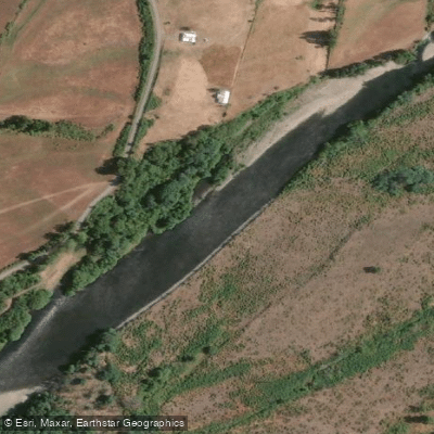
Río Cautín

Río Toltén
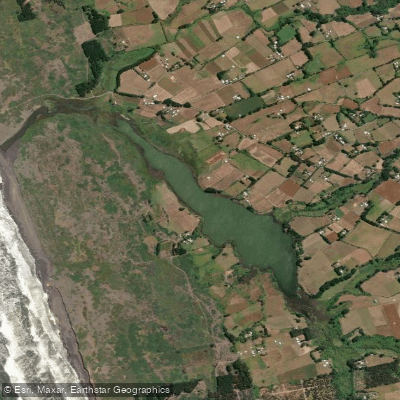
Laguna Puyehue
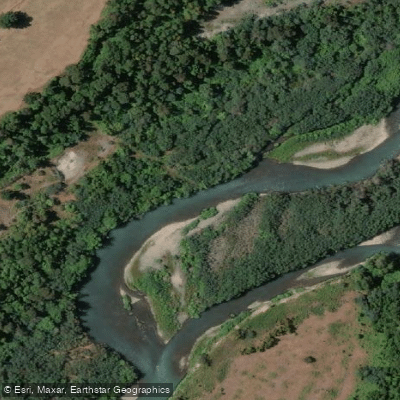
Río Allipén
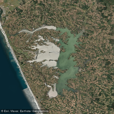
Lago Budi
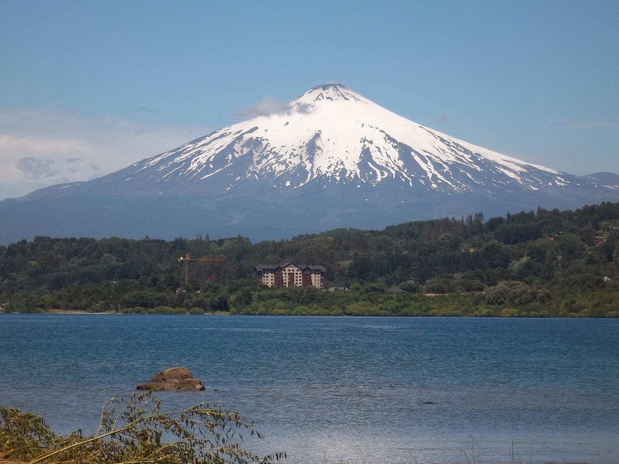
Lago Villarrica
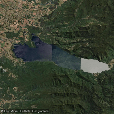
Lago Colico
Lago Caburgua
Río Quinque
Explore La Araucanía waters
Top paddling waters
No waters available right now.
Popular Cities
Loading popular cities...
Explore near Río Quepe
Access points
Nearby waters
More in La Araucanía

Smarter Paddling Starts in the App.
Paddleways gives you everything you need to plan smarter, paddle better, and own every trip from first launch to takeout.