Paddling in La Araucanía
- Lakes
- 130
- Rivers
- 141
- Access
- 32
- Boat Ramps
- 7
- Shops
- 2
La Araucanía sits in Chile's southern lake district, where the Andes drop toward a landscape of volcanoes, ancient araucaria forest, and rivers fed by snowmelt and rain.
The paddling here is predominantly whitewater — technical, varied, and concentrated around the town of Pucón, which functions as the practical base for most visiting paddlers. The lakes are real too, but it's the rivers that define the scene.
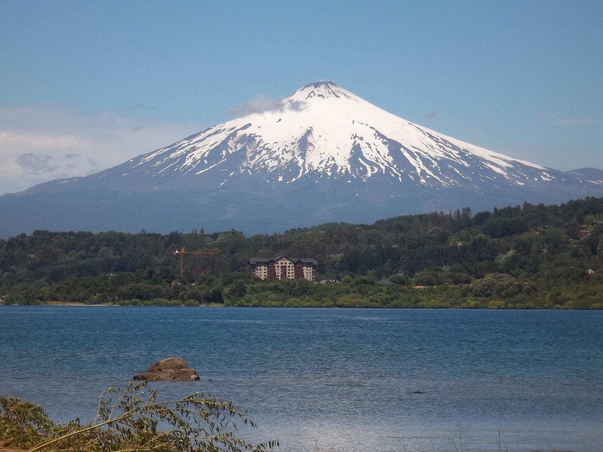
The Río Trancura is the axis around which Pucón's paddling revolves. It runs Class III to V depending on the section, with Villarrica Volcano visible from the water — one of those backdrops that makes you miss your line.
The lower stretches see heavy raft and kayak traffic; the upper sections thin out and get serious.
Nearby, the Río Palguín has a specific reputation in the whitewater community: the cobra flip move was developed here, and the river draws paddlers who want to work on technique alongside steep, clean drops.
The Río Liucura offers a more approachable stretch — Class II to III — with a well-known surf wave at the bridge that's useful for skill-building.
The Río Toltén drains Lago Villarrica and gives beginners and intermediates a mellow read on the region's water, while Lago Caburgua serves as a flatwater option when conditions or skill level call for something calmer.
For those willing to push further, the Río Truful Truful and Río Allipén add more remote character to the mix.
The season runs roughly November through March, with the southern-hemisphere summer bringing the combination of manageable flows and reliable weather.
November and December tend to run higher and faster — better suited to experienced paddlers chasing waterfall lines and technical runs. By January and February, levels drop to what most guides describe as ideal for Class III and IV paddlers.
The Araucanía rivers are generally considered prime earlier in the season than the rivers further south.
One waterfall worth knowing about: the Garganta del Brujo, a 27-metre drop that Chilean kayaker Pedro Astorga descended as part of a documented expedition through the region.
It's not a recreational objective, but it signals what the terrain is capable of producing. The rivers here flow through national parks and reserves — Conguillío among them — and that protection matters.
The water quality and access that make these runs worth traveling for depend on the landscapes staying intact.
Pucón's infrastructure for paddlers is well-developed by South American standards, with local outfitters, guided trips, and coaching available across skill levels.
If you're coming from the northern hemisphere, the logistics are straightforward enough — the harder part is deciding which river to get on first.

Paddle smarter with real-time insights
Whether you're en route and conditions shift or you're looking for the best spot based on current flows, we enable you to make informed decisions on the fly.







La Araucanía licenses and regulations
Explore La Araucanía waters
Top paddling waters
Popular Cities
Loading popular cities...

Smarter Paddling Starts in the App.
Paddleways gives you everything you need to plan smarter, paddle better, and own every trip from first launch to takeout.