Lago Caburgua
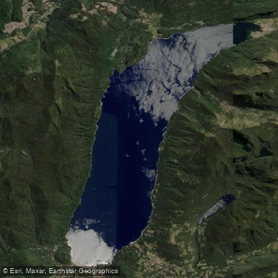
Lago Caburgua
- Boat Ramps
- 0
- Access Points
- 0
- Campsites
- 5
Lago Caburgua is located 23 kilometres northeast of Pucón in the Cautín Province of the La Araucanía Region of Chile, at coordinates 39°07′40″S 71°46′24″W. The lake covers approximately 53 square kilometres and occupies a glacial valley carved along the Liquiñe-Ofqui Fault, with its basin further shaped by lava flows from the Volcanes de Caburgua — a group of six pyroclastic cones situated at the lake's southern tip. This volcanic and glacial origin gives the lake a distinctive geological character.
The lake is part of the Toltén River basin. Its primary inflow is the Blanco River, while outflow occurs underground, feeding the Ojos del Caburgua waterfalls — two falls that appear as one blue and one green eye when viewed from above, and which never run dry even when the surface outflow river dries up during summer. Lago Caburgua's water also contributes to the volume of the Río Trancura via the Río Liucura, making it hydrologically connected to some of the region's most popular whitewater runs.
The lake is used for kayaking, and local outfitters based in Pucón use it for roll practice and skills development, particularly in warm weather when it serves as an alternative to nearby hot springs for instruction. One operator specifically lists the Trancura River Delta and Lago Caburgua as a Class II to III paddling route, suggesting the delta area offers moving water suitable for beginner to intermediate paddlers. The lake itself has warm waters relative to other Andean lakes in the region, which makes it more comfortable for extended time on the water. An open water swimmer completed an 8-mile route on the lake in water recorded at 64°F (approximately 18°C) in December 2023, providing a reference point for summer water temperatures.
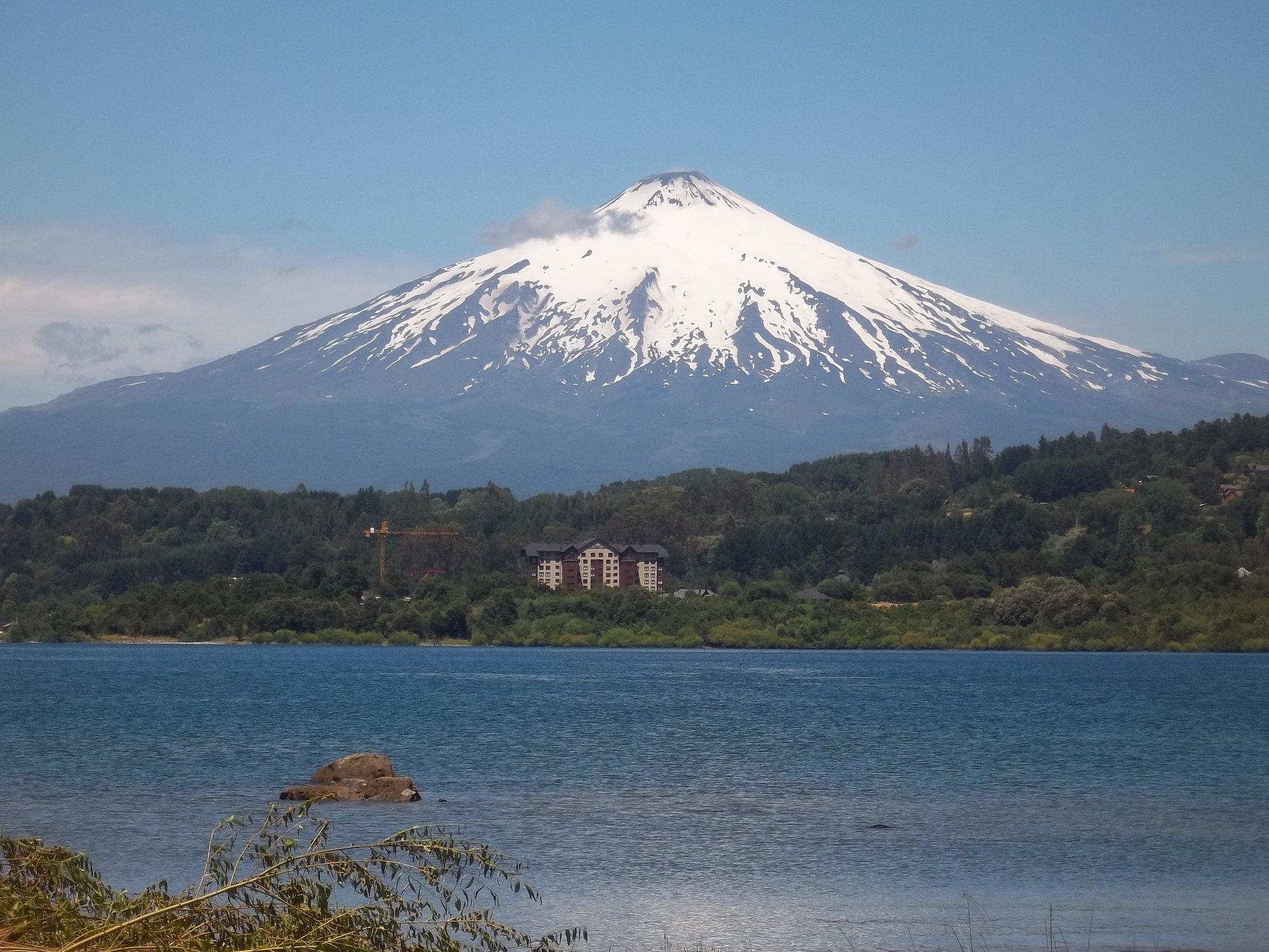
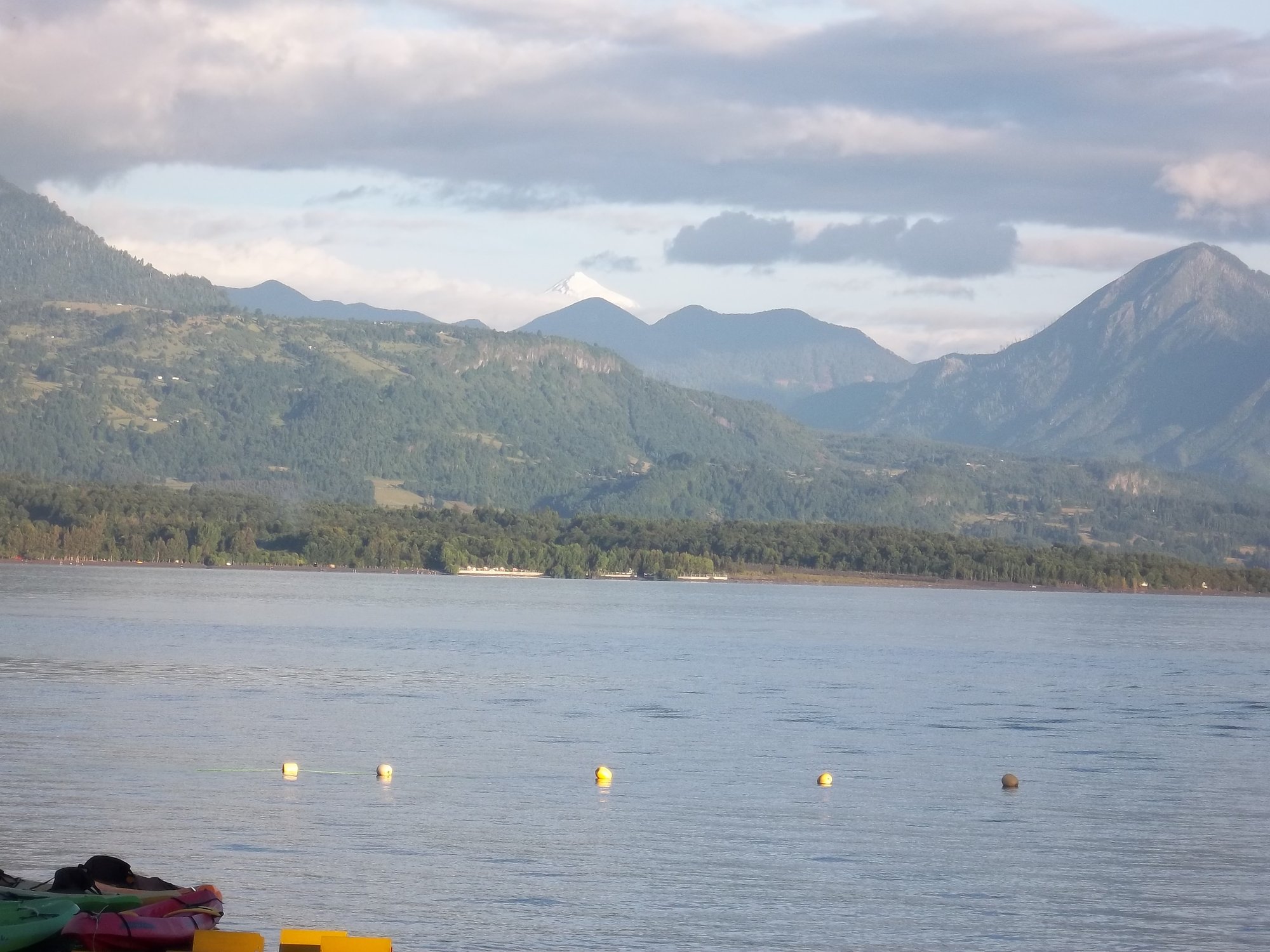
The lake features two beaches — Playa Blanca and Playa Negra — and Huerquehue National Park lies to its east. Views of Volcán Villarrica are visible from the lake area. The town of Caburgua sits on the lake's shores and provides access to basic amenities. The lake is accessible by road via a route connecting Temuco, Freire, Villarrica, Pucón, and Lago Caburgua.
Water access, boat ramps & amenities
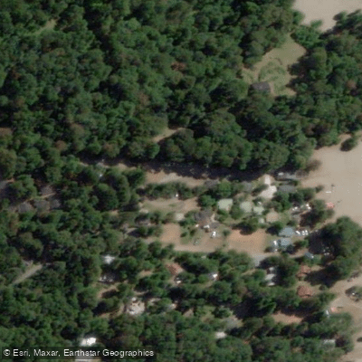
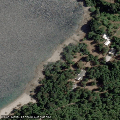
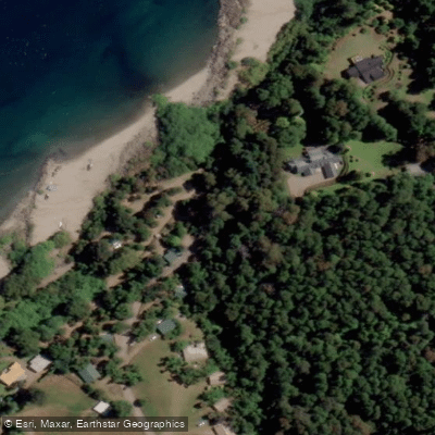
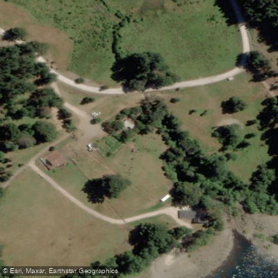
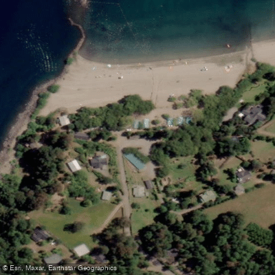
Learn how to get on Lago Caburgua. Uncover great paddling access points, boat ramps, and all the facilities you need for an unforgettable day on the water. Some locations shown may border or include private property. Always check property boundaries and applicable regulations before visiting. PaddleWays's Public & Private Land layer can help you plan your access with confidence.
Paddle smarter with real-time insights
Whether you're en route and conditions shift or you're looking for the best spot based on current flows, we enable you to make informed decisions on the fly.







La Araucanía licenses and regulations
No licenses or regulations available for La Araucanía.
Find Places to Paddle

Over 400,000 Places to Paddle
Every user gets free access to launch points, boat ramps, and public property parcels.


Water and weather conditions (10 day forecast)
See the best times to paddle Lago Caburgua and check the forecast before you go.
Estero La Cascada En Puente Caburgua
Paddling near Lago Caburgua
Lago Villarrica
Río Liucura

Río Toltén
Lago Calafquén
Río Allipén
Río Palguín
Lago Colico
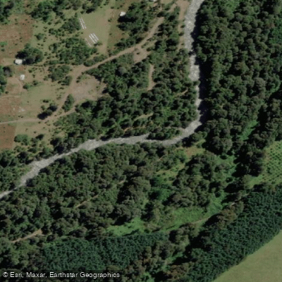
Río Llancahue
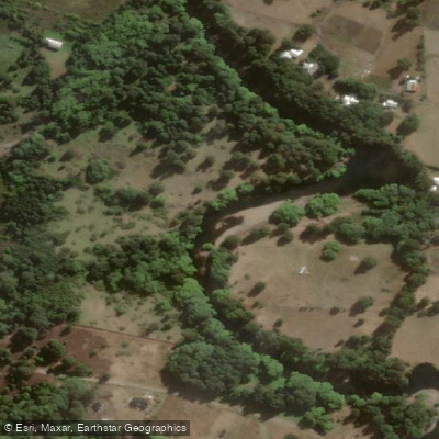
Río Trancura
Explore La Araucanía waters
Top paddling waters
No waters available right now.
Popular Cities
Loading popular cities...
Explore near Lago Caburgua

Smarter Paddling Starts in the App.
Paddleways gives you everything you need to plan smarter, paddle better, and own every trip from first launch to takeout.