Río Liucura
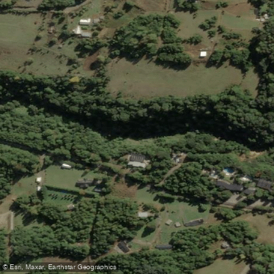
Río Liucura
- Boat Ramps
- 0
- Access Points
- 0
- Campsites
- 2
The Río Liucura flows through the Araucanía Region near Pucón, draining water from Lago Caburgua into the Río Trancura. The river runs through native forest with crystal-clear, cold water and offers views of Volcán Villarrica along much of its length.
The most commonly paddled section runs from a put-in approximately 20 kilometers from Pucón to a takeout near Pucón, covering a stretch rated Class II to III. The put-in is located at a public boat launch ramp reached by turning off the main road and following a side road approximately 1.3 kilometers to where it meets the river (GPS: 39°15'30.0"S, 71°52'26.8"W). The standard takeout is the suspension bridge over the Río Trancura at Pasarela Quelhue, reached from Pucón via the international road by turning left just before the airport and following a gravel road for 2 kilometers (GPS: 39°16'23.9"S, 71°55'22.3"W). Due to occasional vandalism at the bridge, leaving a vehicle unattended there is not recommended; local raft companies in Pucón can often provide a driver for around 5,000 pesos.
The run is generally read-and-run Class III, with the notable exception of "La Leona," a major rapid located shortly after the confluence with the Río Trancura. About 1 kilometer below the put-in sits a well-known play wave that is best in low water conditions, typically February and March. This wave is suitable for developing playboating, ferrying, edge control, combat rolling, and eddy catching. Class III paddlers are advised to take out at a private confluence beach before reaching the lower Trancura; more advanced paddlers can continue to the Quelhue Bridge takeout. The eddy at Tinkerbell Wall requires careful angle management, as incorrect approach has resulted in swims.
Water levels are lower during January and February, which reduces the suitability of the river for kayaking and other paddle sports. The shuttle between put-in and takeout covers roughly 5 miles and takes approximately 10 minutes. A family-friendly floating section also exists between Pucón and Caburgua, covering 6 kilometers in approximately one to one and a half hours, suitable for beginners and families with children as young as three years old.
Water access, boat ramps & amenities
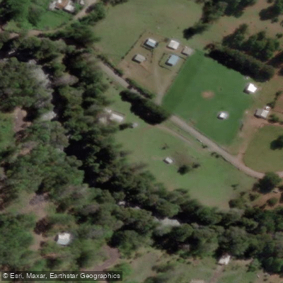
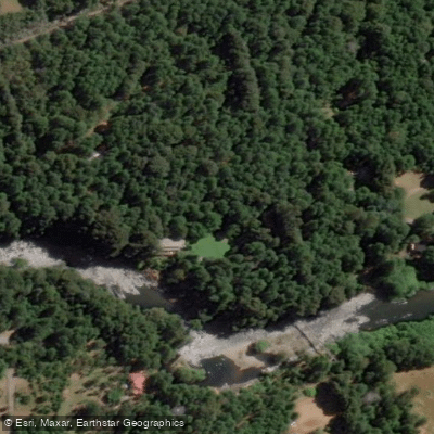
Learn how to get on Río Liucura. Uncover great paddling access points, boat ramps, and all the facilities you need for an unforgettable day on the water. Some locations shown may border or include private property. Always check property boundaries and applicable regulations before visiting. PaddleWays's Public & Private Land layer can help you plan your access with confidence.
Paddle smarter with real-time insights
Whether you're en route and conditions shift or you're looking for the best spot based on current flows, we enable you to make informed decisions on the fly.







La Araucanía licenses and regulations
No licenses or regulations available for La Araucanía.
Find Places to Paddle

Over 400,000 Places to Paddle
Every user gets free access to launch points, boat ramps, and public property parcels.


Water and weather conditions (10 day forecast)
See the best times to paddle Río Liucura and check the forecast before you go.
Rio Liucura En Liucura
Paddling near Río Liucura
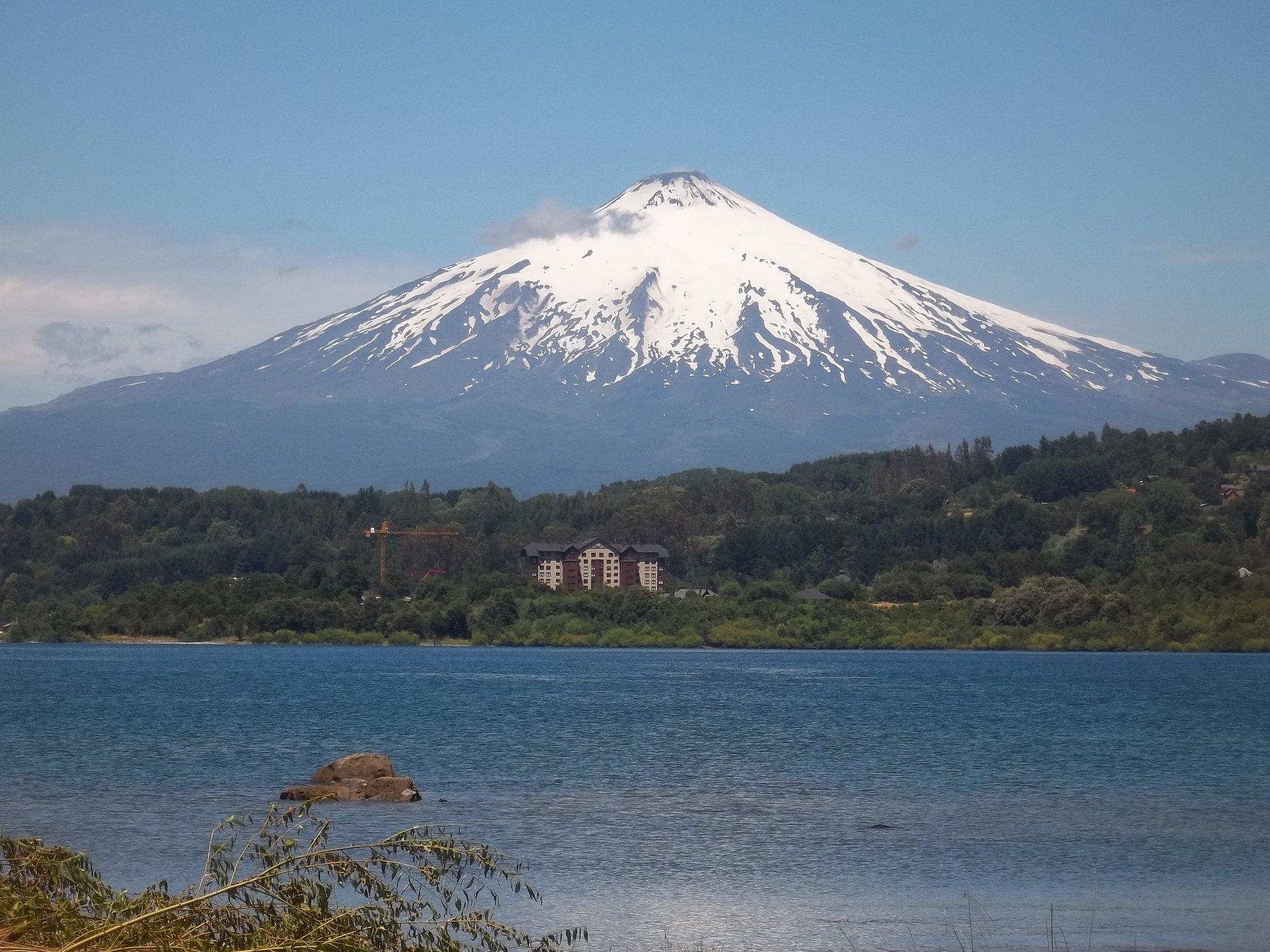
Lago Villarrica
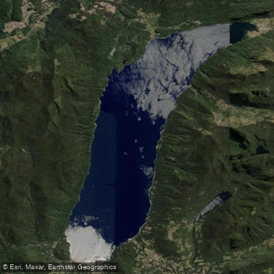
Lago Caburgua

Río Toltén
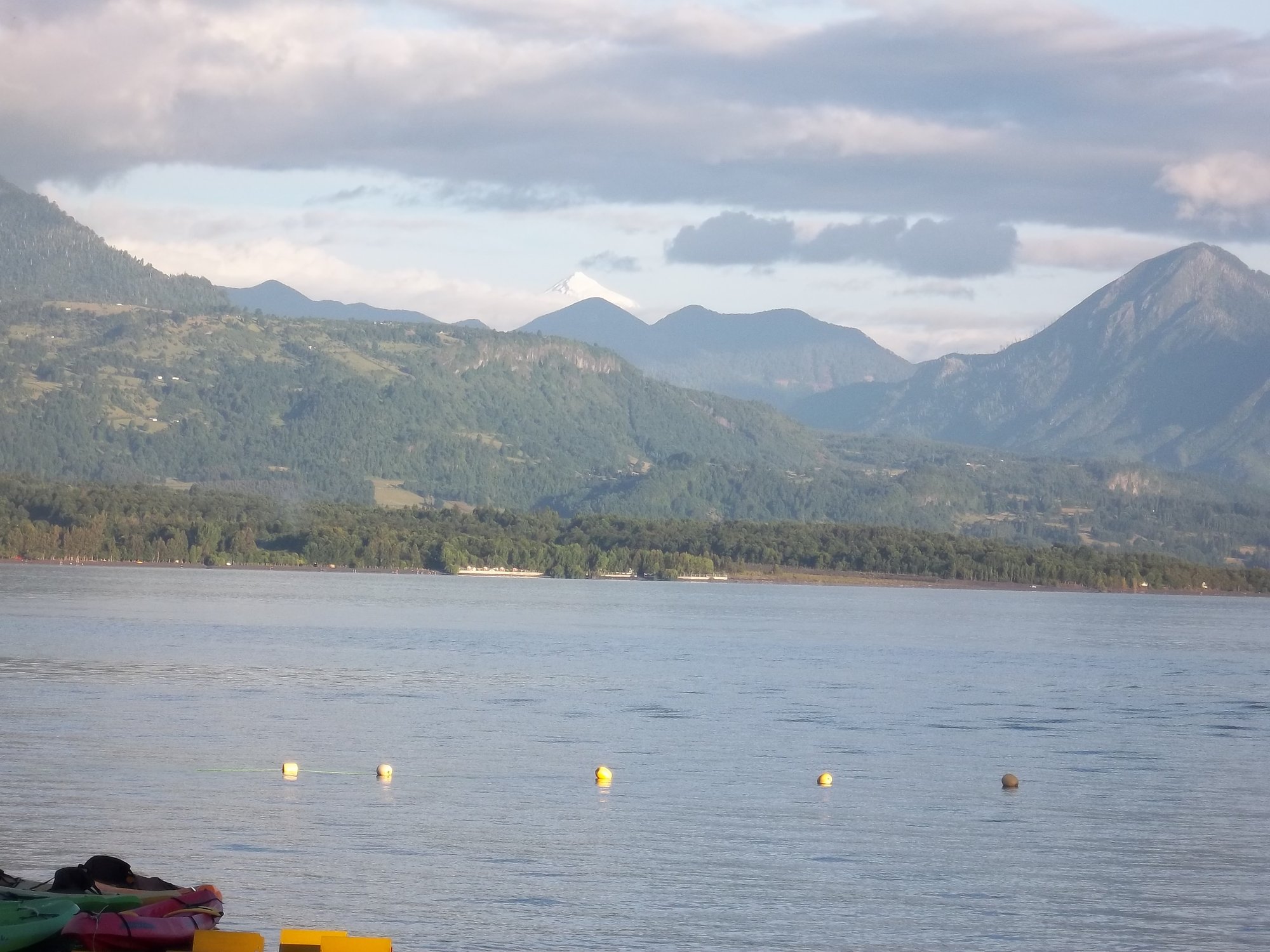
Lago Calafquén
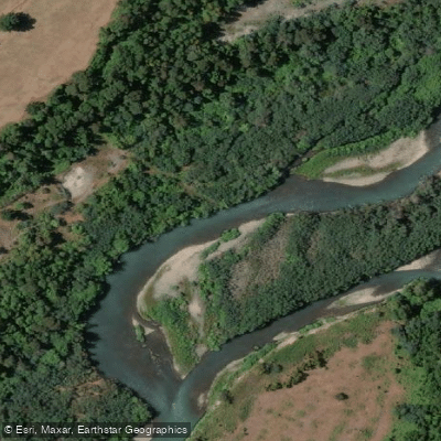
Río Allipén
Río Palguín
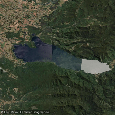
Lago Colico
Río Llancahue
Río Trancura
Explore La Araucanía waters
Top paddling waters
No waters available right now.
Popular Cities
Loading popular cities...
Explore near Río Liucura

Smarter Paddling Starts in the App.
Paddleways gives you everything you need to plan smarter, paddle better, and own every trip from first launch to takeout.