Río Palguín
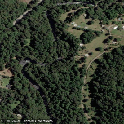
Río Palguín
- Boat Ramps
- 0
- Access Points
- 0
- Campsites
- 1
The Río Palguín is located near Pucón in the Araucanía Region of Chile and is widely regarded as one of the standout whitewater kayaking destinations in the country. The river is typically divided into two distinct sections — the Upper Palguin and the Lower Palguin — each rated roughly Class III to IV+, with individual rapids pushing into the IV+ to V range.
The Upper Palguin is the more celebrated of the two sections and is characterized by a basalt canyon setting. The run is short but intense, featuring a series of clean waterfalls ranging from 10 to 20 feet in height. Access begins at a roadside pulloff near Salto Palguín, though private access with landowner permissions is also used. Vehicle break-ins have been reported at the roadside put-in, so paddlers should avoid leaving valuables in their cars. A notable feature at the put-in is a natural land bridge spanning the river, from which paddlers seal launch into the canyon. The take-out is approximately 0.75 km below the put-in at a pull-off near a fence. The compact nature of the run means that once lines are memorized, the entire section can be completed in 10 to 15 minutes, making it highly lappable.
Key rapids on the Upper include the Put-in Drop (IV+ to V), which requires boofing an entry hole and maintaining a straight line for the exit; a blind left-bending drop of roughly ten feet; and the Pinch Drop (IV+ to V), a narrow three-chute rapid only a boat-width wide. There is also a large rapid downstream that is consistently portaged via trail on river right out of respect following a fatality at that location. Paddlers should be aware of this hazard and follow the established portage.
Skills required for the Upper Palguin include a solid combat roll, creek eddy-catching, low-volume ferrying, and boof technique. At low water the run is more manageable, but at medium and higher flows backed-up boils and hydraulics increase significantly.
The Lower Palguin offers similarly scenic paddling and concludes with an autoboof drop that is considered one of the more enjoyable features in the area. The take-out for the Lower is at a bridge accessed via a dirt road. Local outfitters based in Pucón, including KayakPucon, provide guided access and logistical support for both sections.
Water access, boat ramps & amenities
Learn how to get on Río Palguín. Uncover great paddling access points, boat ramps, and all the facilities you need for an unforgettable day on the water. Some locations shown may border or include private property. Always check property boundaries and applicable regulations before visiting. PaddleWays's Public & Private Land layer can help you plan your access with confidence.
Paddle smarter with real-time insights
Whether you're en route and conditions shift or you're looking for the best spot based on current flows, we enable you to make informed decisions on the fly.







La Araucanía licenses and regulations
No licenses or regulations available for La Araucanía.
Find Places to Paddle

Over 400,000 Places to Paddle
Every user gets free access to launch points, boat ramps, and public property parcels.


Water and weather conditions (10 day forecast)
See the best times to paddle Río Palguín and check the forecast before you go.
No forecast data available.
Paddling near Río Palguín
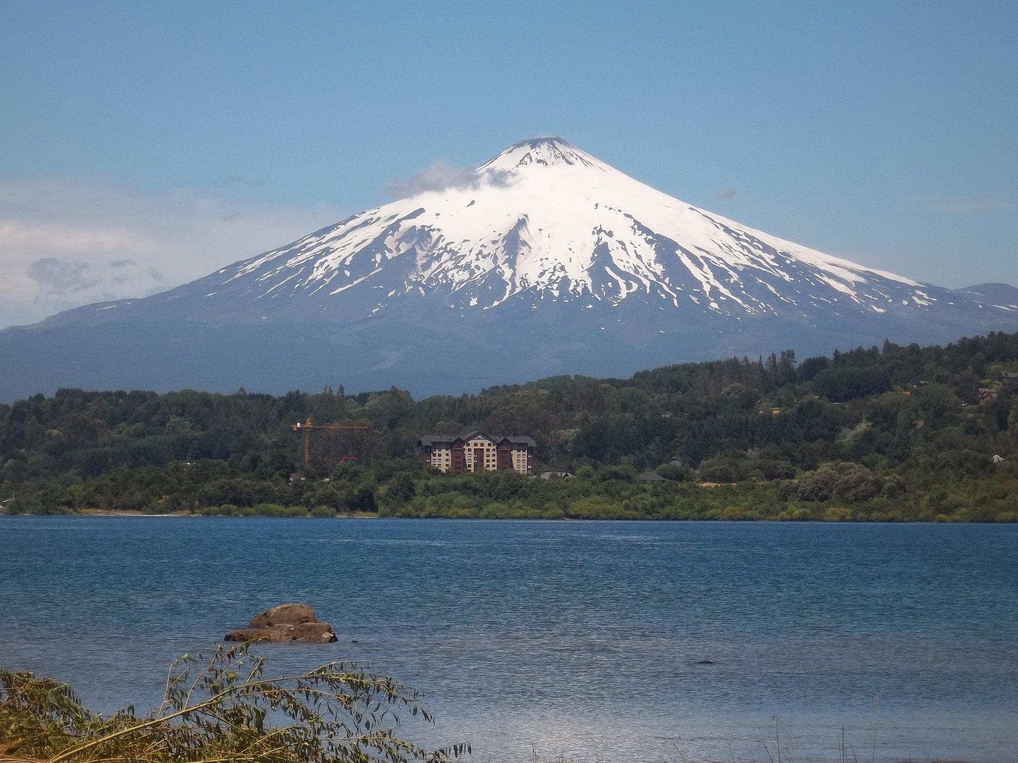
Lago Villarrica

Río Liucura
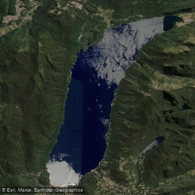
Lago Caburgua

Río Toltén
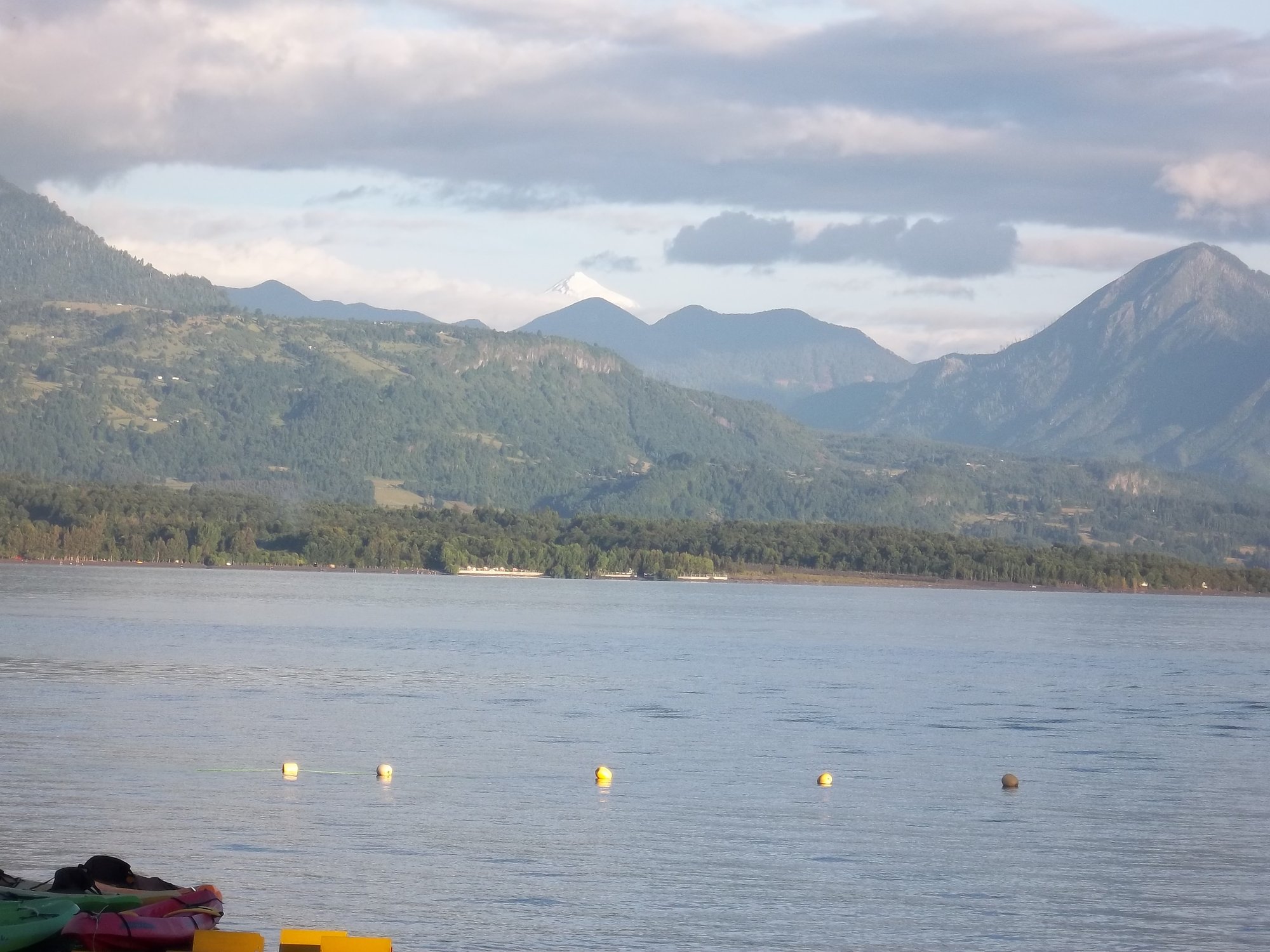
Lago Calafquén
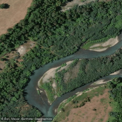
Río Allipén
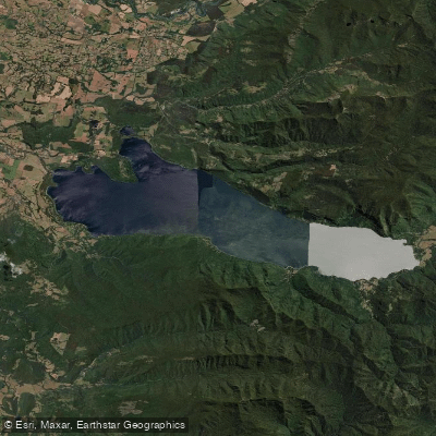
Lago Colico
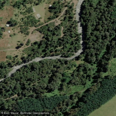
Río Llancahue
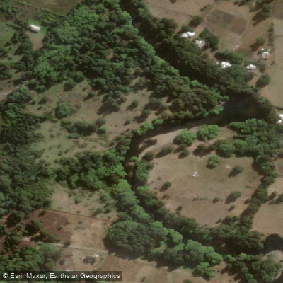
Río Trancura
Explore La Araucanía waters
Top paddling waters
No waters available right now.
Popular Cities
Loading popular cities...
Explore near Río Palguín

Smarter Paddling Starts in the App.
Paddleways gives you everything you need to plan smarter, paddle better, and own every trip from first launch to takeout.