Río Allipén
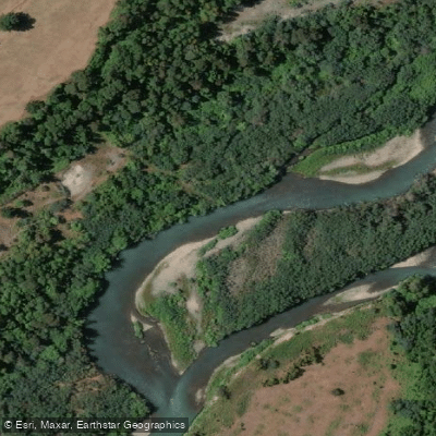
Río Allipén
- Boat Ramps
- 0
- Access Points
- 0
- Campsites
- 1
The Río Allipén is a 108-kilometer river in the La Araucanía Region of Chile, formed at the confluence of the Trufultruful and Zahuelhue rivers near Melipeuco. It drains a basin of approximately 2,325 square kilometers, with roughly 36 percent of that area overlapping with Conguillío National Park (including a 5-kilometer buffer zone around the park). The river flows generally westward before emptying into the Toltén River at approximately 39°00′50″S, 72°31′17″W. Its main tributary is the Curaco River, which carries the outflow of Lago Colico.
The river is navigable by raft and kayak, and floating it with knowledgeable local guides is strongly recommended given the river's character. Guided float trips are available, with outfitters operating inflatable rafts on the river. The town of Cunco lies along the river's course and represents one reference point for access, while Melipeuco near the headwaters is another.
The Allipén is well regarded among anglers for its resident trout population as well as seasonal runs of Chinook salmon, which draw considerable attention. Rainbow trout, brown trout, and Chinook salmon are the primary species encountered. The combination of fishing and floating makes the river a notable destination in Chilean Patagonia for those interested in both activities simultaneously.
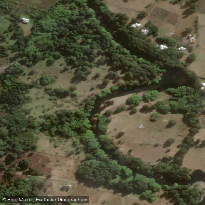
Beyond paddling and fishing, the surrounding area supports hiking and horseback riding, reflecting the generally accessible and varied outdoor character of the corridor. The river's name derives from the Mapuche language and translates roughly as "planted grove," pointing to the forested riparian landscape that characterizes much of its course.
No specific paddling restrictions or regulated access points have been documented, nor are detailed hazard descriptions or seasonal water temperature data readily established. Paddlers planning a trip should consult local guides familiar with current river conditions, as the Allipén's gradient, flow variability, and specific put-in and take-out logistics are best confirmed on the ground.
Water access, boat ramps & amenities
Learn how to get on Río Allipén. Uncover great paddling access points, boat ramps, and all the facilities you need for an unforgettable day on the water. Some locations shown may border or include private property. Always check property boundaries and applicable regulations before visiting. PaddleWays's Public & Private Land layer can help you plan your access with confidence.
Paddle smarter with real-time insights
Whether you're en route and conditions shift or you're looking for the best spot based on current flows, we enable you to make informed decisions on the fly.







La Araucanía licenses and regulations
No licenses or regulations available for La Araucanía.
Find Places to Paddle

Over 400,000 Places to Paddle
Every user gets free access to launch points, boat ramps, and public property parcels.


Water and weather conditions (10 day forecast)
See the best times to paddle Río Allipén and check the forecast before you go.
Rio Allipen En Melipeuco
All Flow Stations
Paddling near Río Allipén
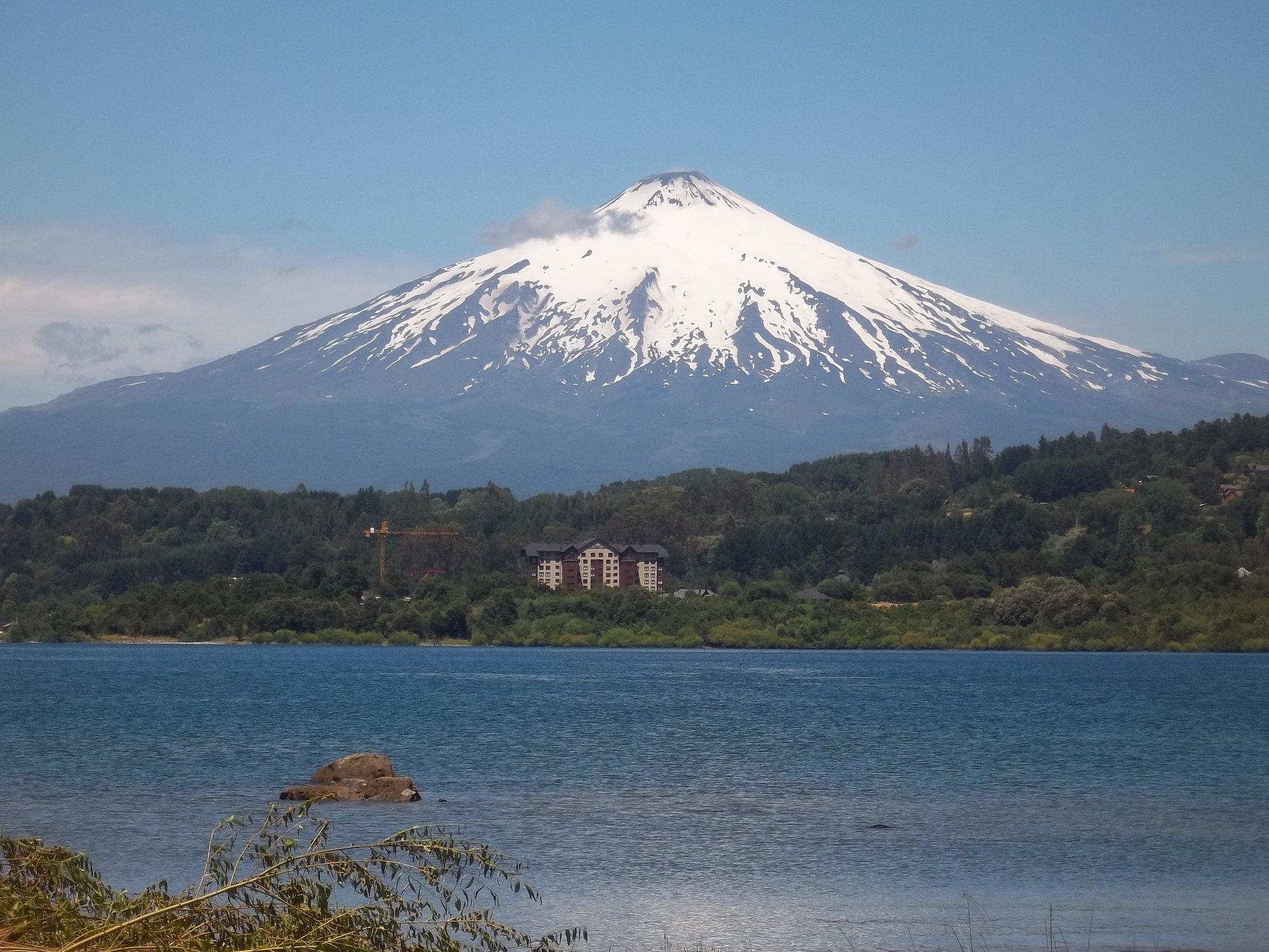
Lago Villarrica
Río Liucura
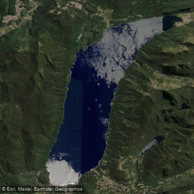
Lago Caburgua

Río Toltén
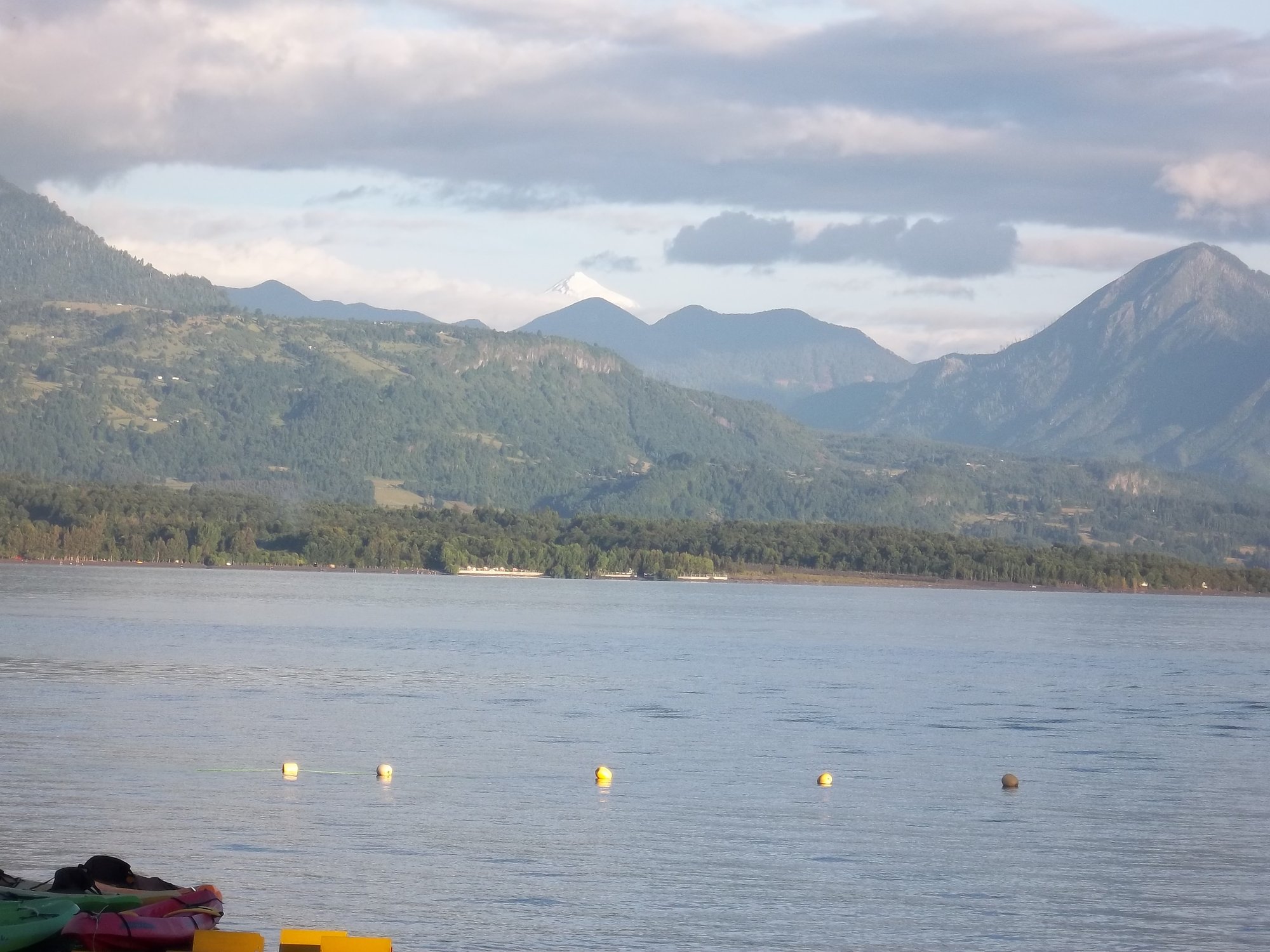
Lago Calafquén
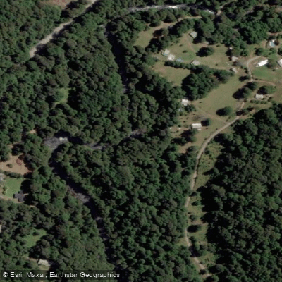
Río Palguín
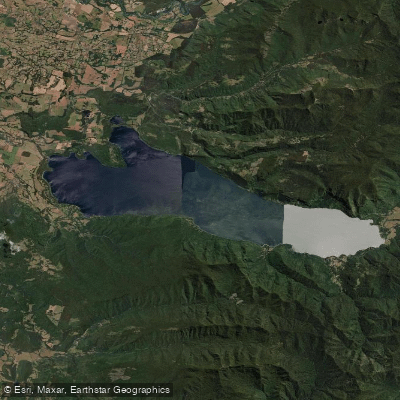
Lago Colico
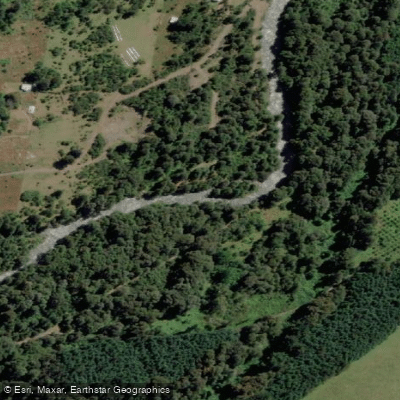
Río Llancahue
Río Trancura
Explore La Araucanía waters
Top paddling waters
No waters available right now.
Popular Cities
Loading popular cities...
Explore near Río Allipén
Access points
Nearby waters
More in La Araucanía

Smarter Paddling Starts in the App.
Paddleways gives you everything you need to plan smarter, paddle better, and own every trip from first launch to takeout.