Lago Budi
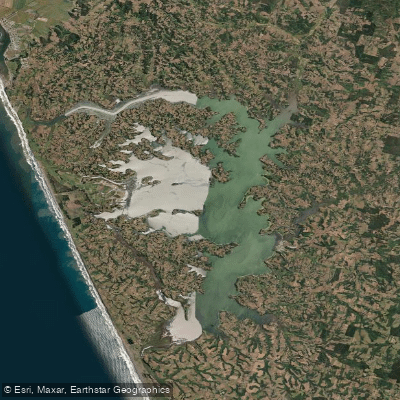
Lago Budi
- Boat Ramps
- 5
- Access Points
- 10
- Campsites
- 1
Lago Budi is a brackish, tidal lake situated near the Pacific coast in the La Araucanía Region of southern Chile, straddling the boundary between the Saavedra and Teodoro Schmidt communes. Its name derives from the Mapudungun word "Füzi," meaning salt. The lake covers a surface area of 56.2 square kilometers, with a shoreline of approximately 105 kilometers and a maximum depth of 10.5 meters. It sits at an elevation of just 2 meters above sea level.
Unlike the majority of Chilean lakes, Lago Budi is not of glacial origin and lies outside the Andes mountain range. It formed through tectonic movements and eustatic sea level changes, and occupies a coastal plain just south of the Nahuelbuta Range and north of the Valdivian Coastal Range, where the Chilean Coast Range is notably low. It is considered one of the few lakes along the entire west coast of the Americas that receives seasonal inflows of seawater, giving it a brackish character that distinguishes it from the freshwater lakes more commonly associated with the region.
The lake drains via the Budi River, while its primary inflows are the Estero Comoe and Estero Boyeco. The main settlement on its shores is Puerto Domínguez. Kayaking is an established activity on the lake, and paddlers can expect to encounter black-necked swans among the wildlife present on the water. The broader coastal area, known as the Lafkenche coast, carries significant cultural importance as the homeland of the Lafkenche Mapuche people, whose relationship with the sea and lake environment is a defining feature of the region.
The nearby town of Puerto Saavedra offers access to marine gastronomy and cultural experiences. Given the lake's tidal connection to the sea, paddlers should be aware of the brackish water conditions and the potential influence of tidal fluctuations on water levels and currents. Summer is noted as a favorable time to visit and explore the lake.
Water access, boat ramps & amenities
Learn how to get on Lago Budi. Uncover great paddling access points, boat ramps, and all the facilities you need for an unforgettable day on the water. Some locations shown may border or include private property. Always check property boundaries and applicable regulations before visiting. PaddleWays's Public & Private Land layer can help you plan your access with confidence.
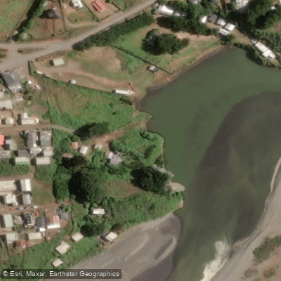
Boca Budi
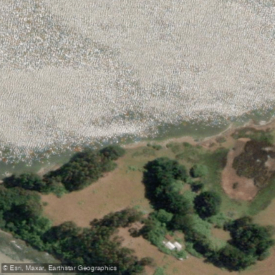
Embarcadero Cofré
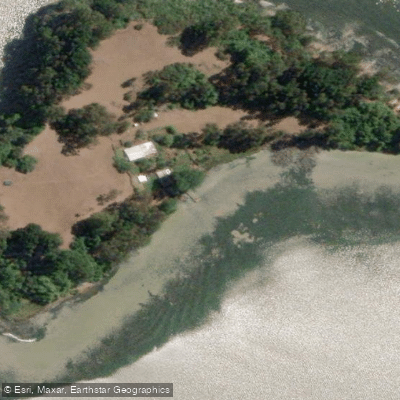
Embarcadero Huentén
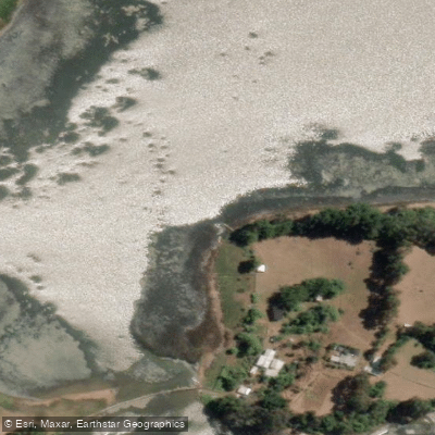
Embarcadero Isla Llepo 2
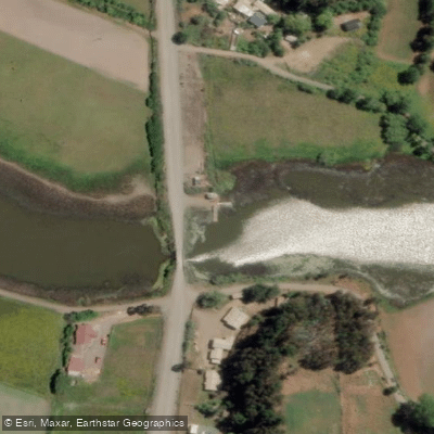
Embarcadero Puente El Roble
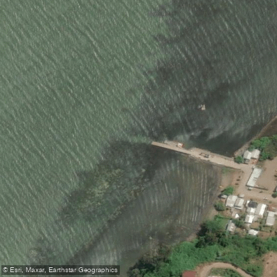
Embarcadero Puerto Domínguez
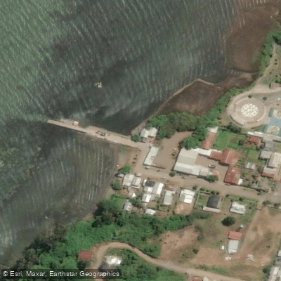
Muelle Puerto Domínguez
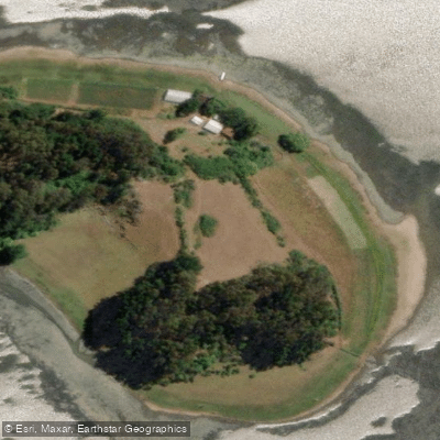
Naguelhuapi
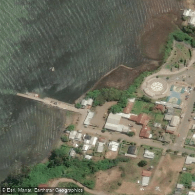
Puerto Dominguez
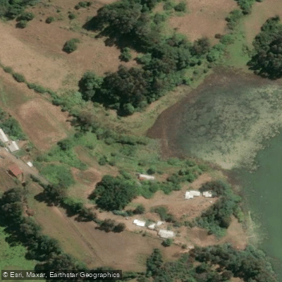
Romopulli
Paddle smarter with real-time insights
Whether you're en route and conditions shift or you're looking for the best spot based on current flows, we enable you to make informed decisions on the fly.







La Araucanía licenses and regulations
No licenses or regulations available for La Araucanía.
Find Places to Paddle

Over 400,000 Places to Paddle
Every user gets free access to launch points, boat ramps, and public property parcels.


Water and weather conditions (10 day forecast)
See the best times to paddle Lago Budi and check the forecast before you go.
No forecast data available.
Paddling near Lago Budi
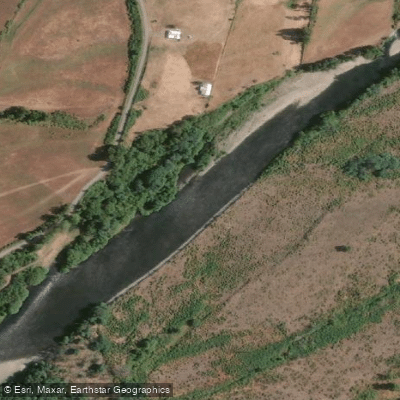
Río Cautín
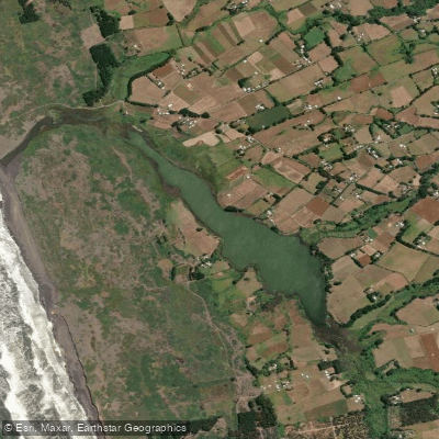
Laguna Puyehue

Río Toltén
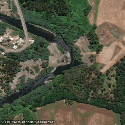
Río Quepe
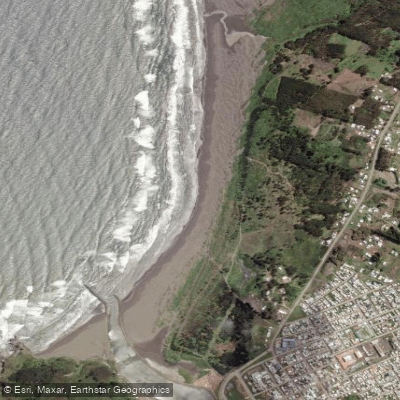
Playa Tirúa
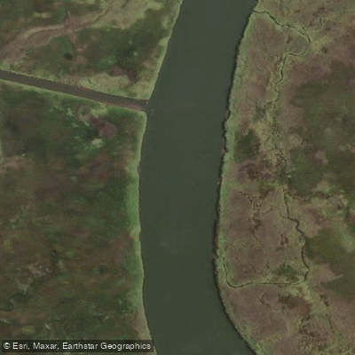
Río Moncul
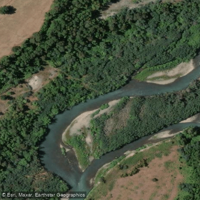
Río Allipén
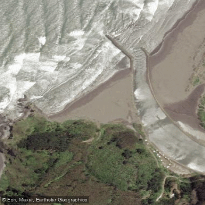
La Puntilla
Estero El Peral
Explore La Araucanía waters
Top paddling waters
No waters available right now.
Popular Cities
Loading popular cities...
Explore near Lago Budi
Access points
Nearby waters
More in La Araucanía

Smarter Paddling Starts in the App.
Paddleways gives you everything you need to plan smarter, paddle better, and own every trip from first launch to takeout.