Laguna Puyehue
- Saltwater
- Lagoon
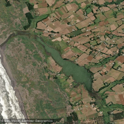
Laguna Puyehue
- Saltwater
- Lagoon
- Sq. miles
- 0.1
- Boat Ramps
- 0
- Access Points
- 0
- Campsites
- 0
Laguna Puyehue is a coastal lagoon located in the commune of Teodoro Schmidt, Provincia de Cautín, Chile, approximately 7.8 kilometers from Hualpin on the road to Puerto Domínguez. It is a saltwater feature with a wide expanse and a direct connection to the Pacific Ocean via its northern end. This marine connection means paddlers must plan around tidal cycles. The lagoon experiences a notable tidal range, with low tide heights recorded as low as -0.65 meters and high tides exceeding 0.85 meters. Paddlers should consult local tide charts to time their trips, aiming to navigate during a rising or high tide to ensure sufficient water depth, particularly near the lagoon's mouth. The open water body and its exposure to the ocean suggest the potential for wind-driven waves and fetch, requiring paddlers to assess conditions and be prepared for crossings. The area is known for its rich biodiversity, especially as a habitat for migratory birds, making it a prime destination for wildlife observation and nature photography from the water. The surrounding landscape is characterized by shrub vegetation and grasslands, contributing to a tranquil, natural aesthetic. The proximity to beaches like Porma, Peleco, and Rucacura suggests potential coastal access points, and the mention of kayaking as an activity confirms it is a paddling destination. The overall character is one of a quiet, ecotourism-focused environment ideal for flatwater paddlers seeking a connection with coastal wildlife and serene landscapes.
Water access, boat ramps & amenities
Learn how to get on Laguna Puyehue. Uncover great paddling access points, boat ramps, and all the facilities you need for an unforgettable day on the water. Some locations shown may border or include private property. Always check property boundaries and applicable regulations before visiting. PaddleWays's Public & Private Land layer can help you plan your access with confidence.
Paddle smarter with real-time insights
Whether you're en route and conditions shift or you're looking for the best spot based on current flows, we enable you to make informed decisions on the fly.







La Araucanía licenses and regulations
No licenses or regulations available for La Araucanía.
Find Places to Paddle

Over 400,000 Places to Paddle
Every user gets free access to launch points, boat ramps, and public property parcels.


Tides, wind & water conditions (10 day forecast)
On open water, wind and tide matter as much as the weather. See the best times to paddle Laguna Puyehue and check the marine forecast before you launch.
Loading tide predictions…
Paddling near Laguna Puyehue
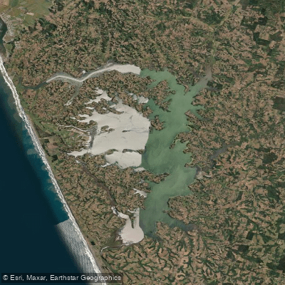
Lago Budi
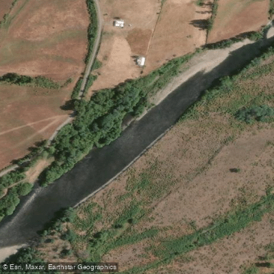
Río Cautín

Río Toltén
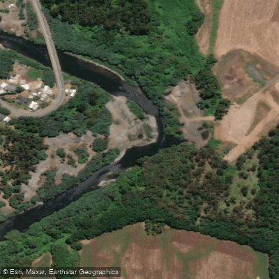
Río Quepe
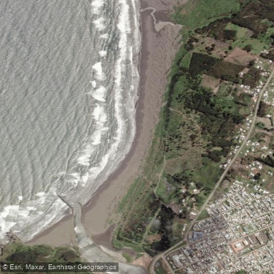
Playa Tirúa
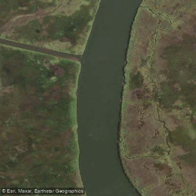
Río Moncul
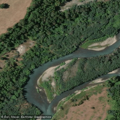
Río Allipén
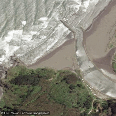
La Puntilla
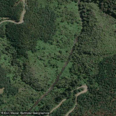
Estero El Peral
Explore La Araucanía waters
Top paddling waters
No waters available right now.
Popular Cities
Loading popular cities...
Explore near Laguna Puyehue
Nearby waters
More in La Araucanía

Smarter Paddling Starts in the App.
Paddleways gives you everything you need to plan smarter, paddle better, and own every trip from first launch to takeout.