Playa Los Pinos
- Saltwater
- Beach
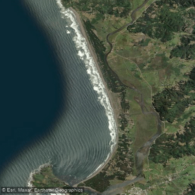
Playa Los Pinos
- Saltwater
- Beach
- Sq. miles
- 0.1
- Boat Ramps
- 0
- Access Points
- 0
- Campsites
- 0
Playa Los Pinos is an extensive, minimally developed beach located in the Costa Araucanía region of Chile, within the commune of Teodoro Schmidt, Provincia de Cautín. The beach is characterized by its long, open shoreline, which is ideal for walking and offers a sense of solitude. For paddlers, the primary access is from the beach itself, where a beach parador (a small structure or hut) serves as a focal point for launching, with kayak availability for public use. The carry distance from parking to the water's edge is substantial given the beach's extensive nature, requiring a potentially long walk across sand. This is an open ocean beach exposed to swells, primarily from the east-northeast direction. Wave heights can reach 1.6 meters with a 7-second period, and strong cross-offshore winds are common, creating conditions that require experience for a surf launch and landing. The water temperature is cold, averaging around 11°C, necessitating a 3/2mm wetsuit for thermal protection year-round. Paddling conditions are heavily influenced by tide, wind, and swell. The Río Toltén is a notable nearby destination for paddling, accessible from the beach's vicinity and offering a potential route for sheltered exploration or river-to-sea trips. The overall vibe is of a remote, natural coastline with limited facilities, where paddlers must be self-sufficient and prepared for dynamic ocean conditions, cool water, and potential low visibility.
Water access, boat ramps & amenities
Learn how to get on Playa Los Pinos. Uncover great paddling access points, boat ramps, and all the facilities you need for an unforgettable day on the water. Some locations shown may border or include private property. Always check property boundaries and applicable regulations before visiting. PaddleWays's Public & Private Land layer can help you plan your access with confidence.
Paddle smarter with real-time insights
Whether you're en route and conditions shift or you're looking for the best spot based on current flows, we enable you to make informed decisions on the fly.







La Araucanía licenses and regulations
No licenses or regulations available for La Araucanía.
Find Places to Paddle

Over 400,000 Places to Paddle
Every user gets free access to launch points, boat ramps, and public property parcels.


Tides, wind & water conditions (10 day forecast)
On open water, wind and tide matter as much as the weather. See the best times to paddle Playa Los Pinos and check the marine forecast before you launch.
Loading tide predictions…
Paddling near Playa Los Pinos

Río Calle Calle
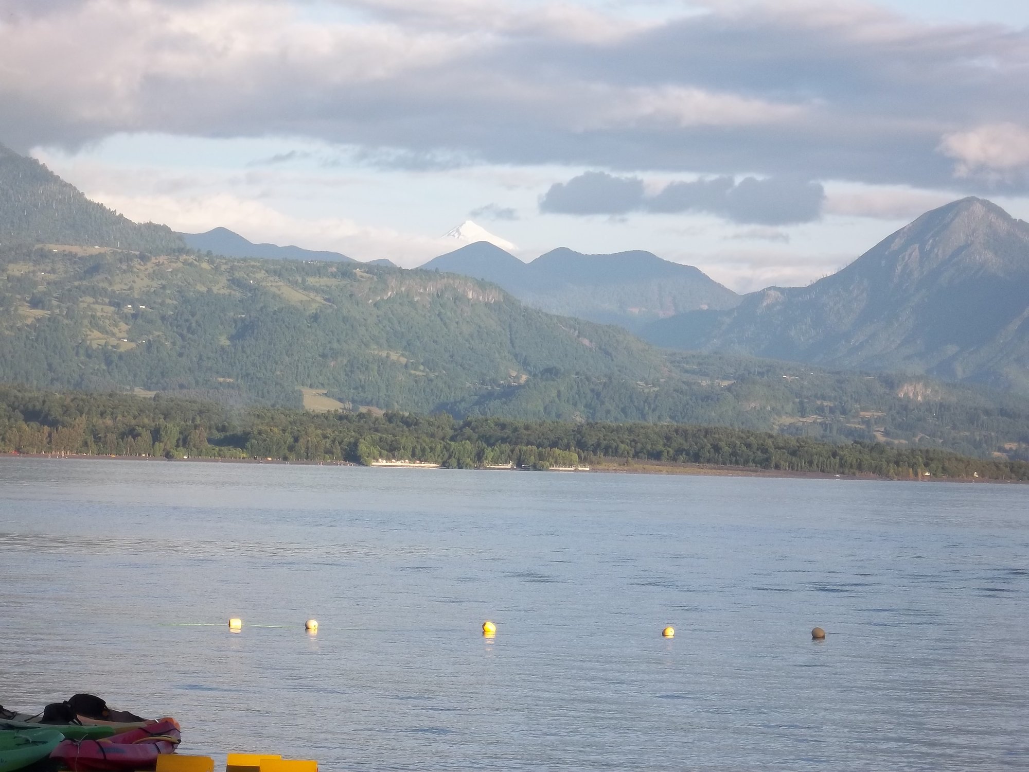
Lago Calafquén

Río Toltén
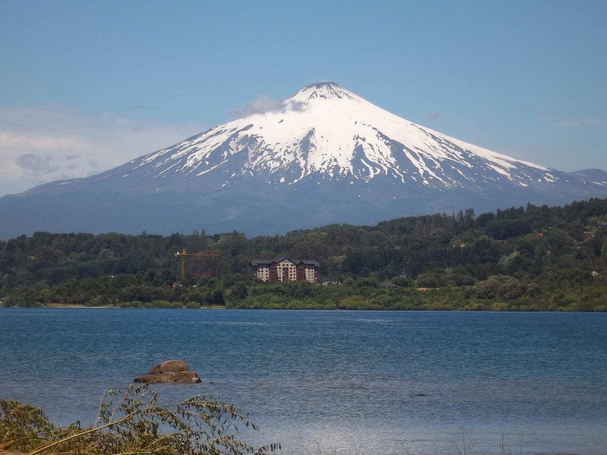
Lago Villarrica
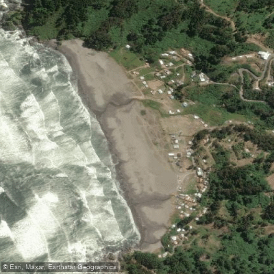
Playa Cheuque
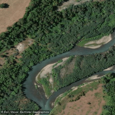
Río Allipén
Río Valdivia
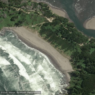
Playa Ronca
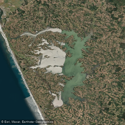
Lago Budi
Explore La Araucanía waters
Top paddling waters
No waters available right now.
Popular Cities
Loading popular cities...
Explore near Playa Los Pinos
Nearby waters
More in La Araucanía

Smarter Paddling Starts in the App.
Paddleways gives you everything you need to plan smarter, paddle better, and own every trip from first launch to takeout.